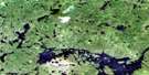
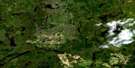
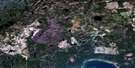
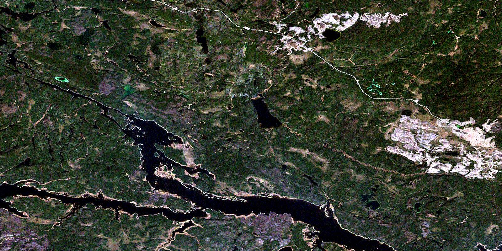
D'Orsonnens Lake Satellite Image Map
Download Free Aerial Photo 052I16 at 1:50,000 scale
D'Orsonnens Lake Satellite Imagery
To view this satellite map, mouse over the air photo on the right.
You can also download this satellite image map for free:
052I16 D'Orsonnens Lake high-resolution satellite image map.
Maps for the D'Orsonnens Lake aerial map sheet 052I16 at 1:50,000 scale are also available in these versions:
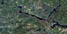
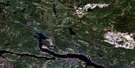
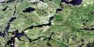
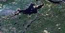
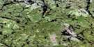
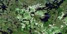
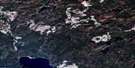
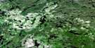
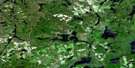
D'Orsonnens Lake Surrounding Area Aerial Photo Maps
 |
 |
 |
 |
 |
 |
 |
 |
 |
 |
 |
 |
 |
 |
 |
 |
© Department of Natural Resources Canada. All rights reserved.
D'Orsonnens Lake Gazetteer
The following places can be found on satellite image map 052I16 D'Orsonnens Lake:
D'Orsonnens Lake Satellite Image: Hydraulic construction
Waboose DamD'Orsonnens Lake Satellite Image: Lakes
Allard LakeArlotte Lake
d'Orsonnens Lake
Foris Lake
Goose Lake
Hendry Lake
McQueen Lake
Napper Lake
Ogoki Reservoir
Oldman Lake
Short Lake
Styffe Lake
D'Orsonnens Lake Satellite Image: Rapids
Calm Lake RapidsSentinel Rock Rapids
D'Orsonnens Lake Satellite Image: Rivers
d'Orsonnens RiverMojikit River
Ogoki River
Oldman Creek
Scamp Creek
© Department of Natural Resources Canada. All rights reserved.
052I Related Maps:
052I Armstrong052I01 Ombabika Bay
052I02 Castle Lake
052I03 Wigwasan Lake
052I04 Aldridge Lake
052I05 Onamakawash Lake
052I06 Armstrong
052I07 Pikitigushi Lake
052I08 Little Jackfish River
052I09 Mojikit Lake
052I10 Linklater Lake
052I11 Goldsborough Lake
052I12 Wabakimi Lake
052I13 Burntrock Lake
052I14 Grayson Lake
052I15 Whiteclay Lake
052I16 D'Orsonnens Lake
