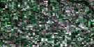
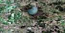
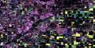
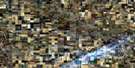
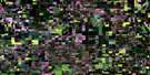
Tilston Satellite Image Map
Download Free Aerial Photo 062F06 at 1:50,000 scale
Tilston Satellite Imagery
To view this satellite map, mouse over the air photo on the right.
You can also download this satellite image map for free:
062F06 Tilston high-resolution satellite image map.
Maps for the Tilston aerial map sheet 062F06 at 1:50,000 scale are also available in these versions:
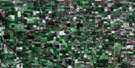
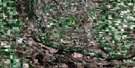
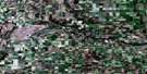
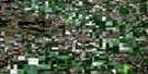
Tilston Surrounding Area Aerial Photo Maps
 |
 |
 |
 |
 |
 |
 |
 |
 |
 |
 |
 |
 |
 |
 |
 |
© Department of Natural Resources Canada. All rights reserved.
Tilston Gazetteer
The following places can be found on satellite image map 062F06 Tilston:
Tilston Satellite Image: Other municipal/district area - miscellaneous
AlbertArgyle No. 1
Arthur
Edward
Storthoaks No. 31
Tilston Satellite Image: Conservation areas
Broomhill Wildlife Management AreaGerald W. Malaher Wildlife Management Area
Lieu historique national du Canada des Monticules-Linéaires
Linear Mounds National Historic Site of Canada
Tilston Satellite Image: Provinces
ManitobaTilston Satellite Image: Rivers
Graham CreekJackson Creek
Stony Creek
Tilston Satellite Image: Road features
Boundary Commission - N.W.M.P. RouteTilston Satellite Image: Unincorporated areas
BroomhillFertile
Tilston

© Department of Natural Resources Canada. All rights reserved.
