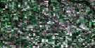
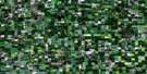
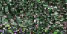
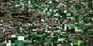
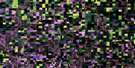
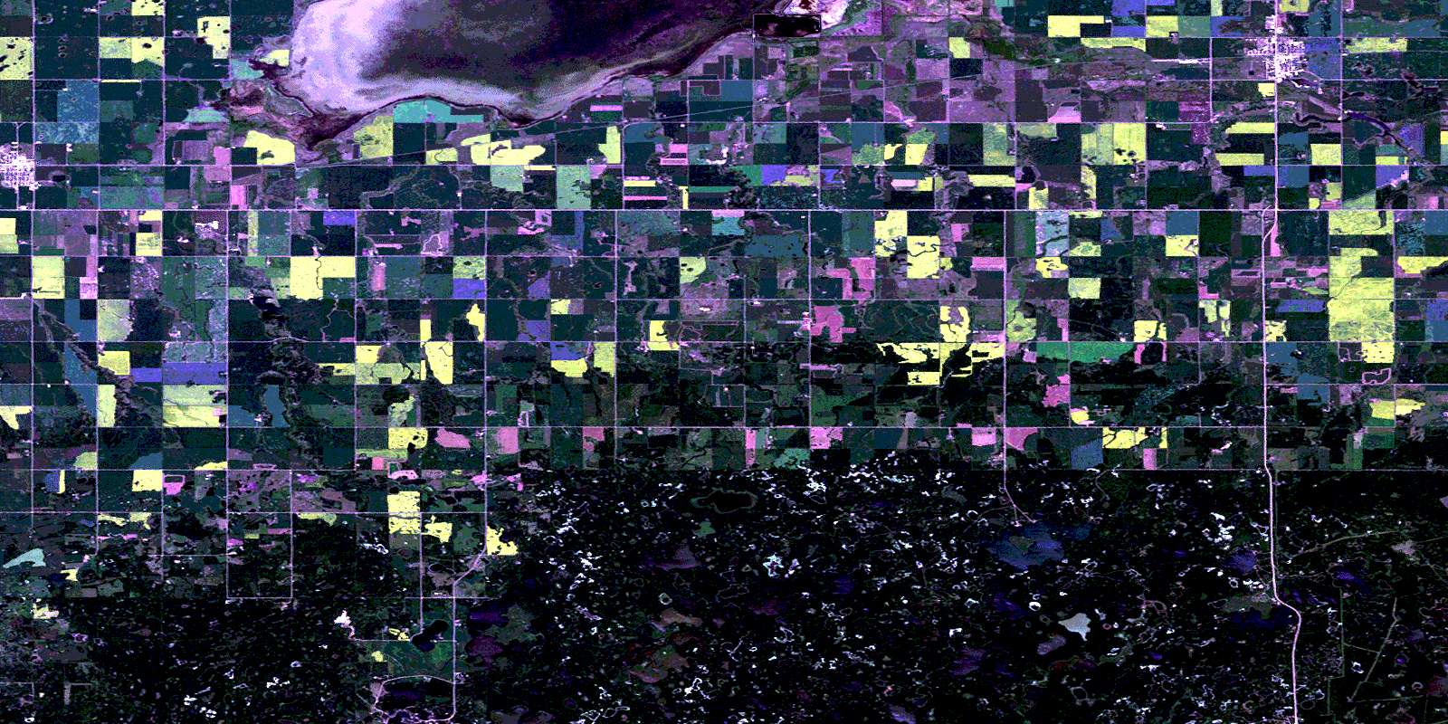
Deloraine Satellite Image Map
Download Free Aerial Photo 062F01 at 1:50,000 scale
Deloraine Satellite Imagery
To view this satellite map, mouse over the air photo on the right.
You can also download this satellite image map for free:
062F01 Deloraine high-resolution satellite image map.
Maps for the Deloraine aerial map sheet 062F01 at 1:50,000 scale are also available in these versions:
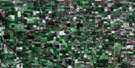
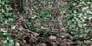
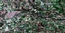
Deloraine Surrounding Area Aerial Photo Maps
 |
 |
 |
 |
 |
 |
 |
 |
 |
 |
 |
 |
 |
 |
 |
 |
© Department of Natural Resources Canada. All rights reserved.
Deloraine Gazetteer
The following places can be found on satellite image map 062F01 Deloraine:
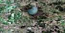
Deloraine Satellite Image: Hydraulic construction
Derksen-Heide DamL-8 Dam
Sharpe Lake Dam
Turtlehead Creek Dam
Deloraine Satellite Image: Islands
Arbor IslandEagle Island
Deloraine Satellite Image: Lakes
Adam LakeBella Lake
Big Sandy Lake
Bittner Lakes
Boissevain Reservoir
Bone Lake
Boundary Lake
Bower Lake
Breadon Lake
Cauldwell Lake
Cavalier Lake
Centre Fence Lake
Chard Lake
Charles Lake
Charlton Lake
Coatstone Reservoir
Collin Lake
Deep Sandy Lake
Deloraine Reservoir
Derksen-Heide Reservoir
Dromore Lake
Edward Lake
Eighty Lake
El Lake
Elizabeth Lake
Emma Lake
Eramosh Lake
Ferguson Lakes
Five Lake
Flossie Lake
George Lake
Goldie Lake
Gordon Lake
Gravel Lake
Hartley Lake
Hathaway Lake
Holmes Lake
Horace Lake
Horseshoe Lake
Isabella Lake
James Lake
John Lake
Katie Lake
Lac Légaré
Lake Nine
Lake Stormon
Lila Lake
Line Lake
Little Fish Lake
Little Long Lake
Little Sandy Lake
Little Thirteen Lake
Long Lake
Loon Lake
Lulu Lake
Margaret Lake
Martin Lake
Mary Lake
Matts Lake
Max Lake
Metigoshe Lake
Mink Lake
Morins Lake
Mud Lake
Nellie Lake
North Lake of the Island
Oil Well Lake
Oskar Lake
Partridge Lake
Perry Lake
Poker Lake
Polly Lake
Rebecca Lake
Ross Lake
Sandy Lake
Schoolhouse Lake
Sharpe Lake
Shoofly Lake
Slaughterhouse Lakes
South Lake of the Island
South Oskar Lake
Stanley Lake
Stormon Lake
Stovin Lake
Timber Lake
Twin Lakes
Verner Lake
West McKay Lake
Whitewater Lake
Wood Lake
Deloraine Satellite Image: Mountains
Birch HillTurtle Mountain
Turtles Back
Deloraine Satellite Image: Other municipal/district area - miscellaneous
MortonWinchester
Deloraine Satellite Image: Conservation areas
International Peace GardenTurtle Mountain Provincial Park
Turtle Mountain Wildlife Management Area
Whitewater Lake Wildlife Management Area
Deloraine Satellite Image: Provinces
ManitobaDeloraine Satellite Image: Rivers
Boundary CreekCanada Creek
Cherry Creek
East Branch Medora Creek
Glen Creek
Little Thirteen Creek
Little Thirteen Creek
Medora Creek
North Pembina River
Pembina River
Rivière Pembina
Turtlehead Creek
West Branch Medora Creek
Zetterstrom Creek
Deloraine Satellite Image: Road features
Boundary Commission - N.W.M.P. RouteDeloraine Satellite Image: Towns
BoissevainDeloraine
Deloraine Satellite Image: Unincorporated areas
CadzowCoatstone
Hazeldean
Horton
Liege
Metigoshe
Mountainside
Naples
Sanger
Wassewa
Whitewater
Deloraine Satellite Image: Valleys
Musgrove RavineDeloraine Satellite Image: Low vegetation
Christensens SloughDobbelaeres Marsh
McKinney Meadow
Oskar Meadow
Pitt Meadows
Swanson Meadow
© Department of Natural Resources Canada. All rights reserved.
