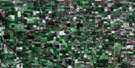
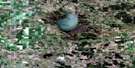
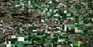
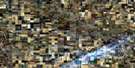
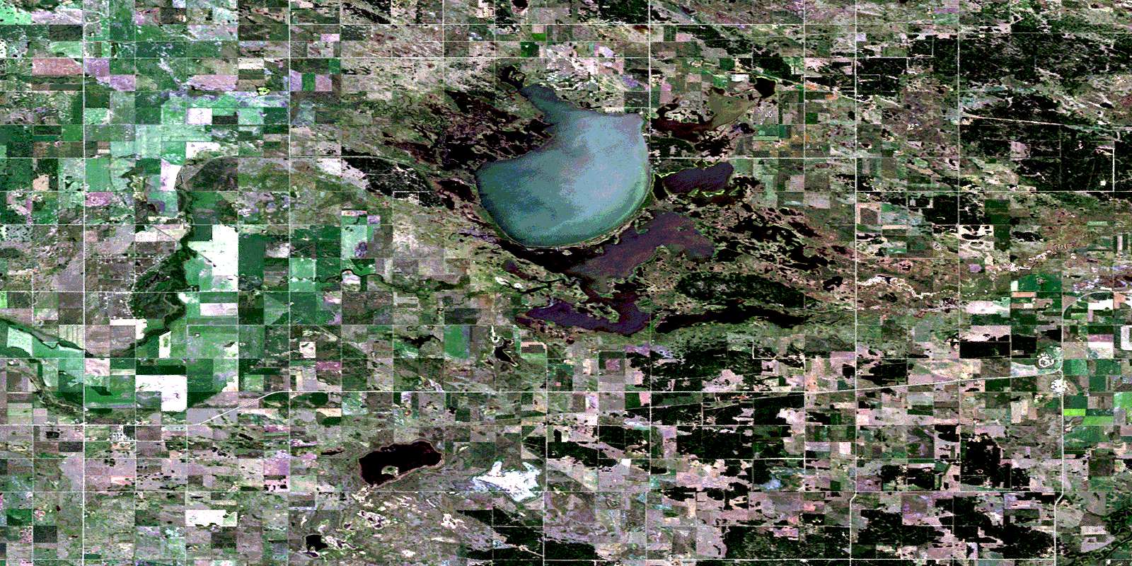
Pipestone Satellite Image Map
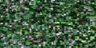
Download Free Aerial Photo 062F10 at 1:50,000 scale
Pipestone Satellite Imagery
To view this satellite map, mouse over the air photo on the right.
You can also download this satellite image map for free:
062F10 Pipestone high-resolution satellite image map.
Maps for the Pipestone aerial map sheet 062F10 at 1:50,000 scale are also available in these versions:
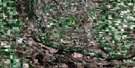
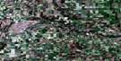
Pipestone Surrounding Area Aerial Photo Maps
 |
 |
 |
 |
 |
 |
 |
 |
 |
 |
 |
 |
 |
 |
 |
 |
© Department of Natural Resources Canada. All rights reserved.
Pipestone Gazetteer
The following places can be found on satellite image map 062F10 Pipestone:
Pipestone Satellite Image: Bays
The ArmPipestone Satellite Image: Capes
Cherry PointPipestone Satellite Image: Forests
Jiggins BluffPipestone Satellite Image: Hydraulic construction
Maple Lake DamOak Lake Dam
Pipestone Creek Diversion
Pipestone Satellite Image: Indian Reserves
Canupawakpa Dakota First NationCanupawakpa Dakota Indian Reserve
Oak Lake 59A
Oak Lake Indian Reserve 59
Réserve indienne Canupawakpa Dakota
Réserve indienne Oak Lake 59
Pipestone Satellite Image: Lakes
Hunters LakeMaple Lake
Marshy Lake
Oak Lake
Plum Lakes
Wardmans Lake
Pipestone Satellite Image: Mountains
Lauder Sand HillsOak Lake Sand Hills
Routledge Sand Hills
Pipestone Satellite Image: Other municipal/district area - miscellaneous
AlbertCameron
Pipestone
Sifton
Pipestone Satellite Image: Conservation areas
Lauder Sandhills Wildlife Management AreaMaple Lake Wildlife Management Area
Oak Lake Canada Goose Refuge
Oak Lake Game Bird Refuge
Oak Lake Provincial Park
Oak Lake Provincial Recreation Park
Oak Lake Special Canada Goose Refuge
Pipestone Satellite Image: Rivers
Bell CreekPipestone Creek
Plum Creek
Souris River
Pipestone Satellite Image: Unincorporated areas
AgnewAlgar
Belleview
Cherry Point
Deleau
Findlay
Findlay Crossing
Grande-Clairière
Maon
Oak Lake Beach
Oak Lake Reserve
Pipestone
Scarth
Pipestone Satellite Image: Low vegetation
Bigelows SloughOak Lake Marsh
© Department of Natural Resources Canada. All rights reserved.
