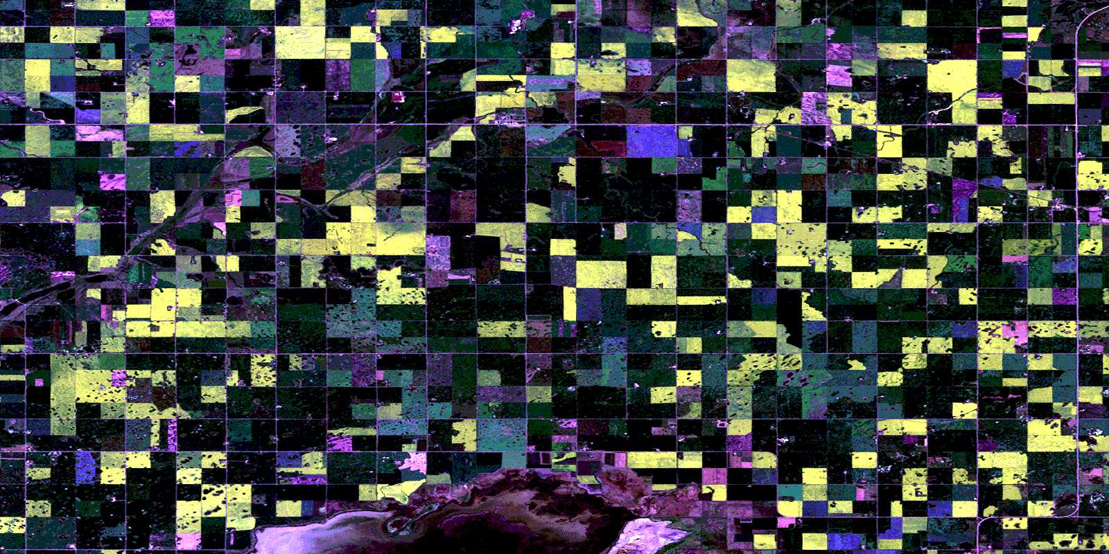
Elgin Satellite Image Map
Download Free Aerial Photo 062F08 at 1:50,000 scale
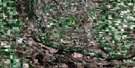
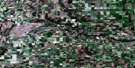
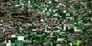
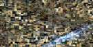
Elgin Satellite Imagery
To view this satellite map, mouse over the air photo on the right.
You can also download this satellite image map for free:
062F08 Elgin high-resolution satellite image map.
Maps for the Elgin aerial map sheet 062F08 at 1:50,000 scale are also available in these versions:
Elgin Surrounding Area Aerial Photo Maps
 |
 |
 |
 |
 |
 |
 |
 |
 |
 |
 |
 |
 |
 |
 |
 |
© Department of Natural Resources Canada. All rights reserved.
Elgin Gazetteer
The following places can be found on satellite image map 062F08 Elgin:
Elgin Satellite Image: Hydraulic construction
Elgin DamElgin Satellite Image: Islands
Sextons IslandElgin Satellite Image: Lakes
Chain LakesElgin Reservoir
Whitewater Lake
Elgin Satellite Image: Other municipal/district area - miscellaneous
CameronMorton
Whitewater
Winchester
Elgin Satellite Image: Conservation areas
Whitewater Lake Wildlife Management AreaElgin Satellite Image: Rivers
Elgin CreekElgin Satellite Image: Shoals
The Sand BarsElgin Satellite Image: Unincorporated areas
AlcesterArgue
Croll
Dand
Elgin
Fairfax
Hathaway
Heaslip
Heaslip Station
Minto
Orthez
Regent
Schaffner
Underhill
© Department of Natural Resources Canada. All rights reserved.
