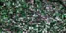
Waskada Satellite Image Map
Download Free Aerial Photo 062F02 at 1:50,000 scale
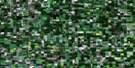
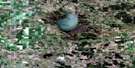
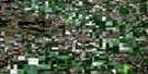
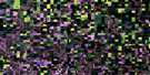
Waskada Satellite Imagery
To view this satellite map, mouse over the air photo on the right.
You can also download this satellite image map for free:
062F02 Waskada high-resolution satellite image map.
Maps for the Waskada aerial map sheet 062F02 at 1:50,000 scale are also available in these versions:
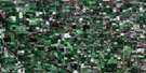
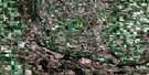
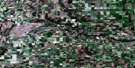
Waskada Surrounding Area Aerial Photo Maps
 |
 |
 |
 |
 |
 |
 |
 |
 |
 |
 |
 |
 |
 |
 |
 |
© Department of Natural Resources Canada. All rights reserved.
Waskada Gazetteer
The following places can be found on satellite image map 062F02 Waskada:
Waskada Satellite Image: Capes
The PeninsulaWaskada Satellite Image: Lakes
Blue LakeWaskada Satellite Image: Mountains
Grumble HillTurtle Mountain
Waskada Satellite Image: Other municipal/district area - miscellaneous
ArthurBrenda
Winchester
Waskada Satellite Image: Provinces
ManitobaWaskada Satellite Image: Rivers
Blind RiverBoundary Creek
East Branch Medora Creek
Medora Creek
Medora Creek
Souris River
Waskada Creek
West Branch Medora Creek
Waskada Satellite Image: Road features
Boundary Commission - N.W.M.P. RouteWaskada Satellite Image: Springs
Hipkins SpringWaskada Satellite Image: Towns
DeloraineWaskada Satellite Image: Unincorporated areas
CoulterCranmer
Dalny
Goodlands
Leighton
Waskada Satellite Image: Valleys
Blind River ValleyWaskada Satellite Image: Low vegetation
Ferguson MeadowGoodlands Marsh
McKillop Meadow
Robinsons Slough
Temples Meadow
Temples Slough
Waskada Satellite Image: Villages
Waskada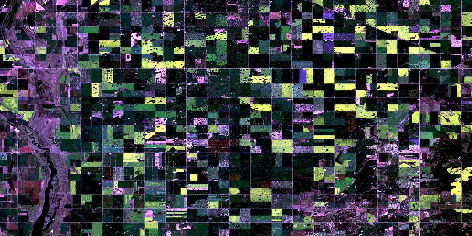
© Department of Natural Resources Canada. All rights reserved.
