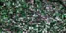
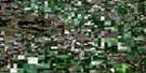
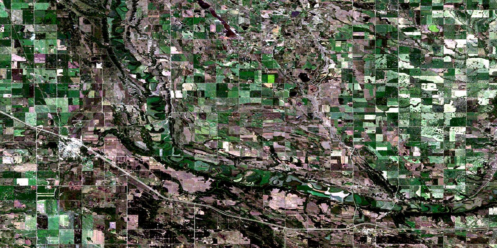
Virden Satellite Image Map
Download Free Aerial Photo 062F15 at 1:50,000 scale
Virden Satellite Imagery
To view this satellite map, mouse over the air photo on the right.
You can also download this satellite image map for free:
062F15 Virden high-resolution satellite image map.
Maps for the Virden aerial map sheet 062F15 at 1:50,000 scale are also available in these versions:
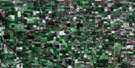
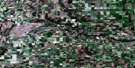
Virden Surrounding Area Aerial Photo Maps
 |
 |
 |
 |
 |
 |
 |
 |
 |
 |
 |
 |
 |
 |
 |
 |
© Department of Natural Resources Canada. All rights reserved.
Virden Gazetteer
The following places can be found on satellite image map 062F15 Virden:
Virden Satellite Image: Hydraulic construction
Kenton DamKenworth Dam
Virden Satellite Image: Indian Reserves
Oak River Indian Reserve 58Réserve indienne Oak River 58
Sioux Valley 58
Sioux Valley Dakota Nation
Virden Satellite Image: Lakes
Cormacks LakeKenton Reservoir
Salt Lake
Whites Lake
Virden Satellite Image: Mountains
Grants HillOak Lake Sand Hills
Routledge Sand Hills
Virden Satellite Image: Other municipal/district area - miscellaneous
PipestoneSifton
Wallace
Woodworth
Virden Satellite Image: Conservation areas
Upper Assiniboine Wildlife Management AreaVirden Satellite Image: Rivers
Assiniboine RiverBaileys Creek
Bosshill Creek
Bosshill Creek
Brierwood Creek
Flat Creek
Gopher Creek
Hales Creek
Little Scallion Creek
Million Dollar Creek
Scallion Creek
Virden Satellite Image: Road features
Harrison BridgeSkinners Bridge
Virden Satellite Image: Springs
Eternal SpringsVirden Satellite Image: Towns
Oak LakeVirden
Virden Satellite Image: Unincorporated areas
HardingHarmsworth
Hillview
Homestead
Kenton
Lenore
Maples
Maskawata
Routledge
Scallion
Sioux Valley
Virden Satellite Image: Low vegetation
Dumbleton SloughGibbings Slough
Hagerman Slough
Hagyard Slough
Hutchison Marsh
Lenore Slough
Sproats Slough
© Department of Natural Resources Canada. All rights reserved.
