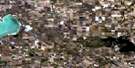
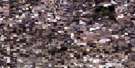
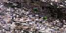
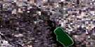
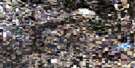
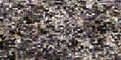
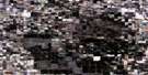
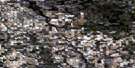
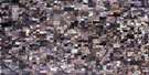
Sheho Satellite Image Map
Download Free Aerial Photo 062M11 at 1:50,000 scale
Sheho Satellite Imagery
To view this satellite map, mouse over the air photo on the right.
You can also download this satellite image map for free:
062M11 Sheho high-resolution satellite image map.
Maps for the Sheho aerial map sheet 062M11 at 1:50,000 scale are also available in these versions:
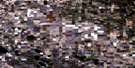
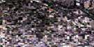
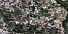
Sheho Surrounding Area Aerial Photo Maps
 |
 |
 |
 |
 |
 |
 |
 |
 |
 |
 |
 |
 |
 |
 |
 |
© Department of Natural Resources Canada. All rights reserved.
Sheho Gazetteer
The following places can be found on satellite image map 062M11 Sheho:
Sheho Satellite Image: Hamlets
InsingerTuffnell
Sheho Satellite Image: Lakes
Bitter LakeDog Lake
Ebel Lake
Echo Lake
Ellinor Lake
Howe Lake
Malyk Lake
Newburn Lake
Salt Lake
Sheho Lake
Silver Lake
Silvery Lake
Woody Lake
Sheho Satellite Image: Other municipal/district area - miscellaneous
Foam Lake No. 276Insinger No. 275
Invermay No. 305
Sheho Satellite Image: Plains
Touchwood UplandsSheho Satellite Image: Rivers
Ebel CreekLawrie Creek
Milligan Creek
Whitesand River
Sheho Satellite Image: Unincorporated areas
GoudieLayco
Netherton
Stonyview
Sheho Satellite Image: Villages
Sheho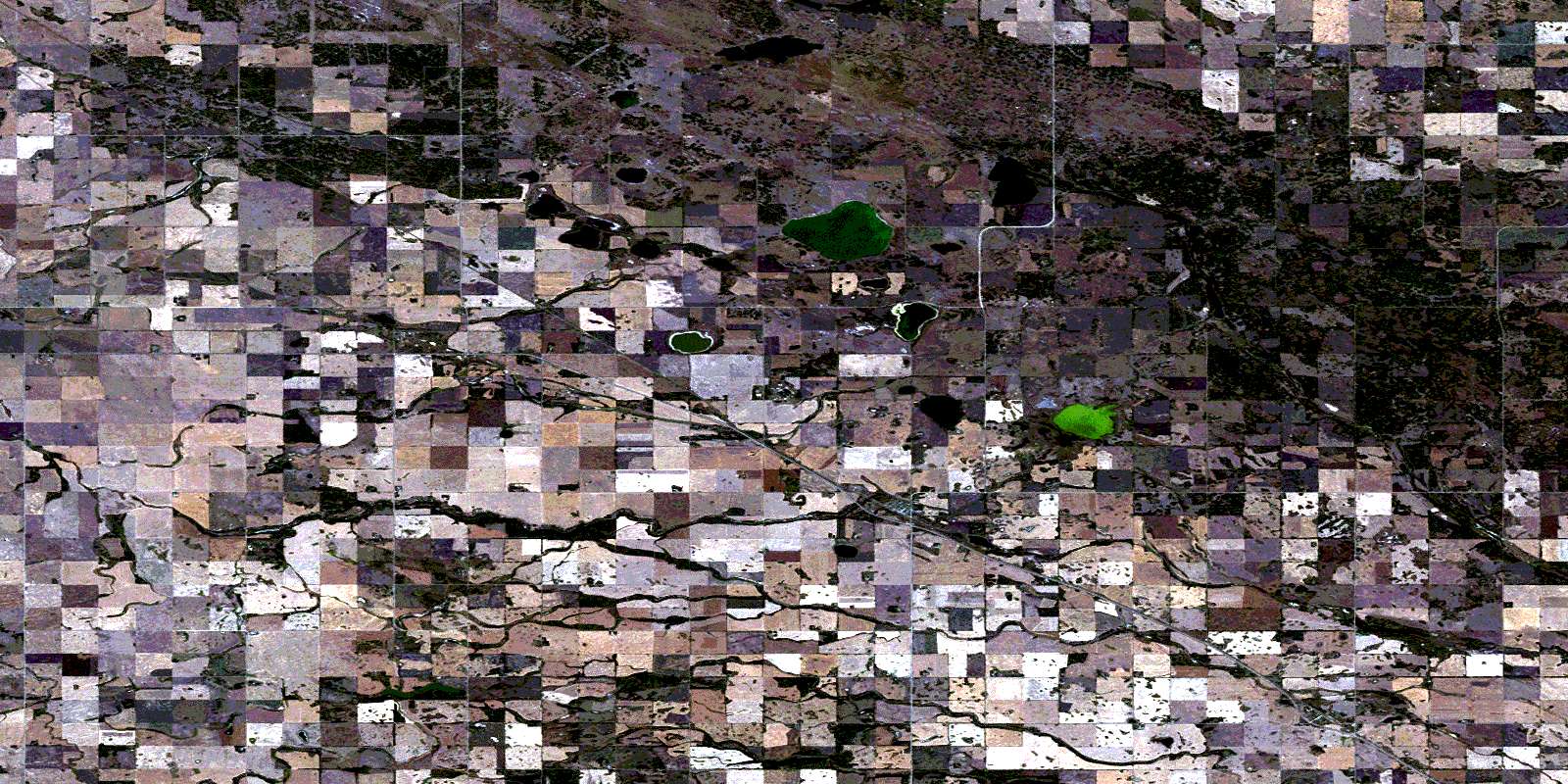
© Department of Natural Resources Canada. All rights reserved.
