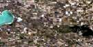
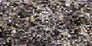
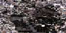
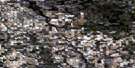
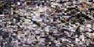
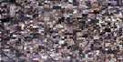
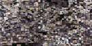
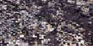
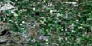
Norquay Satellite Image Map
Download Free Aerial Photo 062M16 at 1:50,000 scale
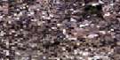
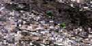
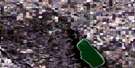
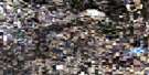
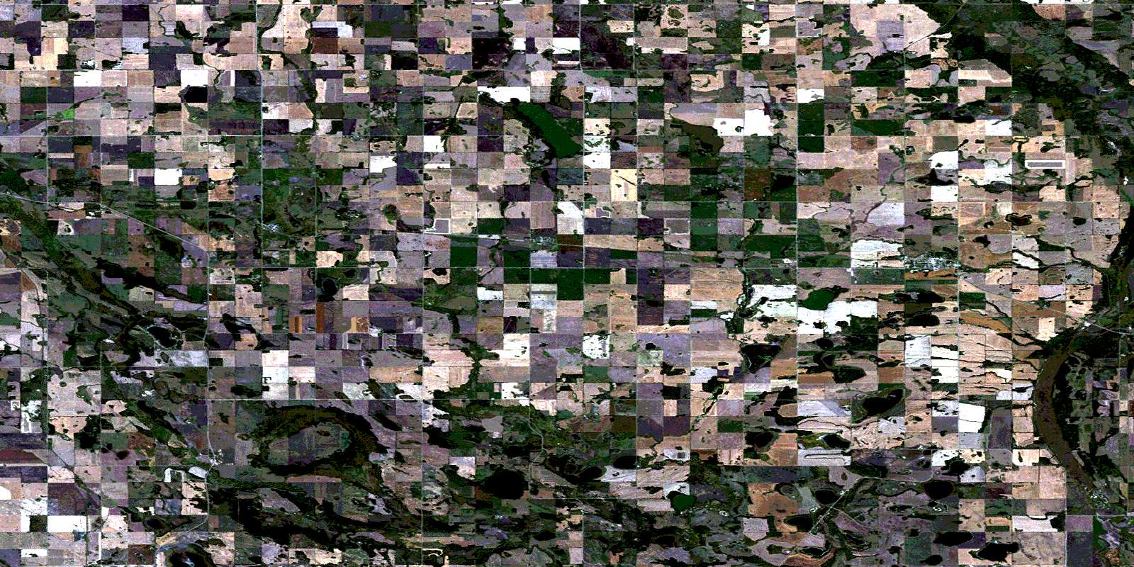
Norquay Satellite Imagery
To view this satellite map, mouse over the air photo on the right.
You can also download this satellite image map for free:
062M16 Norquay high-resolution satellite image map.
Maps for the Norquay aerial map sheet 062M16 at 1:50,000 scale are also available in these versions:
Norquay Surrounding Area Aerial Photo Maps
 |
 |
 |
 |
 |
 |
 |
 |
 |
 |
 |
 |
 |
 |
 |
 |
© Department of Natural Resources Canada. All rights reserved.
Norquay Gazetteer
The following places can be found on satellite image map 062M16 Norquay:
Norquay Satellite Image: Hamlets
Crystal LakeTadmore
Norquay Satellite Image: Indian Reserves
The Key 65Norquay Satellite Image: Lakes
April LakeBeaver Lake
Clark Lake
Coleman Lake
Crystal Lake
Fire Lake
Flat Lake
Frame Lake
Fulton Lake
Gibney Lake
Holm Lake
Horn Lake
May Lake
Mayflower Lake
Mission Lake
Moss Lake
Outarde Lake
Red Lake
Stanley Lake
Witouche Lake
Norquay Satellite Image: Mountains
Poplar HillNorquay Satellite Image: Other municipal/district area - miscellaneous
Buchanan No. 304Clayton No. 333
Keys No. 303
Livingston No. 331
Preeceville No. 334
St. Philips No. 301
Norquay Satellite Image: Conservation areas
Fort Pelly #1 Historic SiteNorquay Satellite Image: Rivers
Assiniboine RiverBelleau Brook
Spruce Creek
Stony Creek
Norquay Satellite Image: River features
Assiniboine ElbowNorquay Satellite Image: Towns
NorquayNorquay Satellite Image: Unincorporated areas
Fort PellyHassan
Moss Lake
Tadmor
Norquay Satellite Image: Villages
HyasStenen
© Department of Natural Resources Canada. All rights reserved.
