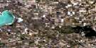
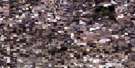
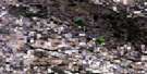
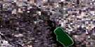
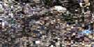
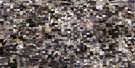
Preeceville Satellite Image Map
Download Free Aerial Photo 062M15 at 1:50,000 scale
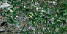
Preeceville Satellite Imagery
To view this satellite map, mouse over the air photo on the right.
You can also download this satellite image map for free:
062M15 Preeceville high-resolution satellite image map.
Maps for the Preeceville aerial map sheet 062M15 at 1:50,000 scale are also available in these versions:
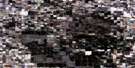
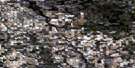
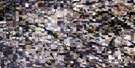
Preeceville Surrounding Area Aerial Photo Maps
 |
 |
 |
 |
 |
 |
 |
 |
 |
 |
 |
 |
 |
 |
 |
 |
© Department of Natural Resources Canada. All rights reserved.
Preeceville Gazetteer
The following places can be found on satellite image map 062M15 Preeceville:
Preeceville Satellite Image: Hamlets
Hazel DellKetchen
Preeceville Satellite Image: Lakes
Annie Laurie LakeLoch Lomond
May Lake
Mud Lake
Preeceville Satellite Image: Other municipal/district area - miscellaneous
Buchanan No. 304Hazel Dell No. 335
Invermay No. 305
Preeceville No. 334
Preeceville Satellite Image: Conservation areas
Sturgis and District Regional Park (Site 1)Preeceville Satellite Image: Rivers
Assiniboine RiverConjuring Creek
Crooked Hill Creek
Horse Creek
Kop Creek
Lilian River
Robinson Creek
Spirit Creek
Preeceville Satellite Image: Towns
PreecevilleSturgis
Preeceville Satellite Image: Unincorporated areas
Lone SpruceMitchellview
Preeceville Satellite Image: Villages
Rama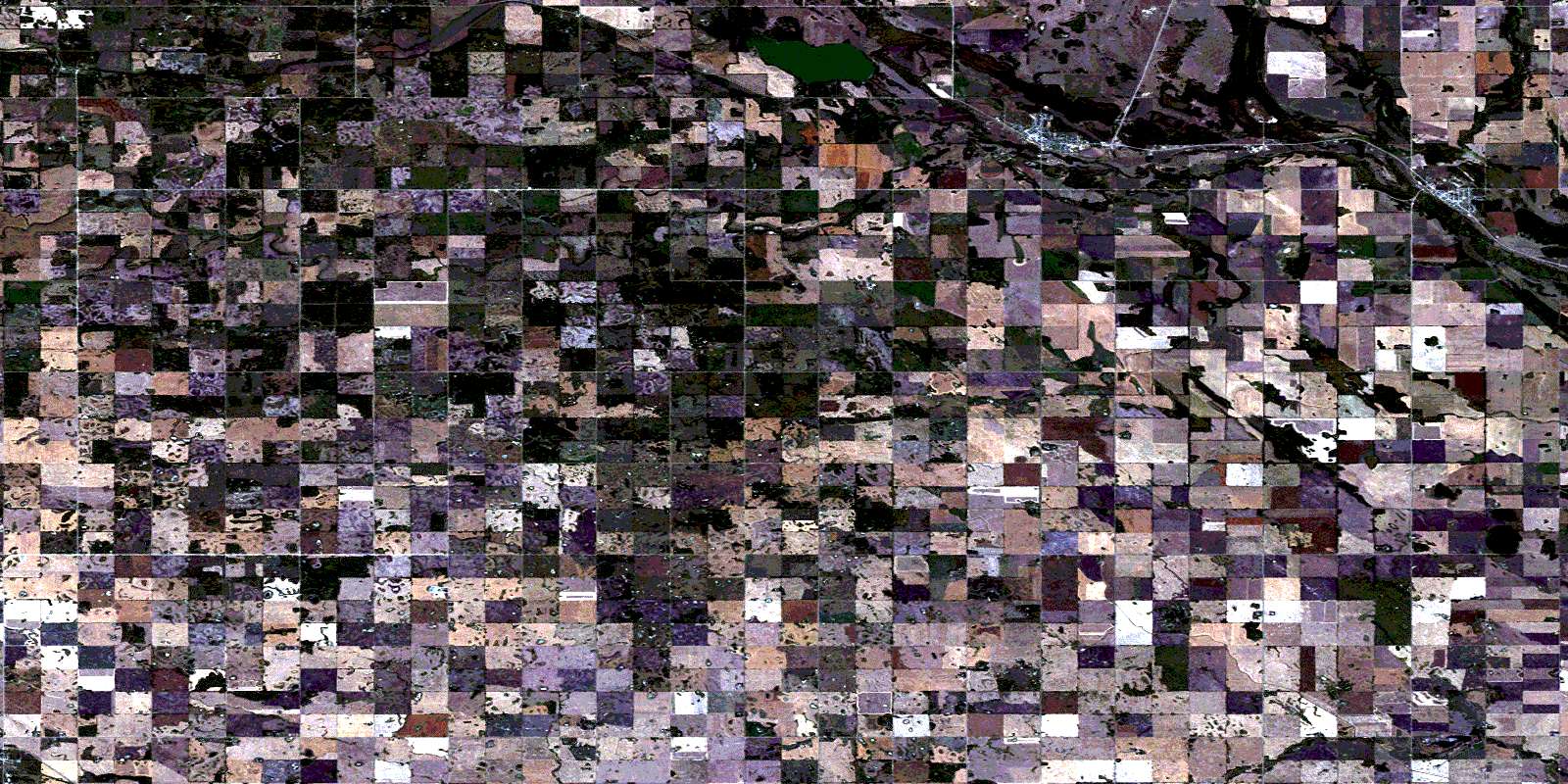
© Department of Natural Resources Canada. All rights reserved.
