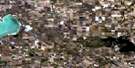
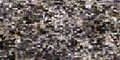
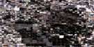
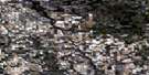
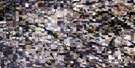
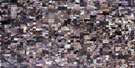
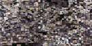
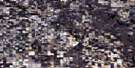
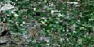
Rhein Satellite Image Map
Download Free Aerial Photo 062M08 at 1:50,000 scale
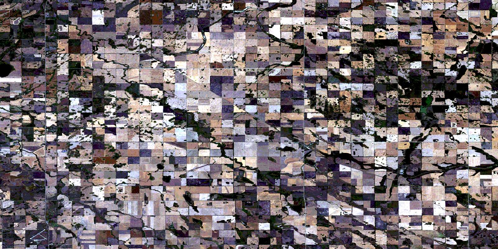
Rhein Satellite Imagery
To view this satellite map, mouse over the air photo on the right.
You can also download this satellite image map for free:
062M08 Rhein high-resolution satellite image map.
Maps for the Rhein aerial map sheet 062M08 at 1:50,000 scale are also available in these versions:
Rhein Surrounding Area Aerial Photo Maps
 |
 |
 |
 |
 |
 |
 |
 |
 |
 |
 |
 |
 |
 |
 |
 |
© Department of Natural Resources Canada. All rights reserved.
Rhein Gazetteer
The following places can be found on satellite image map 062M08 Rhein:
Rhein Satellite Image: Hamlets
StornowayRhein Satellite Image: Lakes
Birch Island LakesMcOuat Lake
Rhein Lake
Rhein Satellite Image: Other municipal/district area - miscellaneous
Calder No. 241Cote No. 271
Good Lake No. 274
Orkney No. 244
Sliding Hills No. 273
Wallace No. 243
Rhein Satellite Image: Rivers
Kamsack CreekStony Creek
Wallace Creek
Whitesand River
Yorkton Creek
Rhein Satellite Image: Unincorporated areas
DneiperGorlitz
Hamton
Mehan
Playmore
Pollock
Young Siding
Rhein Satellite Image: Villages
EbenezerRhein
© Department of Natural Resources Canada. All rights reserved.
