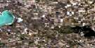
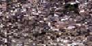
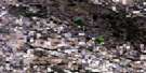
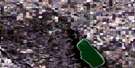
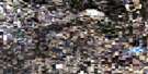
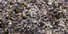
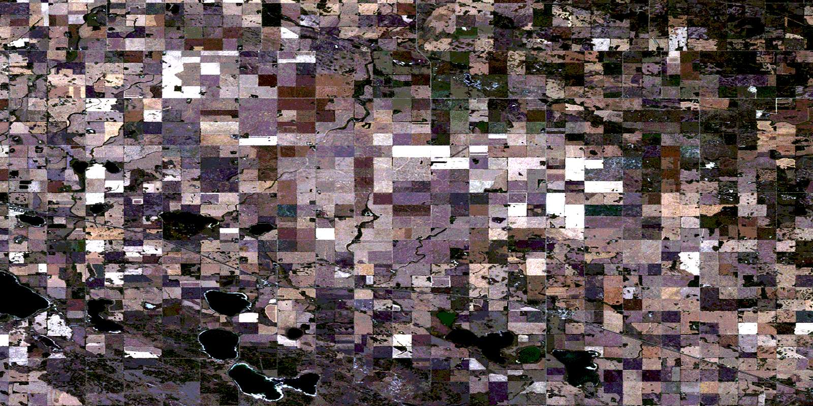
Margo Satellite Image Map
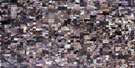
Download Free Aerial Photo 062M14 at 1:50,000 scale
Margo Satellite Imagery
To view this satellite map, mouse over the air photo on the right.
You can also download this satellite image map for free:
062M14 Margo high-resolution satellite image map.
Maps for the Margo aerial map sheet 062M14 at 1:50,000 scale are also available in these versions:
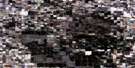
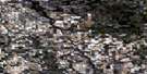
Margo Surrounding Area Aerial Photo Maps
 |
 |
 |
 |
 |
 |
 |
 |
 |
 |
 |
 |
 |
 |
 |
 |
© Department of Natural Resources Canada. All rights reserved.
Margo Gazetteer
The following places can be found on satellite image map 062M14 Margo:
Margo Satellite Image: Hamlets
KurokiOttman - Murray Beach
Margo Satellite Image: Lakes
Fishing LakeHazel Lake
Hedley Lake
Hendrickson Lake
Lac au Radeau
Leland Lake
Margo Lake
Pig Lake
Sakwasew Lake
Saline Lake
Silver Lake
Stonewall Lake
Usinneskaw Lake
Whitesand Lake
Margo Satellite Image: Other municipal/district area - miscellaneous
Foam Lake No. 276Hazel Dell No. 335
Invermay No. 305
Sasman No. 336
Margo Satellite Image: Conservation areas
Fishing Lake Regional Park (KC Beach)Margo Recreation Site
Margo Satellite Image: Rivers
Conjuring CreekMargo Satellite Image: Unincorporated areas
Lone SpruceMargo Satellite Image: Villages
InvermayMargo
Rama
© Department of Natural Resources Canada. All rights reserved.
