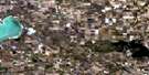
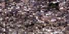
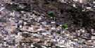
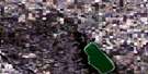
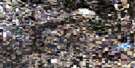
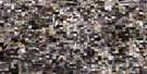
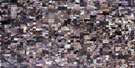
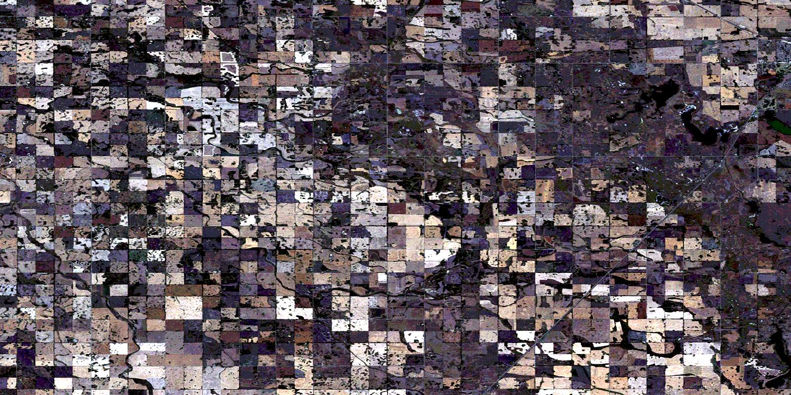
Willowbrook Satellite Image Map
Download Free Aerial Photo 062M02 at 1:50,000 scale
Willowbrook Satellite Imagery
To view this satellite map, mouse over the air photo on the right.
You can also download this satellite image map for free:
062M02 Willowbrook high-resolution satellite image map.
Maps for the Willowbrook aerial map sheet 062M02 at 1:50,000 scale are also available in these versions:
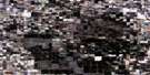
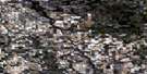
Willowbrook Surrounding Area Aerial Photo Maps
 |
 |
 |
 |
 |
 |
 |
 |
 |
 |
 |
 |
 |
 |
 |
 |
© Department of Natural Resources Canada. All rights reserved.
Willowbrook Gazetteer
The following places can be found on satellite image map 062M02 Willowbrook:
Willowbrook Satellite Image: City
YorktonWillowbrook Satellite Image: Hamlets
OtthonWillowbrook
Willowbrook Satellite Image: Lakes
Crescent LakeRousay Lake
York Lake
Willowbrook Satellite Image: Other municipal/district area - miscellaneous
Cana No. 214Garry No. 245
Orkney No. 244
Stanley No. 215
Willowbrook Satellite Image: Conservation areas
Refuge d'oiseaux du lac Upper-RousayUpper Rousay Lake Bird Sanctuary
Upper Rousay Lake Game Preserve
York Lake Regional Park
Willowbrook Satellite Image: Rivers
Crescent CreekKaposvar Creek
Sorefoot Creek
Willow Brook
Willowbrook Satellite Image: Unincorporated areas
Beaver DaleDracup
Enfin
Fonehill
McKim
Plain View
Rock Dell
Vanstone
© Department of Natural Resources Canada. All rights reserved.
