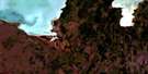
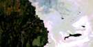
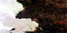
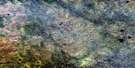
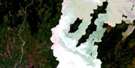
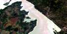
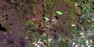
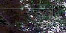
Pine Dock Satellite Image Map
Download Free Aerial Photo 062P10 at 1:50,000 scale
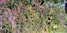
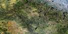
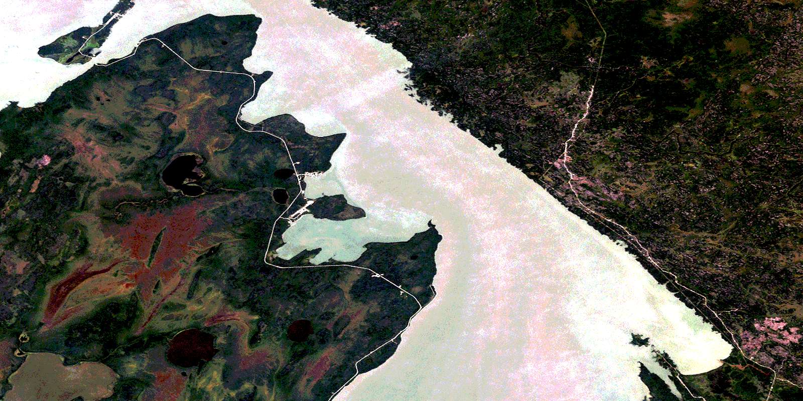
Pine Dock Satellite Imagery
To view this satellite map, mouse over the air photo on the right.
You can also download this satellite image map for free:
062P10 Pine Dock high-resolution satellite image map.
Maps for the Pine Dock aerial map sheet 062P10 at 1:50,000 scale are also available in these versions:
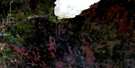
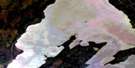
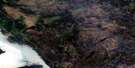
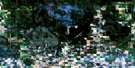
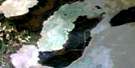
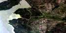
Pine Dock Surrounding Area Aerial Photo Maps
 |
 |
 |
 |
 |
 |
 |
 |
 |
 |
 |
 |
 |
 |
 |
 |
© Department of Natural Resources Canada. All rights reserved.
Pine Dock Gazetteer
The following places can be found on satellite image map 062P10 Pine Dock:
Pine Dock Satellite Image: Bays
Big Bullhead BayBiscuit Harbour
Biscuit Harbour
Granite Quarry Cove
Jackpine Bay
Little Bullhead Bay
Loon Bay
Monkman Bay
South Bay
Stefansons Bay
Pine Dock Satellite Image: Capes
Baldheaded PointBig Bullhead Point
Biscuit Point
Biscuit Point
Bull Head
Bushy Point
Limestone Cave Point
Little Bullhead Point
Little Doghead Point
Mindys Point
North Barneys Point
West Doghead Point
Whiteway Point
Pine Dock Satellite Image: Channels
Loon StraitLoon Straits
The Narrows
Pine Dock Satellite Image: Indian Reserves
Bloodvein 12Pine Dock Satellite Image: Islands
Kasakeemeenisekak IslandsMatheson Island
Monkman Island
Pine Dock Satellite Image: Lakes
Bills LakeDaves Lake
Deer Lake
Ebb and Flow Lake
Harrys Lake
Jackson Lake
Lac Winnipeg
Lake Winnipeg
Little Deer Lake
Moose Lake
Pine Dock Satellite Image: Mountains
Gladstone HeightsPine Dock Satellite Image: Conservation areas
Atikaki Provincial ParkAtikaki Provincial Wilderness Park
Chief George Barker Wildlife Refuge
Moose Creek Provincial Forest
Moose Creek Wildlife Management Area
Pine Dock Satellite Image: Rapids
Akeeko RapidsKaokonapeekeekewonk Rapids
Kasooskwapeekechewonk Rapids
Meekisiwi Rapids
Namay Rapids
Pine Dock Satellite Image: Rivers
Bloodvein RiverCaterpillar Creek
Kaneeshotekwayak Creek
Loon Creek
Pakasekan Creek
Pine Dock Satellite Image: Unincorporated areas
BullheadCalders Dock
Leaside Beach
Little Bullhead
Little Bullhead
Loon Straits
Matheson Island
Pine Dock
© Department of Natural Resources Canada. All rights reserved.
062P Related Maps:
062P Hecla062P01 English Brook
062P02 Gull Harbour
062P03 Shorncliffe
062P04 Hodgson
062P05 Harwill
062P06 Fisher River
062P07 Anderson Point
062P08 Shallow Lake
062P09 Minago Creek
062P10 Pine Dock
062P11 Lake St Andrew
062P12 Howe Lake
062P13 Poplar Point
062P14 Jackhead
062P15 Princess Harbour
062P16 Magnusson Lake
