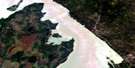
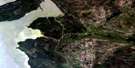
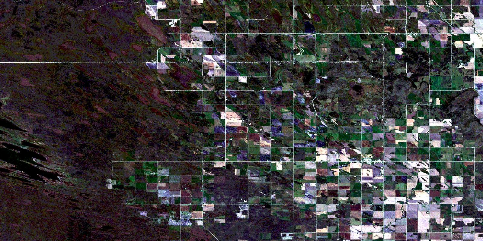
Hodgson Satellite Image Map
Download Free Aerial Photo 062P04 at 1:50,000 scale
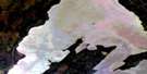
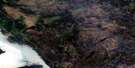
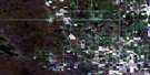
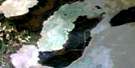
Hodgson Satellite Imagery
To view this satellite map, mouse over the air photo on the right.
You can also download this satellite image map for free:
062P04 Hodgson high-resolution satellite image map.
Maps for the Hodgson aerial map sheet 062P04 at 1:50,000 scale are also available in these versions:
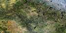
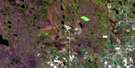
Hodgson Surrounding Area Aerial Photo Maps
 |
 |
 |
 |
 |
 |
 |
 |
 |
 |
 |
 |
 |
 |
 |
 |
© Department of Natural Resources Canada. All rights reserved.
Hodgson Gazetteer
The following places can be found on satellite image map 062P04 Hodgson:
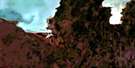
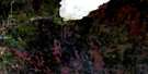
Hodgson Satellite Image: Hydraulic construction
Broad Valley DrainDumoulin Drain
Hodgson Drain
Kilkenny Drain
Leroy Drain
Meridian Drain
Plishka Drain
Rus Drain
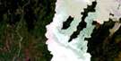
Hodgson Satellite Image: Indian Reserves
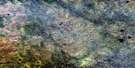
Peguis 1BHodgson Satellite Image: Lakes
Big Rock LakeIzzards Lake
Roys Lake
Sleeve Lake
Hodgson Satellite Image: Mountains
Marble RidgeHodgson Satellite Image: Other municipal/district area - miscellaneous
FisherGrahamdale
Hodgson Satellite Image: Conservation areas
Broad Valley Wildlife Management AreaLittle Birch Wildlife Management Area
Mantagao Lake Wildlife Management Area
Roy Lake Game Bird Refuge
Sleeve Lake Game Bird Refuge
Sleeve Lake Wildlife Management Area
Hodgson Satellite Image: Rivers
Blind CreekBottle Creek
East Fisher River
Fisher River
Switzer Creek
Hodgson Satellite Image: Unincorporated areas
Fisher BranchFisherton
Hodgson
Kilkenny
Scotland Farm
© Department of Natural Resources Canada. All rights reserved.
062P Related Maps:
062P Hecla062P01 English Brook
062P02 Gull Harbour
062P03 Shorncliffe
062P04 Hodgson
062P05 Harwill
062P06 Fisher River
062P07 Anderson Point
062P08 Shallow Lake
062P09 Minago Creek
062P10 Pine Dock
062P11 Lake St Andrew
062P12 Howe Lake
062P13 Poplar Point
062P14 Jackhead
062P15 Princess Harbour
062P16 Magnusson Lake
