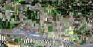
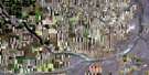
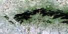
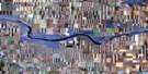
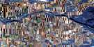
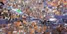
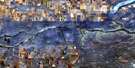
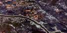
Coutts Satellite Image Map
Download Free Aerial Photo 072E04 at 1:50,000 scale
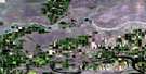
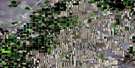
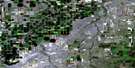
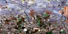
Coutts Satellite Imagery
To view this satellite map, mouse over the air photo on the right.
You can also download this satellite image map for free:
072E04 Coutts high-resolution satellite image map.
Maps for the Coutts aerial map sheet 072E04 at 1:50,000 scale are also available in these versions:
Coutts Surrounding Area Aerial Photo Maps
 |
 |
 |
 |
 |
 |
 |
 |
 |
 |
 |
 |
 |
 |
 |
 |
© Department of Natural Resources Canada. All rights reserved.
Coutts Gazetteer
The following places can be found on satellite image map 072E04 Coutts:
Coutts Satellite Image: Lakes
Heningers ReservoirVerdigris Lake
Coutts Satellite Image: Major municipal/district area - major agglomerations
County of Warner No. 5Coutts Satellite Image: Conservation areas
Writing-On-Stone Provincial ParkCoutts Satellite Image: Provinces
AlbertaCoutts Satellite Image: Rivers
Deer CreekDickinson Creek
Macdonald Creek
Milk River
Police Creek
Red Creek
Coutts Satellite Image: Unincorporated areas
AllerstonKippenville
Masinasin
St. Kilda
Coutts Satellite Image: Valleys
Black CouleeRamsay Coulee
Van Cleeve Coulée
Verdigris Coulee
Verdigris Coulée
Coutts Satellite Image: Villages
Coutts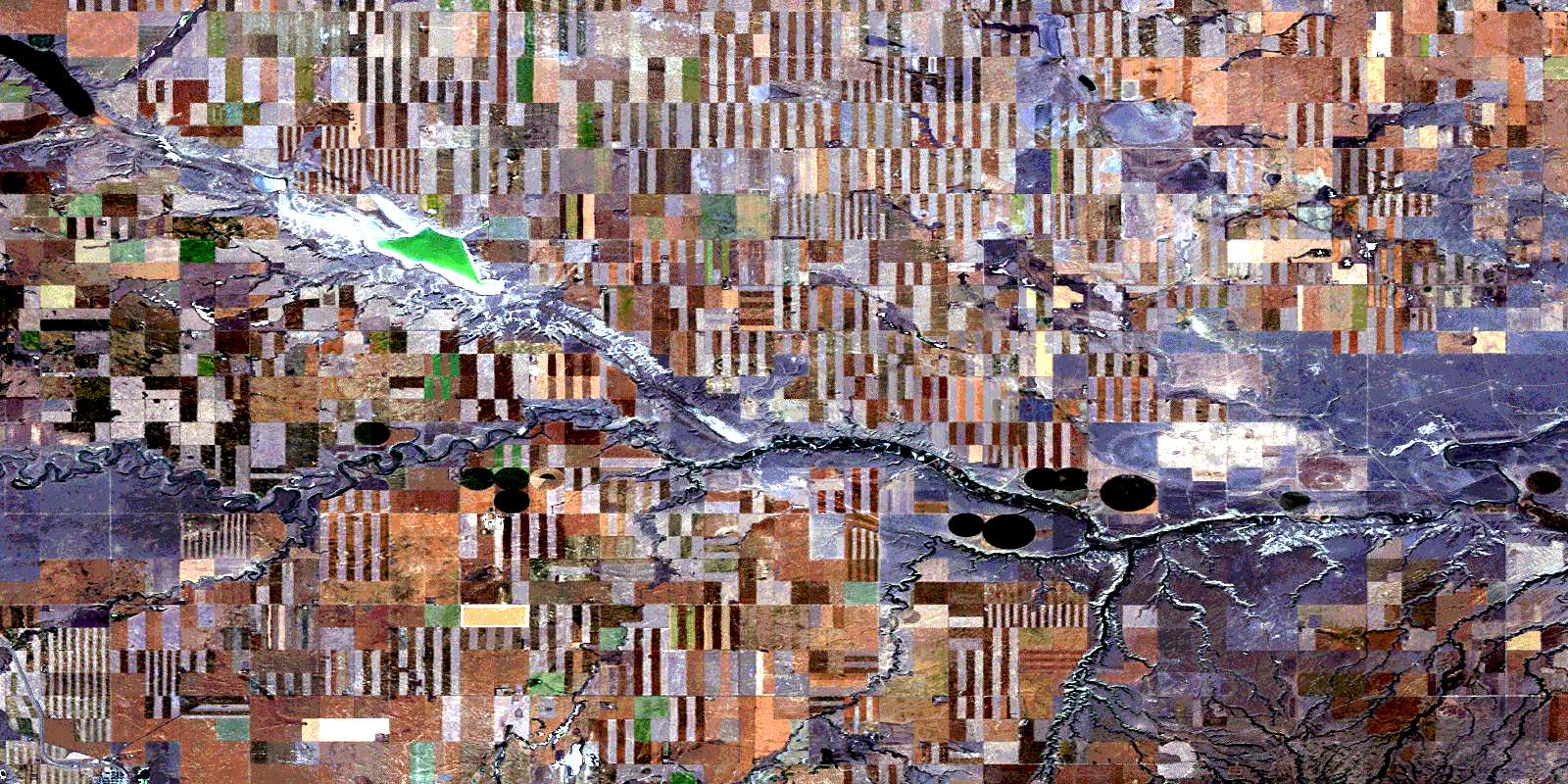
© Department of Natural Resources Canada. All rights reserved.
