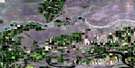
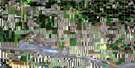
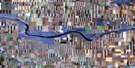
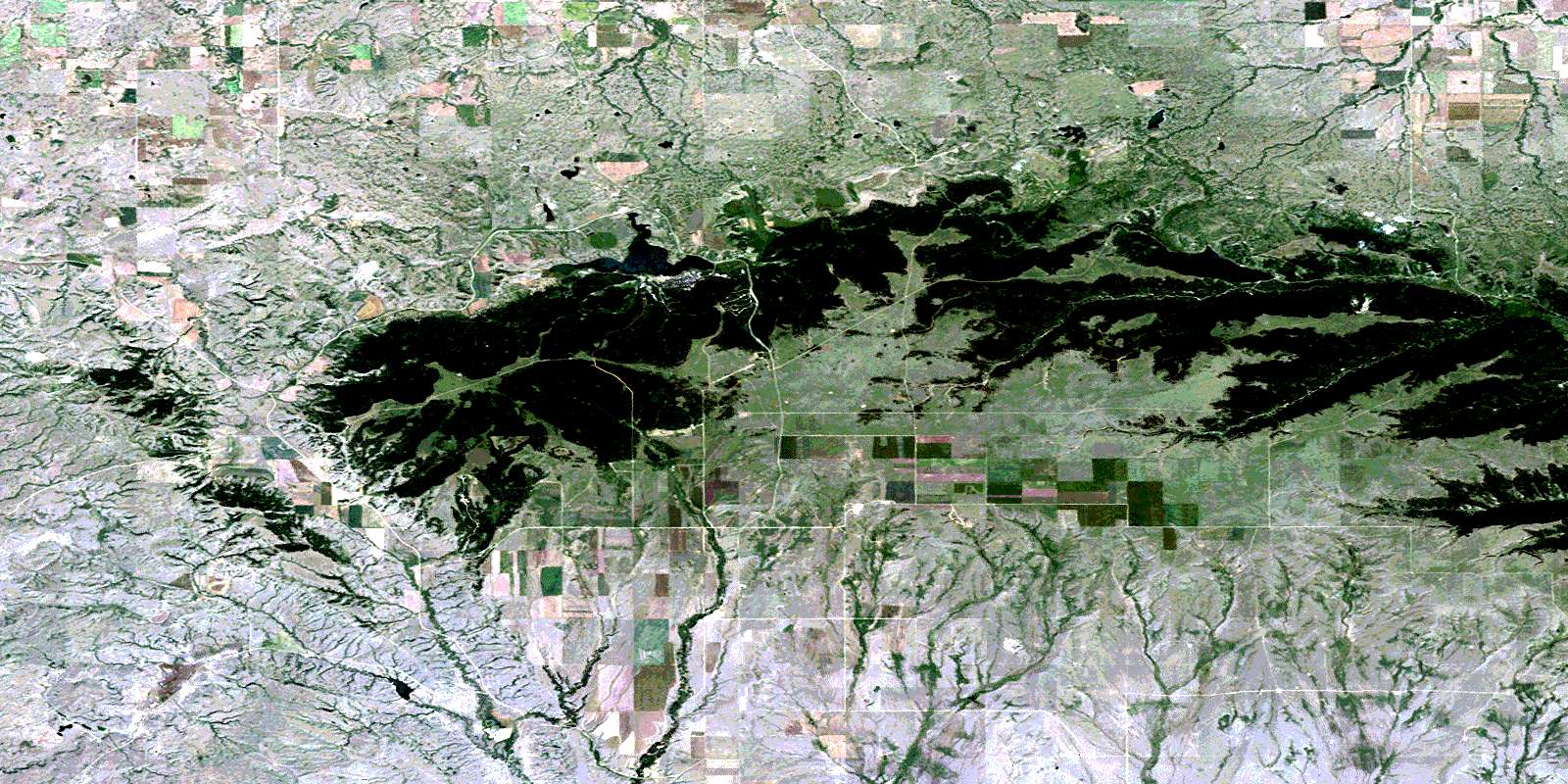
Elkwater Lake Satellite Image Map
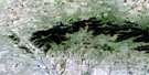
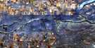
Download Free Aerial Photo 072E09 at 1:50,000 scale
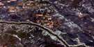
Elkwater Lake Satellite Imagery
To view this satellite map, mouse over the air photo on the right.
You can also download this satellite image map for free:
072E09 Elkwater Lake high-resolution satellite image map.
Maps for the Elkwater Lake aerial map sheet 072E09 at 1:50,000 scale are also available in these versions:
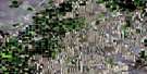
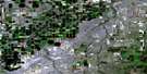
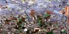
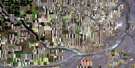
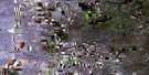
Elkwater Lake Surrounding Area Aerial Photo Maps
 |
 |
 |
 |
 |
 |
 |
 |
 |
 |
 |
 |
 |
 |
 |
 |
© Department of Natural Resources Canada. All rights reserved.
Elkwater Lake Gazetteer
The following places can be found on satellite image map 072E09 Elkwater Lake:
Elkwater Lake Satellite Image: Lakes
Elkwater LakeFly Lake
Michel Reservoir
Reesor Lake
Spruce Coulee Reservoir
Elkwater Lake Satellite Image: Mountains
Cypress HillsCypress Hills
Elkwater Lake Satellite Image: Major municipal/district area - major agglomerations
Municipal District of CypressMunicipal District of Cypress No. 1
Elkwater Lake Satellite Image: Conservation areas
Cypress Hills Interprovincial ParkCypress Hills Provincial Forest
Cypress Hills Provincial Park
Elkwater Lake Satellite Image: Provinces
AlbertaElkwater Lake Satellite Image: Rivers
Battle CreekBattle Creek
Bullshead Creek
Graburn Creek
Grant Creek
Gros Ventre Creek
Lodge Creek
Lodge Creek
Mackay Creek
Manyberries Creek
McAlpine Creek
Middle Creek
Nine Mile Creek
Nine Mile Creek
Peigan Creek
Read Creek
Ross Creek
Sexton Creek
Thelma Creek
Elkwater Lake Satellite Image: Unincorporated areas
Eagle ButteElkwater
Fox
Thelma
Tothill
Elkwater Lake Satellite Image: Valleys
Delmas CouleeDempster Coulee
Medicine Lodge Coulee
© Department of Natural Resources Canada. All rights reserved.
