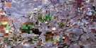
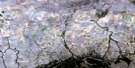
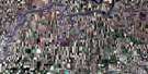
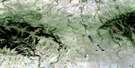
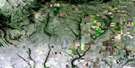
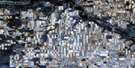
Consul Satellite Image Map
Download Free Aerial Photo 072F05 at 1:50,000 scale
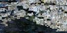
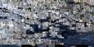
Consul Satellite Imagery
To view this satellite map, mouse over the air photo on the right.
You can also download this satellite image map for free:
072F05 Consul high-resolution satellite image map.
Maps for the Consul aerial map sheet 072F05 at 1:50,000 scale are also available in these versions:
Consul Surrounding Area Aerial Photo Maps
 |
 |
 |
 |
 |
 |
 |
 |
 |
 |
 |
 |
 |
 |
 |
 |
© Department of Natural Resources Canada. All rights reserved.
Consul Gazetteer
The following places can be found on satellite image map 072F05 Consul:
Consul Satellite Image: Lakes
Cypress LakeMiddle Creek Reservoir
Consul Satellite Image: Mountains
Cypress HillsConsul Satellite Image: Other municipal/district area - miscellaneous
Reno No. 51Consul Satellite Image: Conservation areas
Cypress Lake Recreation SiteConsul Satellite Image: Rivers
Adams CreekBattle Creek
Middle Creek
Oxarart Creek
Oxarat Creek
Patterson Creek
Underdahl Creek
Consul Satellite Image: Unincorporated areas
Battle CreekMerryflat
Notukeu
Oxarat
Senate
West Plains
Consul Satellite Image: Valleys
Kwaskwuti CouleeThomas Coulee
Wright Coulee
Wylie Coulee
Zeigler Coulee
Consul Satellite Image: Villages
Consul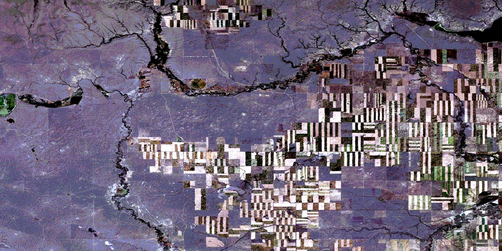
© Department of Natural Resources Canada. All rights reserved.
072F Related Maps:
072F Cypress Lake072F01 Climax
072F02 Frontier
072F03 Lyons Creek
072F04 Willow Creek
072F05 Consul
072F06 Ravenscrag
072F07 Eastbrook Coulee
072F08 Badland Lake
072F09 Shaunavon
072F10 Dollard
072F11 Fairwell Creek
072F12 Hungerford Lakes
072F13 Kincorth
072F14 Maple Creek
072F15 Skull Creek
072F16 Simmie
