Simmie Satellite Image Map
Download Free Aerial Photo 072F16 at 1:50,000 scale
Simmie Satellite Imagery
To view this satellite map, mouse over the air photo on the right.
You can also download this satellite image map for free:
072F16 Simmie high-resolution satellite image map.
Maps for the Simmie aerial map sheet 072F16 at 1:50,000 scale are also available in these versions:
Simmie Surrounding Area Aerial Photo Maps
 |
 |
 |
 |
 |
 |
 |
 |
 |
 |
 |
 |
 |
 |
 |
 |
© Department of Natural Resources Canada. All rights reserved.
Simmie Gazetteer
The following places can be found on satellite image map 072F16 Simmie:
Simmie Satellite Image: Bays
Ferguson BaySimmie Satellite Image: Hamlets
SimmieSimmie Satellite Image: Lakes
Notukeu LakeReid Lake
Simmie Satellite Image: Other municipal/district area - miscellaneous
Arlington No. 79Bone Creek No. 108
Carmichael No. 109
Lac Pelletier No. 107
Webb No. 138
Wise Creek No. 77
Simmie Satellite Image: Conservation areas
Duncairn Reservoir Bird SanctuaryRefuge d'oiseaux de Duncairn Reservoir
Simmie Satellite Image: Rivers
Fleming CreekRock Creek
Swift Current Creek
Simmie Satellite Image: Unincorporated areas
Illerbrun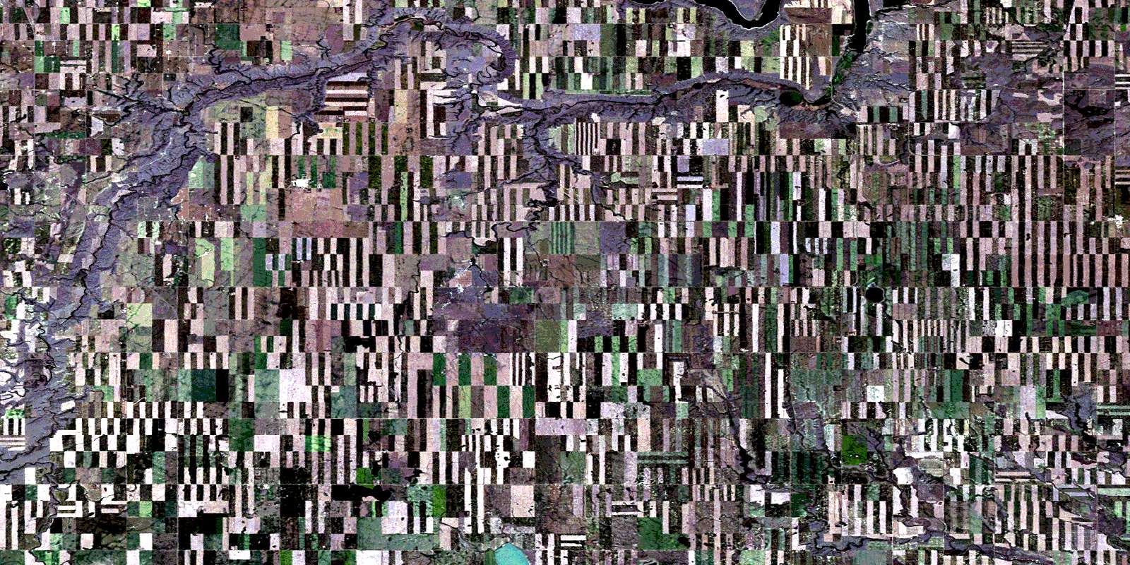
© Department of Natural Resources Canada. All rights reserved.
072F Related Maps:
072F Cypress Lake072F01 Climax
072F02 Frontier
072F03 Lyons Creek
072F04 Willow Creek
072F05 Consul
072F06 Ravenscrag
072F07 Eastbrook Coulee
072F08 Badland Lake
072F09 Shaunavon
072F10 Dollard
072F11 Fairwell Creek
072F12 Hungerford Lakes
072F13 Kincorth
072F14 Maple Creek
072F15 Skull Creek
072F16 Simmie
