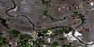
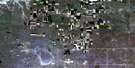
Wardlow Satellite Image Map
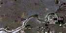
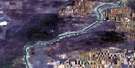
Download Free Aerial Photo 072L13 at 1:50,000 scale
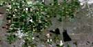
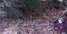
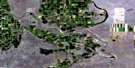
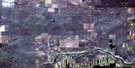
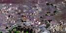
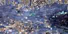
Wardlow Satellite Imagery
To view this satellite map, mouse over the air photo on the right.
You can also download this satellite image map for free:
072L13 Wardlow high-resolution satellite image map.
Maps for the Wardlow aerial map sheet 072L13 at 1:50,000 scale are also available in these versions:
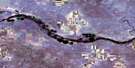
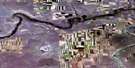
Wardlow Surrounding Area Aerial Photo Maps
 |
 |
 |
 |
 |
 |
 |
 |
 |
 |
 |
 |
 |
 |
 |
 |
© Department of Natural Resources Canada. All rights reserved.
Wardlow Gazetteer
The following places can be found on satellite image map 072L13 Wardlow:
Wardlow Satellite Image: Lakes
Forster ReservoirWardlow Satellite Image: Mountains
Hunting HillWardlow Satellite Image: Major municipal/district area - major agglomerations
County of Newell No. 4Wardlow Satellite Image: Other municipal/district area - miscellaneous
Special Area No. 2Wardlow Satellite Image: Conservation areas
Dinosaur Provincial ParkDinosaur Provincial Park World Heritage Site
Site du patrimoine mondial du Parc provincial Dinosaur
Wardlow Satellite Image: Rivers
Berry CreekDeadfish Creek
Douglas Creek
East Berry Creek
Little Sandhill Creek
Matzhiwin Creek
Onetree Creek
Red Deer River
Wardlow Satellite Image: Unincorporated areas
StevevilleVerger
Wardlow
Wardlow Satellite Image: Valleys
Deadlodge Canyon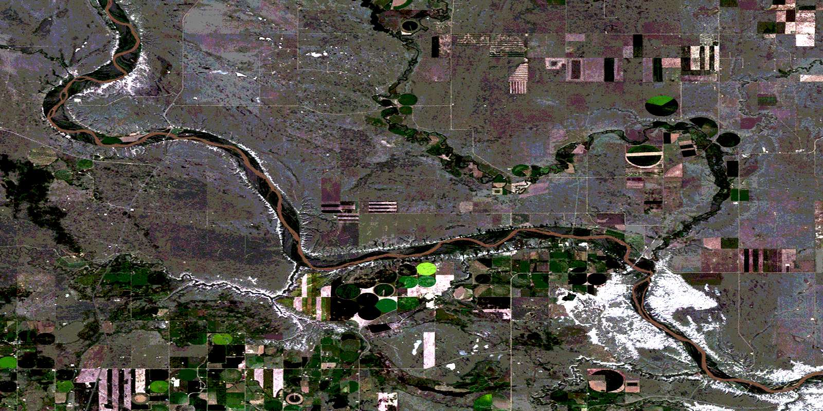
© Department of Natural Resources Canada. All rights reserved.
