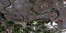
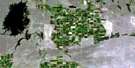
Brooks Satellite Image Map
Download Free Aerial Photo 072L12 at 1:50,000 scale
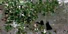
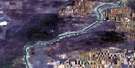
Brooks Satellite Imagery
To view this satellite map, mouse over the air photo on the right.
You can also download this satellite image map for free:
072L12 Brooks high-resolution satellite image map.
Maps for the Brooks aerial map sheet 072L12 at 1:50,000 scale are also available in these versions:
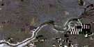
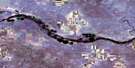
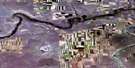
Brooks Surrounding Area Aerial Photo Maps
 |
 |
 |
 |
 |
 |
 |
 |
 |
 |
 |
 |
 |
 |
 |
 |
© Department of Natural Resources Canada. All rights reserved.
Brooks Gazetteer
The following places can be found on satellite image map 072L12 Brooks:
Brooks Satellite Image: City
BrooksBrooks Satellite Image: Lakes
Cowoki LakeCutting Lake
Jamieson Lake
Johnson Lake
Lake Newell
Louisiana Lakes
Onetree Reservoir
Rock Lake
Stafford Lake
Brooks Satellite Image: Major municipal/district area - major agglomerations
County of Newell No. 4Brooks Satellite Image: Conservation areas
Dinosaur Provincial ParkTillebrook Trans-Canada Campsite Provincial Park
Brooks Satellite Image: Rivers
Little Sandhill CreekOnetree Creek
Brooks Satellite Image: Unincorporated areas
MacbethMillicent
Patricia
Princess
Brooks Satellite Image: Villages
Duchess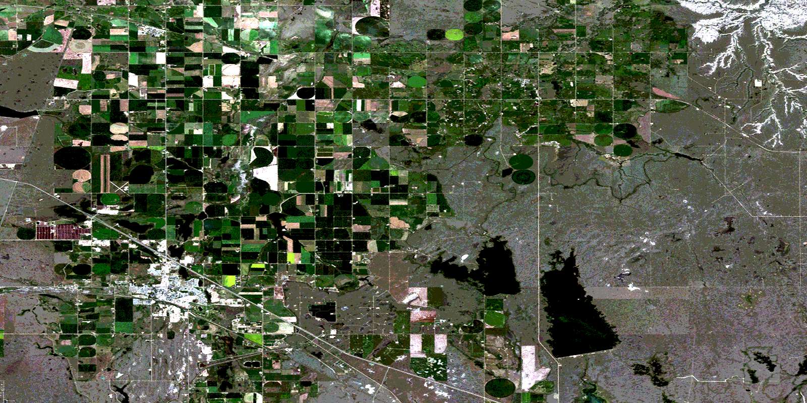
© Department of Natural Resources Canada. All rights reserved.
