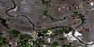
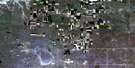
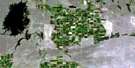
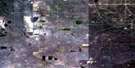
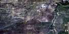
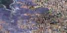
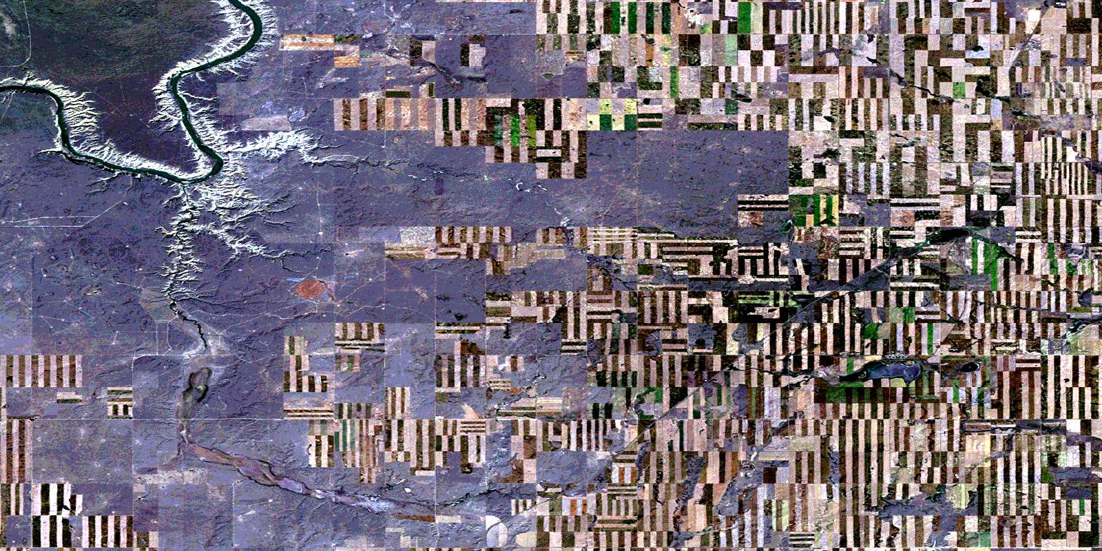
Hilda Satellite Image Map
Download Free Aerial Photo 072L08 at 1:50,000 scale
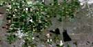
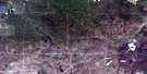
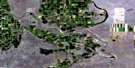
Hilda Satellite Imagery
To view this satellite map, mouse over the air photo on the right.
You can also download this satellite image map for free:
072L08 Hilda high-resolution satellite image map.
Maps for the Hilda aerial map sheet 072L08 at 1:50,000 scale are also available in these versions:
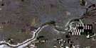
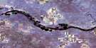
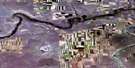
Hilda Surrounding Area Aerial Photo Maps
 |
 |
 |
 |
 |
 |
 |
 |
 |
 |
 |
 |
 |
 |
 |
 |
© Department of Natural Resources Canada. All rights reserved.
Hilda Gazetteer
The following places can be found on satellite image map 072L08 Hilda:
Hilda Satellite Image: Channels
Rapid NarrowsHilda Satellite Image: Lakes
Greenan LakeRed Deer Lake
Schuler Lake
Hilda Satellite Image: Military areas
Base des Forces canadiennes SuffieldCanadian Forces Base Suffield
Champ de manoeuvre Suffield
Suffield Training Area
Hilda Satellite Image: Major municipal/district area - major agglomerations
Municipal District of CypressMunicipal District of Cypress No. 1
Hilda Satellite Image: Conservation areas
Canadian Forces Base Suffield National Wildlife AreaRéserve nationale de faune de la Base des Forces canadiennes Suffield
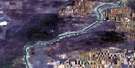
Hilda Satellite Image: Rivers
Rivière Saskatchewan SudSouth Saskatchewan River
Hilda Satellite Image: Unincorporated areas
HildaPivot
Roseglen
Schuler
Hilda Satellite Image: Valleys
Bull Springs CouléeWhite Rock Coulée
© Department of Natural Resources Canada. All rights reserved.
