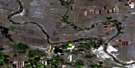
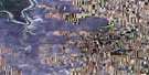
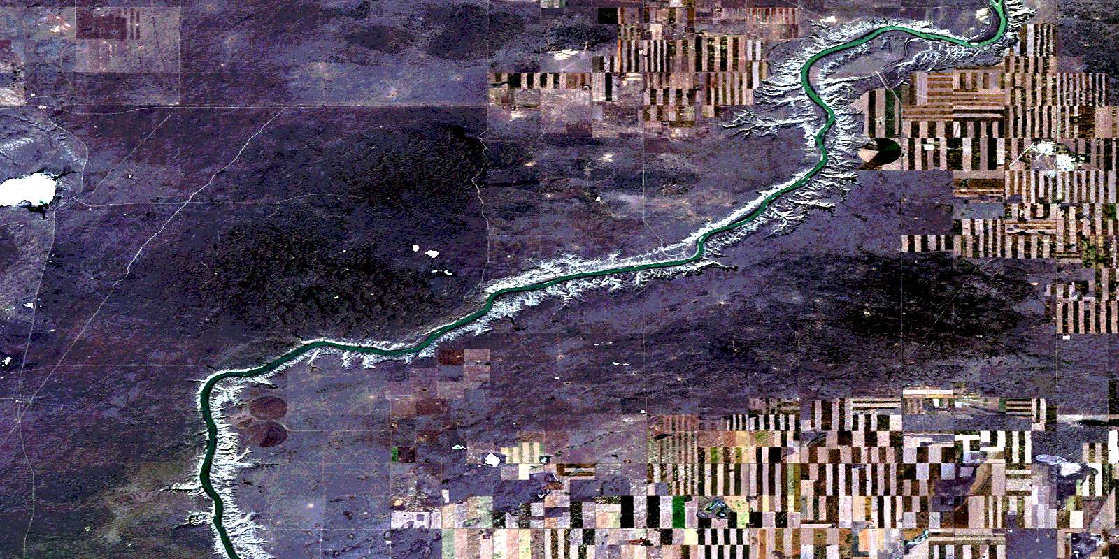
The Middle Sand Hills Satellite Image Map
Download Free Aerial Photo 072L09 at 1:50,000 scale
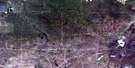
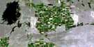
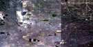
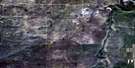
The Middle Sand Hills Satellite Imagery
To view this satellite map, mouse over the air photo on the right.
You can also download this satellite image map for free:
072L09 The Middle Sand Hills high-resolution satellite image map.
Maps for the The Middle Sand Hills aerial map sheet 072L09 at 1:50,000 scale are also available in these versions:
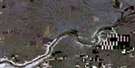
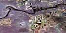
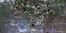
The Middle Sand Hills Surrounding Area Aerial Photo Maps
 |
 |
 |
 |
 |
 |
 |
 |
 |
 |
 |
 |
 |
 |
 |
 |
© Department of Natural Resources Canada. All rights reserved.
The Middle Sand Hills Gazetteer
The following places can be found on satellite image map 072L09 The Middle Sand Hills:
The Middle Sand Hills Satellite Image: Capes
Sandy PointThe Middle Sand Hills Satellite Image: Lakes
White Horse LakeThe Middle Sand Hills Satellite Image: Military areas
Base des Forces canadiennes SuffieldCanadian Forces Base Suffield
Champ de manoeuvre Suffield
Suffield Training Area
The Middle Sand Hills Satellite Image: Mountains
The Middle Sand HillsThe Middle Sand Hills Satellite Image: Major municipal/district area - major agglomerations
Municipal District of CypressMunicipal District of Cypress No. 1
The Middle Sand Hills Satellite Image: Other municipal/district area - miscellaneous
Special Area No. 2The Middle Sand Hills Satellite Image: Rivers
Rivière Saskatchewan SudSouth Saskatchewan River
The Middle Sand Hills Satellite Image: Unincorporated areas
McNeillSocial Plains
© Department of Natural Resources Canada. All rights reserved.
