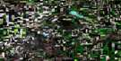
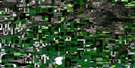
Kramer Lake Satellite Image Map
Download Free Aerial Photo 072O01 at 1:50,000 scale
Kramer Lake Satellite Imagery
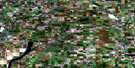
To view this satellite map, mouse over the air photo on the right.
You can also download this satellite image map for free:
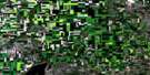
072O01 Kramer Lake high-resolution satellite image map.
Maps for the Kramer Lake aerial map sheet 072O01 at 1:50,000 scale are also available in these versions:
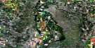
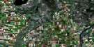
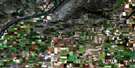
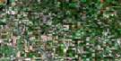
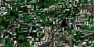
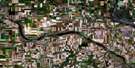
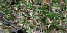
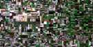
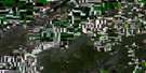
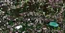
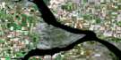
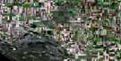
Kramer Lake Surrounding Area Aerial Photo Maps
 |
 |
 |
 |
 |
 |
 |
 |
 |
 |
 |
 |
 |
 |
 |
 |
© Department of Natural Resources Canada. All rights reserved.
Kramer Lake Gazetteer
The following places can be found on satellite image map 072O01 Kramer Lake:
Kramer Lake Satellite Image: Bays
Gordon McKenzie ArmKramer Lake Satellite Image: Lakes
Kramer LakeLake Diefenbaker
Middagh Lake
Kramer Lake Satellite Image: Mountains
Sand HillsKramer Lake Satellite Image: Other municipal/district area - miscellaneous
Arm River No. 252Craik No. 222
Huron No. 223
Loreburn No. 254
Maple Bush No. 224
Willner No. 253
Kramer Lake Satellite Image: Conservation areas
Douglas Provincial ParkElbow Wildlife Management Unit
Kramer Lake Satellite Image: Rivers
Deer Run CreekKramer Lake Satellite Image: Unincorporated areas
Rosemae
© Department of Natural Resources Canada. All rights reserved.
