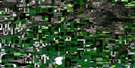
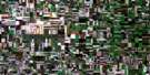
Hawarden Satellite Image Map
Download Free Aerial Photo 072O07 at 1:50,000 scale
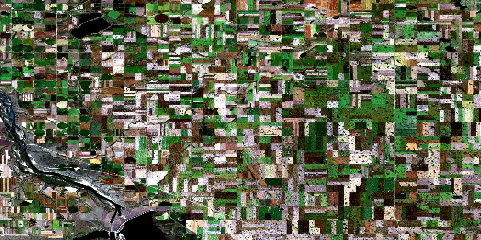
Hawarden Satellite Imagery
To view this satellite map, mouse over the air photo on the right.
You can also download this satellite image map for free:
072O07 Hawarden high-resolution satellite image map.
Maps for the Hawarden aerial map sheet 072O07 at 1:50,000 scale are also available in these versions:
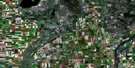
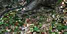
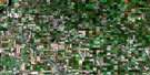
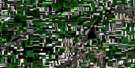
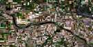
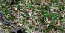
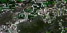
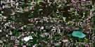
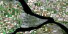
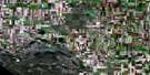
Hawarden Surrounding Area Aerial Photo Maps
 |
 |
 |
 |
 |
 |
 |
 |
 |
 |
 |
 |
 |
 |
 |
 |
© Department of Natural Resources Canada. All rights reserved.
Hawarden Gazetteer
The following places can be found on satellite image map 072O07 Hawarden:
Hawarden Satellite Image: Bays
Coteau BayPump House Bay
Ramp Bay
Spence Bay
Thomson Arm
Hawarden Satellite Image: Cliffs
Coteau (The)The Coteau
Hawarden Satellite Image: Hydraulic construction
Gardiner DamHawarden Satellite Image: Lakes
Broderick ReservoirLake Diefenbaker
Hawarden Satellite Image: Other municipal/district area - miscellaneous
Coteau No. 255Fertile Valley No. 285
Loreburn No. 254
Rosedale No. 283
Rudy No. 284
Hawarden Satellite Image: Conservation areas
Coldwell Park Recreation SiteDanielson Provincial Park
Hawarden Satellite Image: Rivers
Coteau CreekInverness Creek
Rivière Saskatchewan Sud
South Saskatchewan River
Stoehr Creek
Hawarden Satellite Image: Unincorporated areas
CutbankJays
Hawarden Satellite Image: Villages
BroderickGlenside
Hawarden
Strongfield
© Department of Natural Resources Canada. All rights reserved.
