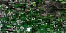
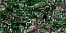
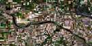
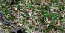
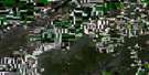
Hanley Satellite Image Map
Download Free Aerial Photo 072O09 at 1:50,000 scale
Hanley Satellite Imagery
To view this satellite map, mouse over the air photo on the right.
You can also download this satellite image map for free:
072O09 Hanley high-resolution satellite image map.
Maps for the Hanley aerial map sheet 072O09 at 1:50,000 scale are also available in these versions:
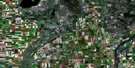
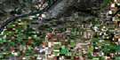
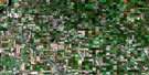
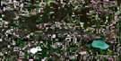
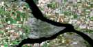
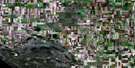
Hanley Surrounding Area Aerial Photo Maps
 |
 |
 |
 |
 |
 |
 |
 |
 |
 |
 |
 |
 |
 |
 |
 |
© Department of Natural Resources Canada. All rights reserved.
Hanley Gazetteer
The following places can be found on satellite image map 072O09 Hanley:
Hanley Satellite Image: Lakes
Blackstrap ReservoirCygnet Lake
Dunnings Lake
Indi Lake
Salt Lake
Willie Lake
Hanley Satellite Image: Mountains
Allan HillsHanley Satellite Image: Other municipal/district area - miscellaneous
Dundurn No. 314Lost River No. 313
McCraney No. 282
Morris No. 312
Rosedale No. 283
Hanley Satellite Image: Conservation areas
Blackstrap Provincial ParkHanley Satellite Image: Rivers
Brightwater CreekHanley Satellite Image: Towns
HanleyHanley Satellite Image: Unincorporated areas
Allan HillsStrong
Hanley Satellite Image: Valleys
Blackstrap CouleeHanley Satellite Image: Villages
Kenaston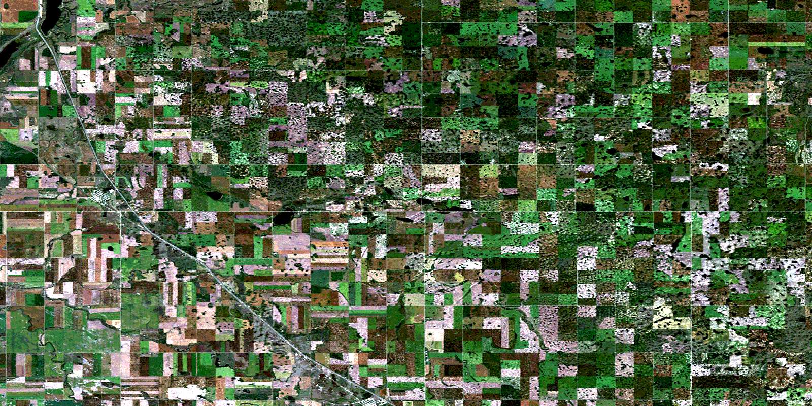
© Department of Natural Resources Canada. All rights reserved.
