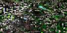
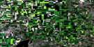
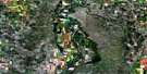
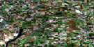
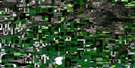
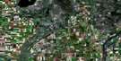
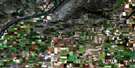
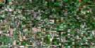
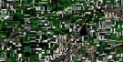
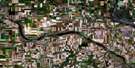
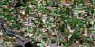
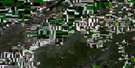
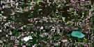
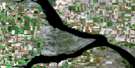
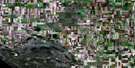
Elbow Satellite Image Map
Download Free Aerial Photo 072O02 at 1:50,000 scale
Elbow Satellite Imagery
To view this satellite map, mouse over the air photo on the right.
You can also download this satellite image map for free:
072O02 Elbow high-resolution satellite image map.
Maps for the Elbow aerial map sheet 072O02 at 1:50,000 scale are also available in these versions:
Elbow Surrounding Area Aerial Photo Maps
 |
 |
 |
 |
 |
 |
 |
 |
 |
 |
 |
 |
 |
 |
 |
 |
© Department of Natural Resources Canada. All rights reserved.
Elbow Gazetteer
The following places can be found on satellite image map 072O02 Elbow:
Elbow Satellite Image: Bays
Coteau BayDunblane Bay
Elbow Harbour
Gordon McKenzie Arm
Hitchcock Bay
Peterson Bay
Sage Bay
Thomson Arm
Tufts Bay
Elbow Satellite Image: Capes
North Maskepetoon PointSouth Maskepetoon Point
The Elbow
Elbow Satellite Image: Cliffs
Coteau (The)Elbow Lookout
Elbow Satellite Image: Hamlets
BirsayHitchcock Bay
Elbow Satellite Image: Islands
Resort IslandElbow Satellite Image: Lakes
Lake DiefenbakerMiddagh Lake
Elbow Satellite Image: Other municipal/district area - miscellaneous
Canaan No. 225Coteau No. 255
Loreburn No. 254
Maple Bush No. 224
Elbow Satellite Image: Conservation areas
Danielson Provincial ParkDouglas Provincial Park
Elbow Harbour Recreation Site
Elbow Satellite Image: Rivers
Coteau CreekHitchcock Creek
Rivière Saskatchewan Sud
Sage Creek
South Saskatchewan River
Elbow Satellite Image: River features
The ElbowElbow Satellite Image: Unincorporated areas
AiktowDunblane
Longacre
South Elbow
Elbow Satellite Image: Valleys
Dunblane CouleeElbow Satellite Image: Villages
Coteau BeachElbow
Loreburn
Mistasinne
Mistusinne

© Department of Natural Resources Canada. All rights reserved.
