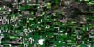
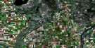
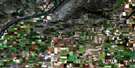
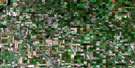
Dundurn Satellite Image Map
Download Free Aerial Photo 072O15 at 1:50,000 scale
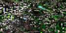
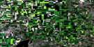
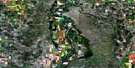
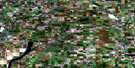
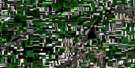
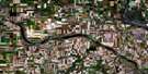
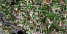
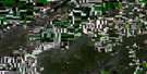
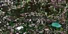
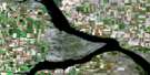
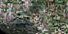
Dundurn Satellite Imagery
To view this satellite map, mouse over the air photo on the right.
You can also download this satellite image map for free:
072O15 Dundurn high-resolution satellite image map.
Maps for the Dundurn aerial map sheet 072O15 at 1:50,000 scale are also available in these versions:
Dundurn Surrounding Area Aerial Photo Maps
 |
 |
 |
 |
 |
 |
 |
 |
 |
 |
 |
 |
 |
 |
 |
 |
© Department of Natural Resources Canada. All rights reserved.
Dundurn Gazetteer
The following places can be found on satellite image map 072O15 Dundurn:
Dundurn Satellite Image: Hamlets
Beaver CreekDundurn Satellite Image: Indian Reserves
White Cap 94Dundurn Satellite Image: Islands
Kennedy IslandsMacpherson Island
Young Island
Dundurn Satellite Image: Lakes
Brightwater LakeIndian Lake
Moon Lake
Pike Lake
Strehlow Pond
Swamp Lake
Wapisiu Lake
Dundurn Satellite Image: Other municipal/district area - miscellaneous
Corman Park No. 344Cory No. 344
Dundurn No. 314
Montrose No. 315
Vanscoy No. 345
Dundurn Satellite Image: Conservation areas
Otapasoo Trails Recreation SitePike Lake Provincial Park
Dundurn Satellite Image: Rivers
Brightwater CreekDundurn Creek
Rivière Saskatchewan Sud
South Saskatchewan River
Dundurn Satellite Image: Towns
DundurnDundurn Satellite Image: Unincorporated areas
Camp DundurnDundurn Camp
Gledhow
Haultain
Pike Lake
Strehlow
Valley Park
Whitecap
Dundurn Satellite Image: Low vegetation
Brightwater MarshWapisiu Marsh
Dundurn Satellite Image: Villages
Vanscoy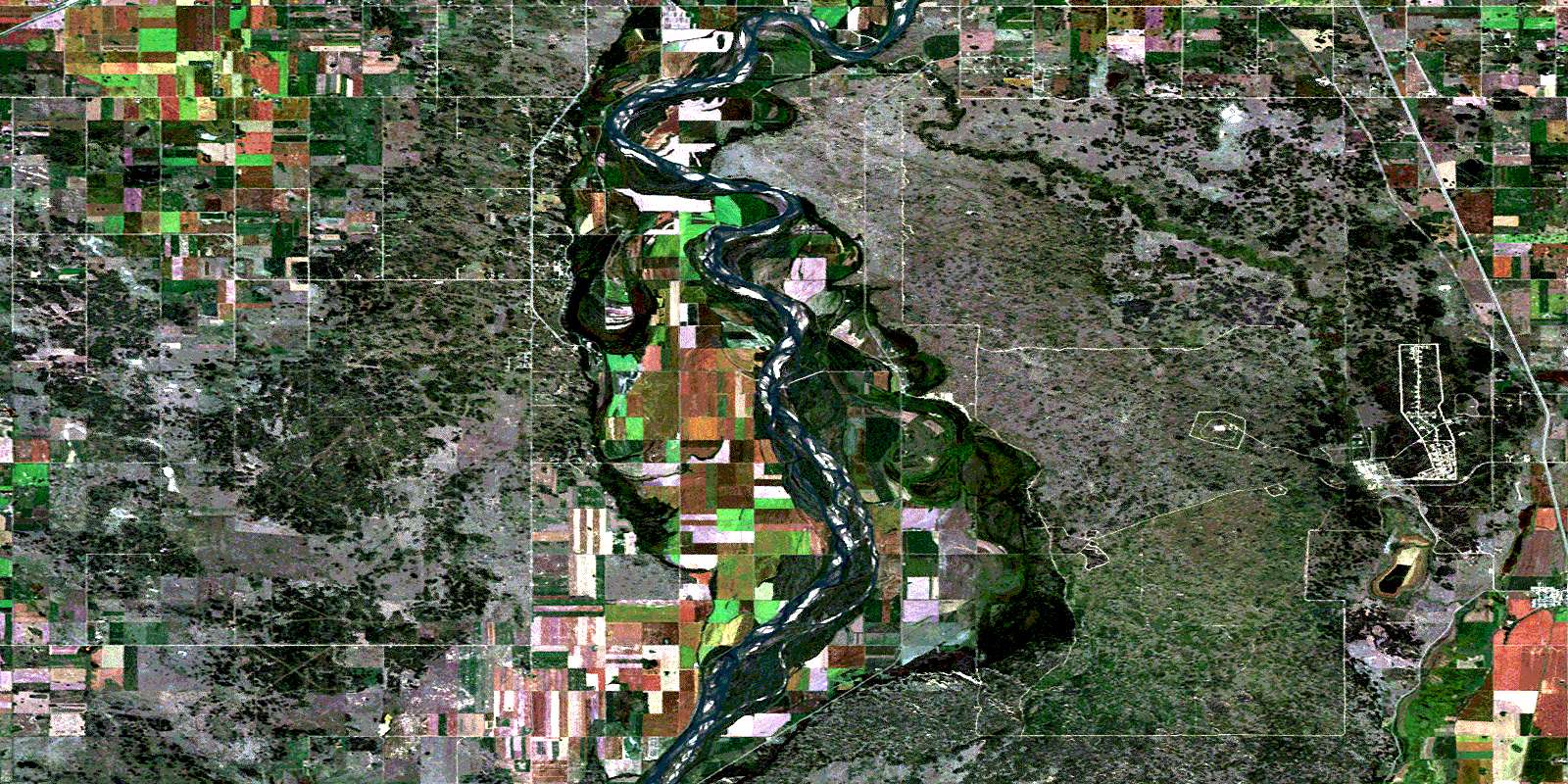
© Department of Natural Resources Canada. All rights reserved.
