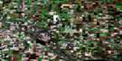
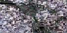
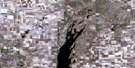
Kutawagan Lake Satellite Image Map
Download Free Aerial Photo 072P10 at 1:50,000 scale
Kutawagan Lake Satellite Imagery
To view this satellite map, mouse over the air photo on the right.
You can also download this satellite image map for free:
072P10 Kutawagan Lake high-resolution satellite image map.
Maps for the Kutawagan Lake aerial map sheet 072P10 at 1:50,000 scale are also available in these versions:
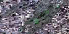
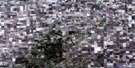
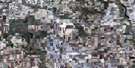
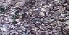
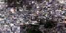
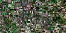
Kutawagan Lake Surrounding Area Aerial Photo Maps
 |
 |
 |
 |
 |
 |
 |
 |
 |
 |
 |
 |
 |
 |
 |
 |
© Department of Natural Resources Canada. All rights reserved.
Kutawagan Lake Gazetteer
The following places can be found on satellite image map 072P10 Kutawagan Lake:
Kutawagan Lake Satellite Image: Lakes
Charles LakeKutawagan Lake
Lac du Chemin
Kutawagan Lake Satellite Image: Other municipal/district area - miscellaneous
Big Quill No. 308Kutawa No. 278
Mount Hope No. 279
Prairie Rose No. 309
Usborne No. 310
Wreford No. 280
Kutawagan Lake Satellite Image: Conservation areas
Mount Hope Wildlife Management UnitKutawagan Lake Satellite Image: Rivers
Dafoe BrookKutawagan Lake Satellite Image: Towns
NokomisKutawagan Lake Satellite Image: Unincorporated areas
CopelandKutawagan Lake Satellite Image: Villages
Dafoe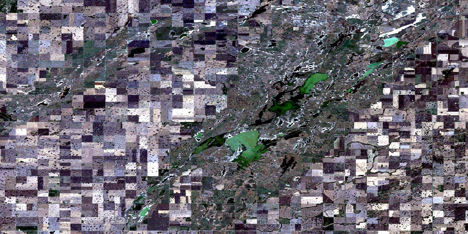
© Department of Natural Resources Canada. All rights reserved.
