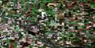
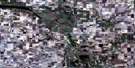
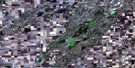
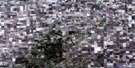
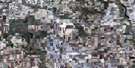
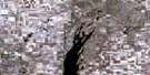
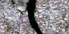
Touchwood Hills Satellite Image Map
Download Free Aerial Photo 072P09 at 1:50,000 scale
Touchwood Hills Satellite Imagery
To view this satellite map, mouse over the air photo on the right.
You can also download this satellite image map for free:
072P09 Touchwood Hills high-resolution satellite image map.
Maps for the Touchwood Hills aerial map sheet 072P09 at 1:50,000 scale are also available in these versions:
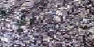
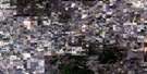
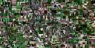
Touchwood Hills Surrounding Area Aerial Photo Maps
 |
 |
 |
 |
 |
 |
 |
 |
 |
 |
 |
 |
 |
 |
 |
 |
© Department of Natural Resources Canada. All rights reserved.
Touchwood Hills Gazetteer
The following places can be found on satellite image map 072P09 Touchwood Hills:
Touchwood Hills Satellite Image: Indian Reserves
Beardy's & Okemasis 96 & 97-ADay Star 87
Poorman 88
Touchwood Hills Satellite Image: Lakes
Chachkew LakeDay Star Lake
Day Star Lakes
Etaytakoos Lake
Heron Lake
Highland Lake
Little Whitewood Lake
Mostoos Lake
Nayheyuw Lake
Nystrom Lake
Poorman Lake
Skeeboss Lake
Whitewood Lake
Touchwood Hills Satellite Image: Mountains
Touchwood HillsTouchwood Hills Satellite Image: Other municipal/district area - miscellaneous
Big Quill No. 308Elfros No. 307
Emerald No. 277
Kutawa No. 278
Touchwood Hills Satellite Image: Conservation areas
Wynyard Regional ParkTouchwood Hills Satellite Image: Plains
Touchwood UplandsTouchwood Hills Satellite Image: Rivers
Dafoe BrookJolly Creek
Magnusson Creek
Rushville Brook
Wynyard Creek
Touchwood Hills Satellite Image: Unincorporated areas
KrasneRushville
Touchwood Hills Satellite Image: Low vegetation
Strangs Slough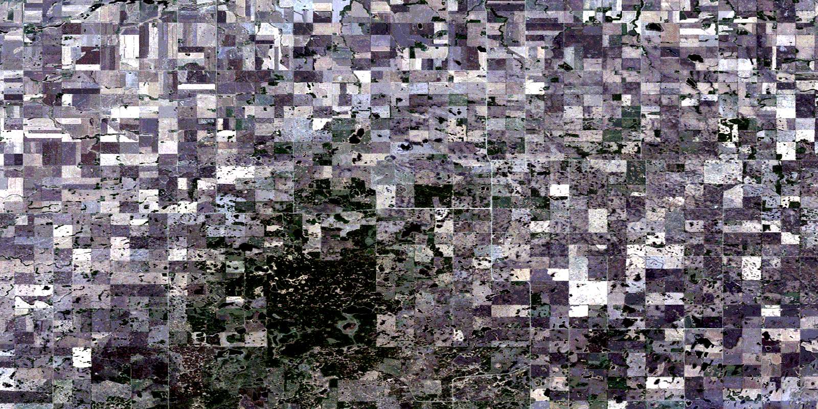
© Department of Natural Resources Canada. All rights reserved.
