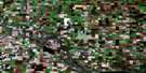
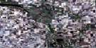
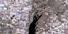
Wynyard Satellite Image Map
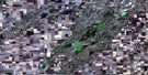
Download Free Aerial Photo 072P16 at 1:50,000 scale
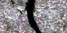
Wynyard Satellite Imagery
To view this satellite map, mouse over the air photo on the right.
You can also download this satellite image map for free:
072P16 Wynyard high-resolution satellite image map.
Maps for the Wynyard aerial map sheet 072P16 at 1:50,000 scale are also available in these versions:
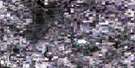
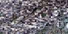
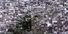
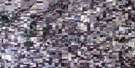
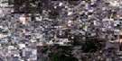
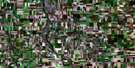
Wynyard Surrounding Area Aerial Photo Maps
 |
 |
 |
 |
 |
 |
 |
 |
 |
 |
 |
 |
 |
 |
 |
 |
© Department of Natural Resources Canada. All rights reserved.
Wynyard Gazetteer
The following places can be found on satellite image map 072P16 Wynyard:
Wynyard Satellite Image: Hamlets
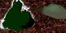
KandaharWynyard Satellite Image: Lakes
Big Quill LakeClair Lake
Little Quill Lake
Mud Lake
Quill Lakes
Quill Lakes
Wynyard Satellite Image: Other municipal/district area - miscellaneous
Big Quill No. 308Elfros No. 307
Lakeside No. 338
Lakeview No. 337
Prairie Rose No. 309
Wynyard Satellite Image: Conservation areas
Clair Lake Regional ParkMud Lake Wildlife Refuge
Wynyard Regional Park
Wynyard Satellite Image: Plains
Touchwood UplandsWynyard Satellite Image: Rivers
Clair BrookIronspring Creek
Jolly Creek
Magnusson Creek
Quill Creek
Rushville Brook
Wynyard Creek
Wynyard Satellite Image: Springs
Hallardson SpringHalldorson Spring
Wynyard Satellite Image: Towns
Wynyard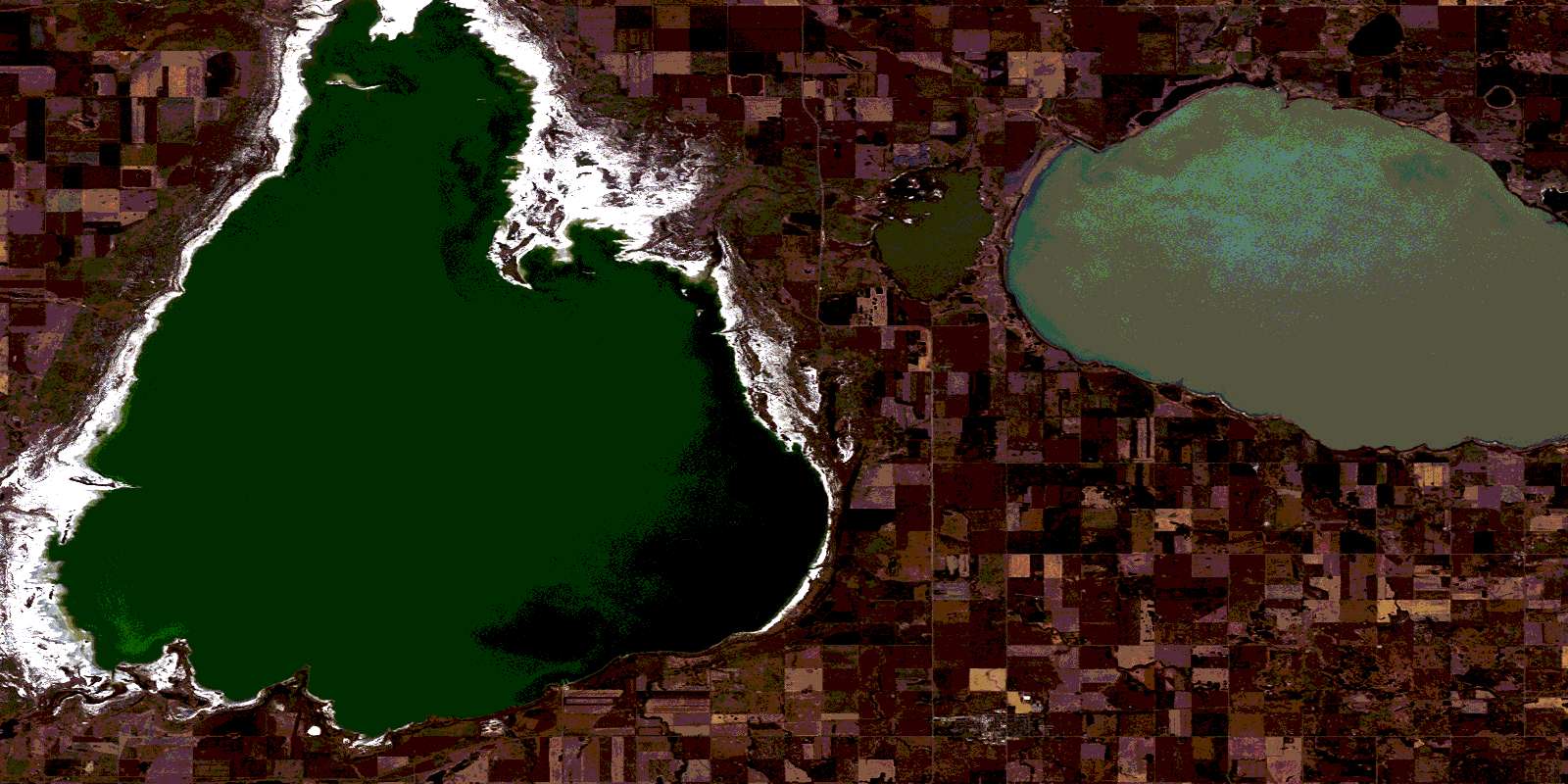
© Department of Natural Resources Canada. All rights reserved.
