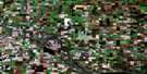
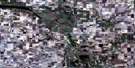
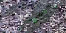
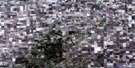
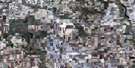
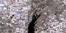
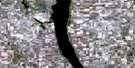
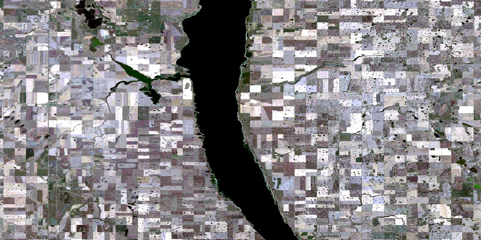
Liberty Satellite Image Map
Download Free Aerial Photo 072P03 at 1:50,000 scale
Liberty Satellite Imagery
To view this satellite map, mouse over the air photo on the right.
You can also download this satellite image map for free:
072P03 Liberty high-resolution satellite image map.
Maps for the Liberty aerial map sheet 072P03 at 1:50,000 scale are also available in these versions:
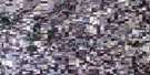
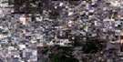
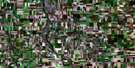
Liberty Surrounding Area Aerial Photo Maps
 |
 |
 |
 |
 |
 |
 |
 |
 |
 |
 |
 |
 |
 |
 |
 |
© Department of Natural Resources Canada. All rights reserved.
Liberty Gazetteer
The following places can be found on satellite image map 072P03 Liberty:
Liberty Satellite Image: Bays
Big Arm BayLiberty Satellite Image: Hamlets
Arlington BeachCollingwood Lakeshore Estates
Penzance
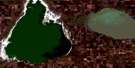
Liberty Satellite Image: Lakes
Last Mountain LakeLiberty Satellite Image: Other municipal/district area - miscellaneous
Big Arm No. 251Last Mountain Valley No. 250
McKillop No. 220
Sarnia No. 221
Liberty Satellite Image: Conservation areas
Etter's Beach Recreation SiteRéserve nationale de faune de Stalwart
Rowan's Ravine Provincial Park
Stalwart National Wildlife Area
Liberty Satellite Image: Unincorporated areas
Hendersons BeachPryors Beach
Stalwart
Liberty Satellite Image: Valleys
Rowan RavineRowan's Ravine
Liberty Satellite Image: Villages
Etter BeachEtters Beach
Etter's Beach
Liberty
© Department of Natural Resources Canada. All rights reserved.
