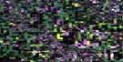
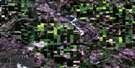
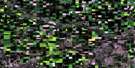
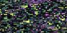
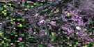
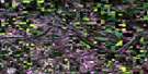
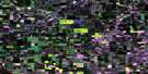
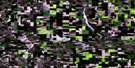
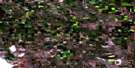
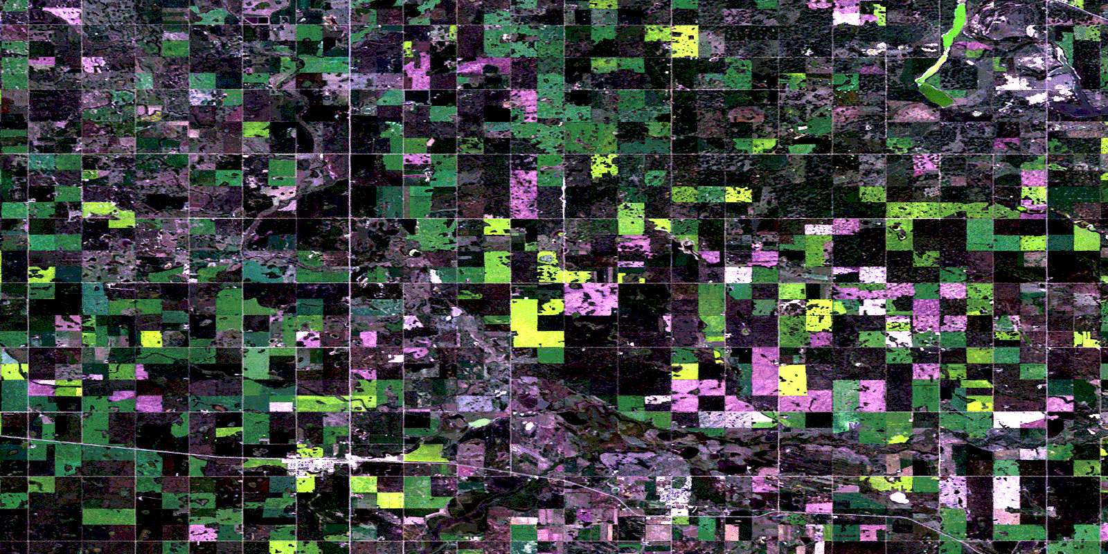
Sedgewick Satellite Image Map
Download Free Aerial Photo 073D13 at 1:50,000 scale
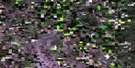
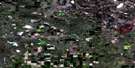
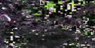
Sedgewick Satellite Imagery
To view this satellite map, mouse over the air photo on the right.
You can also download this satellite image map for free:
073D13 Sedgewick high-resolution satellite image map.
Maps for the Sedgewick aerial map sheet 073D13 at 1:50,000 scale are also available in these versions:
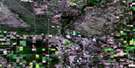
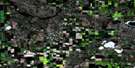
Sedgewick Surrounding Area Aerial Photo Maps
 |
 |
 |
 |
 |
 |
 |
 |
 |
 |
 |
 |
 |
 |
 |
 |
© Department of Natural Resources Canada. All rights reserved.
Sedgewick Gazetteer
The following places can be found on satellite image map 073D13 Sedgewick:
Sedgewick Satellite Image: Lakes
Hattie LakeVernon Lake
Whitewater Lake
Sedgewick Satellite Image: Major municipal/district area - major agglomerations
Beaver CountyCounty of Beaver No. 9
County of Flagstaff No. 29
Flagstaff County
Sedgewick Satellite Image: Conservation areas
Ribstone Heritage Monument Provincial Historic Site (Undeveloped)Sedgewick Satellite Image: Rivers
Iron CreekSedgewick Satellite Image: Towns
KillamSedgewick
Sedgewick Satellite Image: Unincorporated areas
BonleaKinsella
© Department of Natural Resources Canada. All rights reserved.
