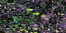
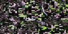
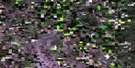
Mclaughlin Satellite Image Map
Download Free Aerial Photo 073D16 at 1:50,000 scale
Mclaughlin Satellite Imagery
To view this satellite map, mouse over the air photo on the right.
You can also download this satellite image map for free:
073D16 Mclaughlin high-resolution satellite image map.
Maps for the Mclaughlin aerial map sheet 073D16 at 1:50,000 scale are also available in these versions:
Mclaughlin Surrounding Area Aerial Photo Maps
 |
 |
 |
 |
 |
 |
 |
 |
 |
 |
 |
 |
 |
 |
 |
 |
© Department of Natural Resources Canada. All rights reserved.
Mclaughlin Gazetteer
The following places can be found on satellite image map 073D16 Mclaughlin:
Mclaughlin Satellite Image: Lakes
Alba LakeEric Lake
Estridge Lake
James Lake
Loon Lake
Lucia Lake
McIntyre Lake
Millard Lake
Morning Lake
Mushroom Lake
Pelican Lake
Porter Lake
Sherlock Lake
Sherlock Lake
Siegner Lake
Stevenson Lake
Mclaughlin Satellite Image: Major municipal/district area - major agglomerations
County of Vermilion River No. 24Municipal District of Wainwright No. 61
Mclaughlin Satellite Image: Other municipal/district area - miscellaneous
Manitou Lake No. 442Wilton No. 472
Mclaughlin Satellite Image: Provinces
AlbertaMclaughlin Satellite Image: Rivers
Battle RiverBattle River
Blackfoot Creek
Blackfoot Creek
Ribstone Creek
Mclaughlin Satellite Image: Unincorporated areas
DinaMcLaughlin
Oxville
Prospect Valley
Ridgeclough
Roros
Sidcup
Mclaughlin Satellite Image: Villages
Edgerton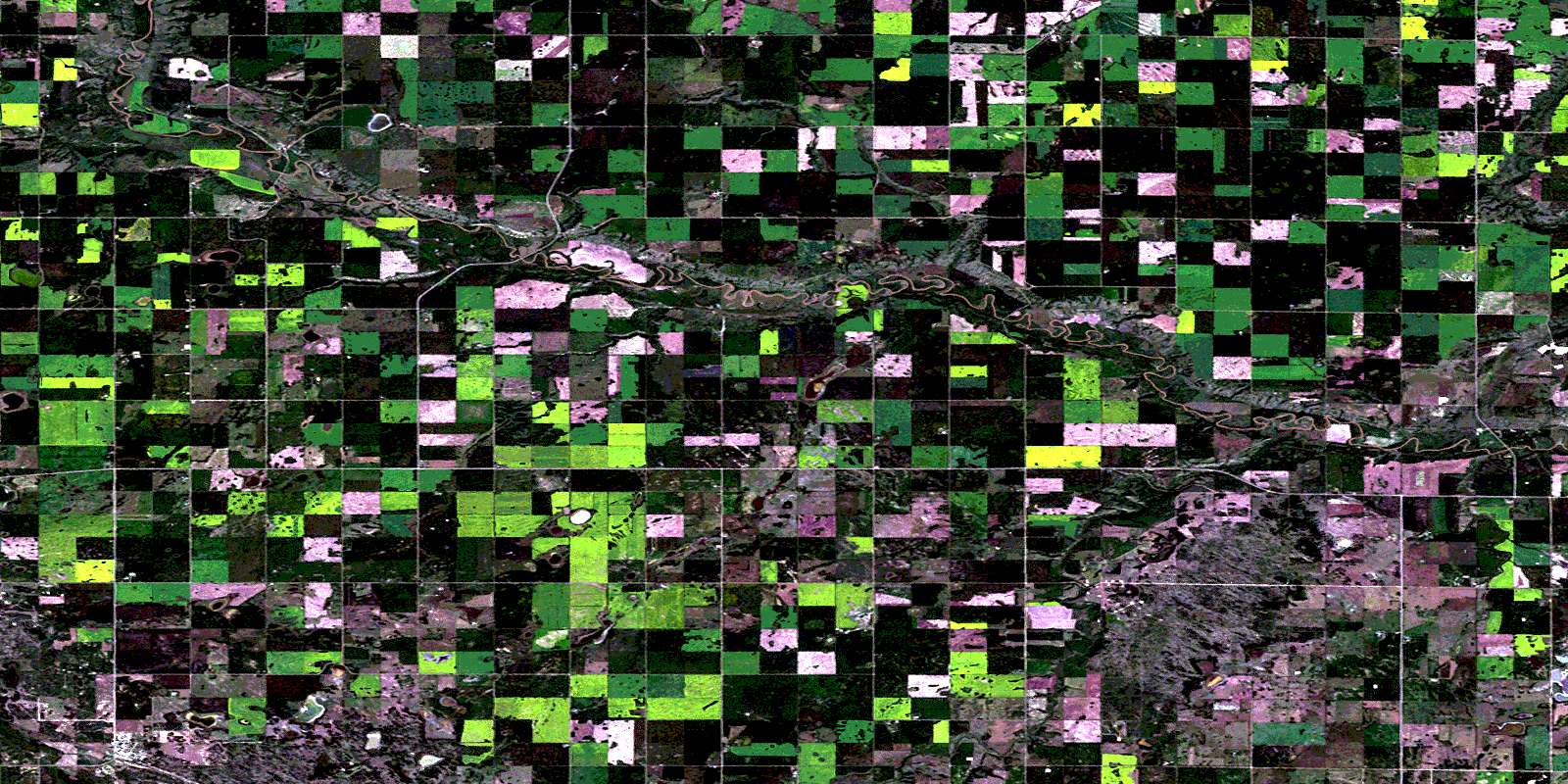
© Department of Natural Resources Canada. All rights reserved.
