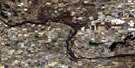
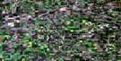
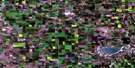
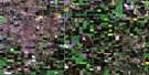
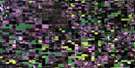
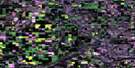
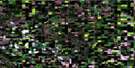
Hairy Hill Satellite Image Map
Download Free Aerial Photo 073E13 at 1:50,000 scale
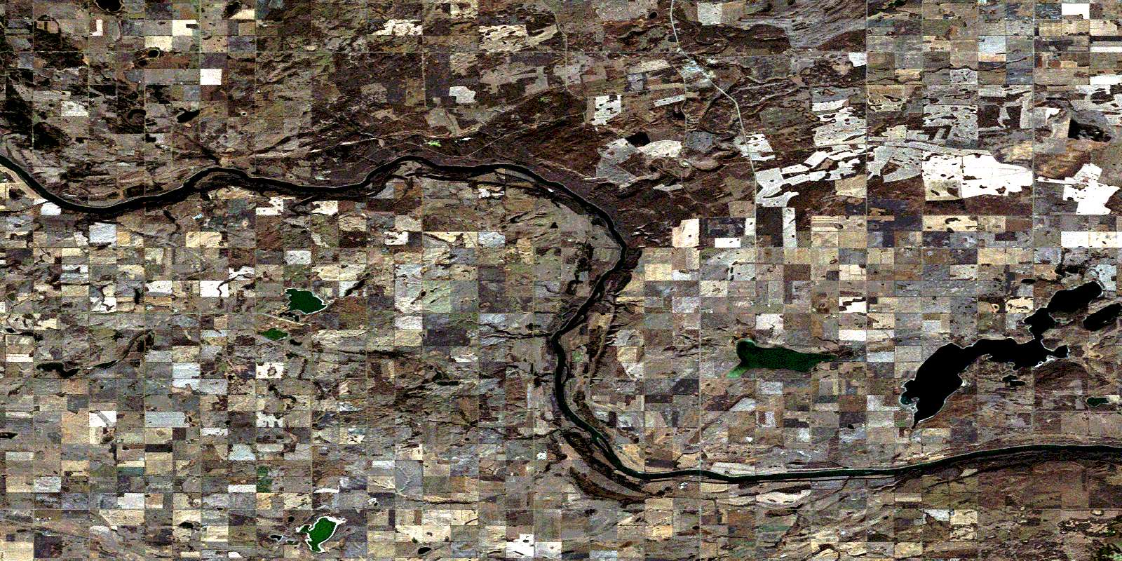
Hairy Hill Satellite Imagery
To view this satellite map, mouse over the air photo on the right.
You can also download this satellite image map for free:
073E13 Hairy Hill high-resolution satellite image map.
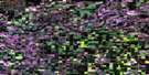
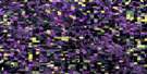
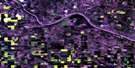
Maps for the Hairy Hill aerial map sheet 073E13 at 1:50,000 scale are also available in these versions:
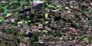
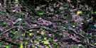
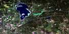
Hairy Hill Surrounding Area Aerial Photo Maps
 |
 |
 |
 |
 |
 |
 |
 |
 |
 |
 |
 |
 |
 |
 |
 |
© Department of Natural Resources Canada. All rights reserved.
Hairy Hill Gazetteer
The following places can be found on satellite image map 073E13 Hairy Hill:
Hairy Hill Satellite Image: Indian Reserves
Saddle Lake 125Hairy Hill Satellite Image: Lakes
Lac BrosseauLac Poitras
Lac Santé
Pakan Lake
Shalka Lake
Hairy Hill Satellite Image: Mountains
Snake HillsSnipe Hills
Hairy Hill Satellite Image: Major municipal/district area - major agglomerations
County of Smoky Lake No. 13County of St. Paul No. 19
County of Two Hills No. 21
Smoky Lake County
Hairy Hill Satellite Image: Rivers
Cucumber CreekNorth Saskatchewan River
Pakan Creek
Rivière Saskatchewan Nord
Saddlelake Creek
Hairy Hill Satellite Image: Unincorporated areas
BrosseauDuvernay
Foisy
Hairy Hill
Hamlin
Ispas
Sacred Heart
Saddle Lake
Shalka
Shepenge
St. Brides
© Department of Natural Resources Canada. All rights reserved.
073E Related Maps:
073E Vermilion073E01 Paradise Valley
073E02 Grizzly Bear Creek
073E03 Buffalo Creek
073E04 Viking
073E05 Innisfree
073E06 Mannville
073E07 Vermilion
073E08 Lloydminster
073E09 Marwayne
073E10 Clandonald
073E11 Myrnam
073E12 Two Hills
073E13 Hairy Hill
073E14 St Paul
073E15 Elk Point
073E16 Frog Lake
