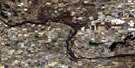
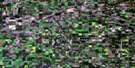
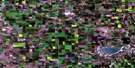
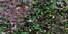
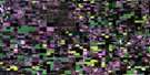
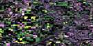
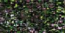
Elk Point Satellite Image Map
Download Free Aerial Photo 073E15 at 1:50,000 scale
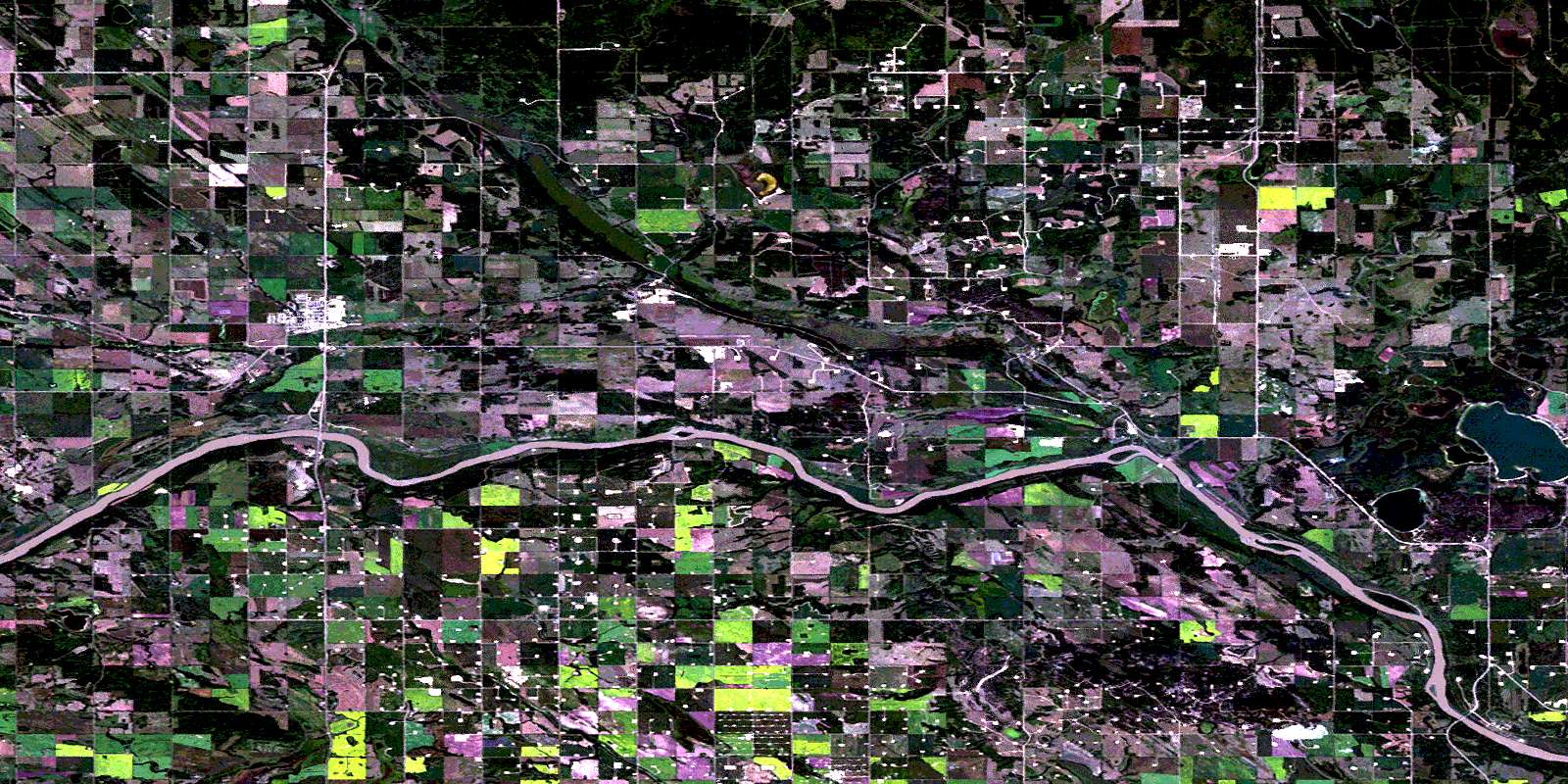
Elk Point Satellite Imagery
To view this satellite map, mouse over the air photo on the right.
You can also download this satellite image map for free:
073E15 Elk Point high-resolution satellite image map.
Maps for the Elk Point aerial map sheet 073E15 at 1:50,000 scale are also available in these versions:
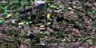
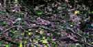
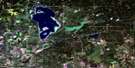
Elk Point Surrounding Area Aerial Photo Maps
 |
 |
 |
 |
 |
 |
 |
 |
 |
 |
 |
 |
 |
 |
 |
 |
© Department of Natural Resources Canada. All rights reserved.
Elk Point Gazetteer
The following places can be found on satellite image map 073E15 Elk Point:
Elk Point Satellite Image: Indian Reserves
Puskiakiwenin 122Elk Point Satellite Image: Lakes
Bluet LakeBorden Lake
Dion Lake
Gadois Lake
Garnier Lakes
Gedeon Lake
Hobden Lake
Hook Lake
Lac Dufresne
Laurier Lake
Mitchell Lake
Moosehills Lake
Simmo Lake
Whitney Lake
Elk Point Satellite Image: Mountains
Moose HillsElk Point Satellite Image: Major municipal/district area - major agglomerations
County of St. Paul No. 19County of Two Hills No. 21
County of Vermilion River No. 24
Elk Point Satellite Image: Conservation areas
Fort George/Buckingham House Provincial Historic Site (Undeveloped)Whitney Lakes Provincial Park
Elk Point Satellite Image: Rivers
Atimoswe CreekDeath River
Dog Rump Creek
Irish Creek
Middle Creek
Moosehills Creek
Mooswa Creek
North Saskatchewan River
Rivière Saskatchewan Nord
Telegraph Creek
Elk Point Satellite Image: Towns
Elk PointElk Point Satellite Image: Unincorporated areas
Angle LakeFerguson Flats
Gratz
Heinsburg
Lindbergh
Middle Creek
Mooswa
Muriel
Northern Valley
Peat
Primrose
Primula
Riverview
Springpark
© Department of Natural Resources Canada. All rights reserved.
073E Related Maps:
073E Vermilion073E01 Paradise Valley
073E02 Grizzly Bear Creek
073E03 Buffalo Creek
073E04 Viking
073E05 Innisfree
073E06 Mannville
073E07 Vermilion
073E08 Lloydminster
073E09 Marwayne
073E10 Clandonald
073E11 Myrnam
073E12 Two Hills
073E13 Hairy Hill
073E14 St Paul
073E15 Elk Point
073E16 Frog Lake
