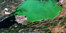
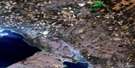
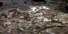
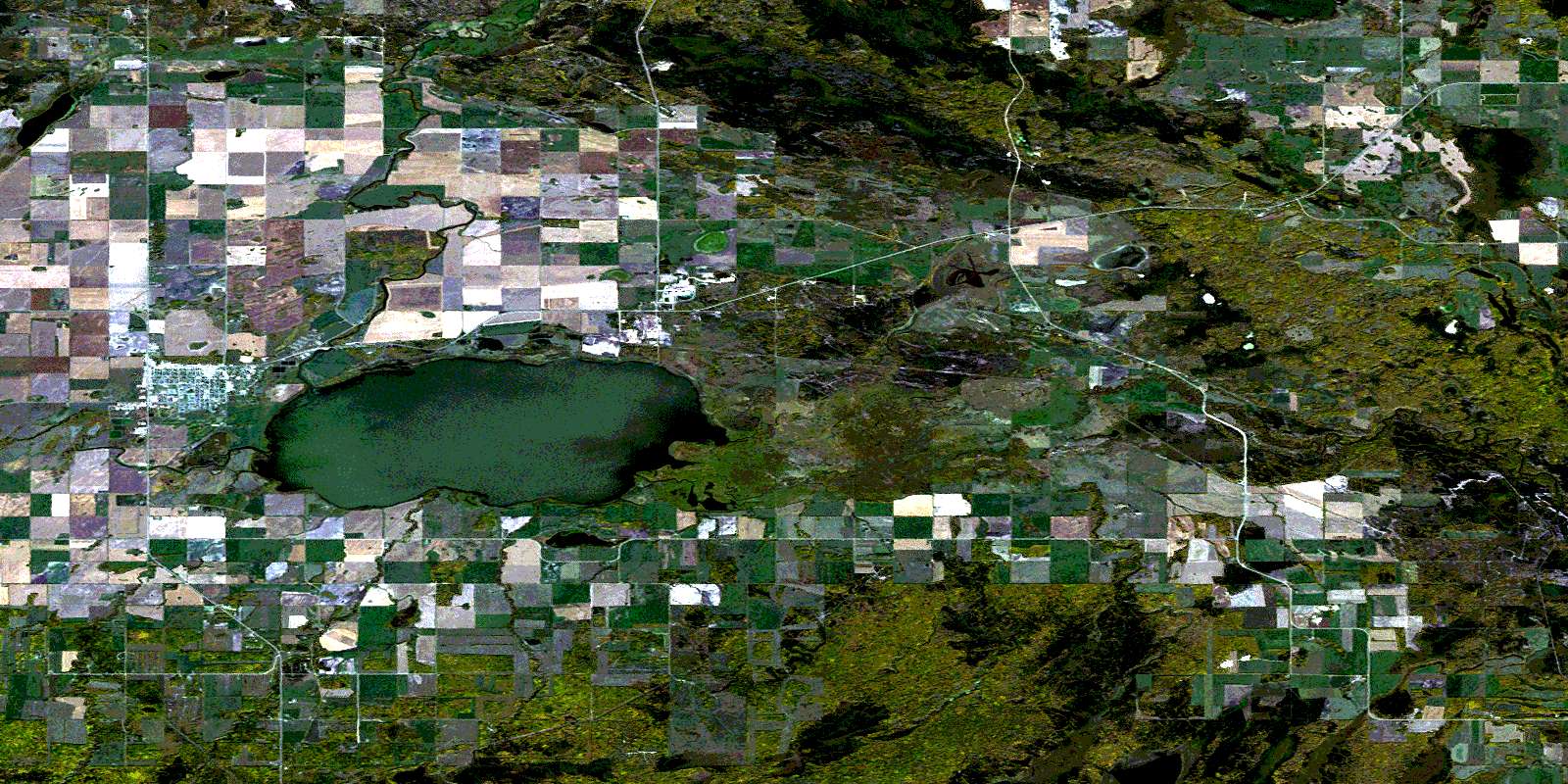
Meadow Lake Satellite Image Map
Download Free Aerial Photo 073K01 at 1:50,000 scale
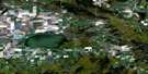
Meadow Lake Satellite Imagery
To view this satellite map, mouse over the air photo on the right.
You can also download this satellite image map for free:
073K01 Meadow Lake high-resolution satellite image map.
Maps for the Meadow Lake aerial map sheet 073K01 at 1:50,000 scale are also available in these versions:
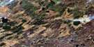
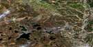
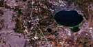
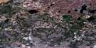
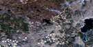
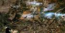
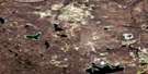
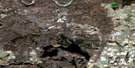
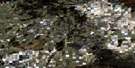
Meadow Lake Surrounding Area Aerial Photo Maps
 |
 |
 |
 |
 |
 |
 |
 |
 |
 |
 |
 |
 |
 |
 |
 |
© Department of Natural Resources Canada. All rights reserved.
Meadow Lake Gazetteer
The following places can be found on satellite image map 073K01 Meadow Lake:
Meadow Lake Satellite Image: Indian Reserves
Eagles Lake 165CFlying Dust First Nation 105
Flying Dust First Nation 105D
Flying Dust First Nation 105F
Meadow Lake 105C
Meadow Lake Indian Reserve 105
Pelican Lake 191-D
Réserve indienne Meadow Lake 105
Meadow Lake Satellite Image: Lakes
Foster LakeMeadow Lake
Saint Cyr Lake
Meadow Lake Satellite Image: Other municipal/district area - miscellaneous
Meadow Lake No. 588Meadow Lake Satellite Image: Conservation areas
Meadow Lake Lions Regional ParkSaint Cyr Hills Trails Recreation Site
Meadow Lake Satellite Image: Rivers
Chitek RiverLavigne River
Meadow River
Morin Creek
Nolin Creek
Meadow Lake Satellite Image: Towns
Meadow LakeMeadow Lake Satellite Image: Unincorporated areas
CabanaEckner
Matchee
Prendergast
Sergent
St. Cyr Lake
© Department of Natural Resources Canada. All rights reserved.
073K Related Maps:
073K Waterhen River073K01 Meadow Lake
073K02 Rapid View
073K03 Makwa Lake
073K04 Ministikwan Lake
073K05 Pierceland
073K06 Goodsoil
073K07 Dorintosh
073K08 Island Hill
073K09 Waterhen Lake
073K10 Flotten Lake
073K11 Muskeg Lake
073K12 Cold River
073K13 Primrose Lake
073K14 Kesatasew Lake
073K15 Lost Lake
073K16 Keeley Lake
