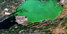
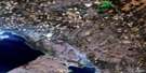
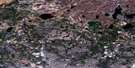
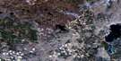
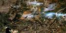
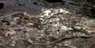
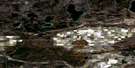
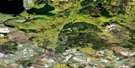
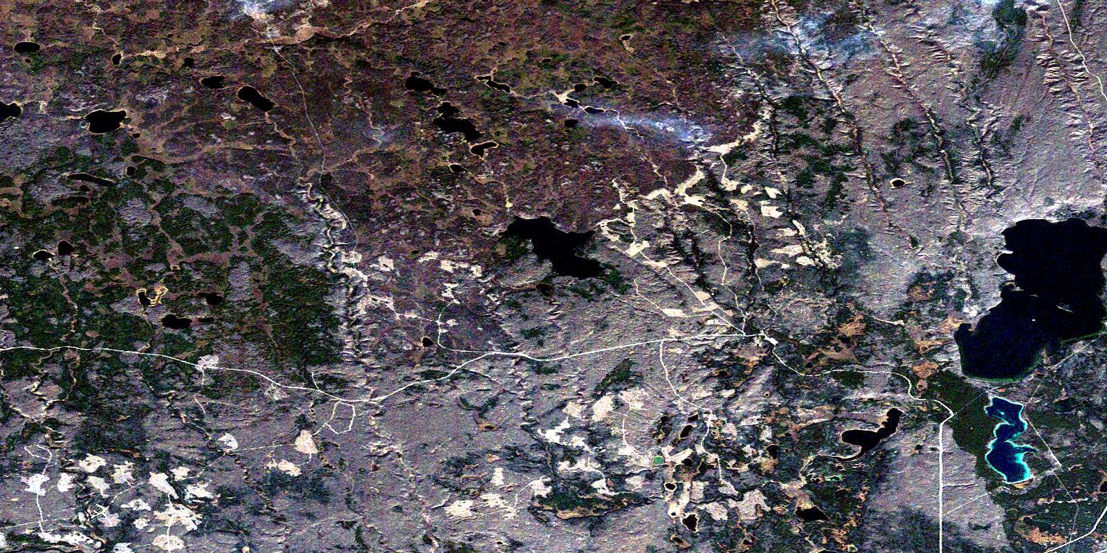
Flotten Lake Satellite Image Map
Download Free Aerial Photo 073K10 at 1:50,000 scale
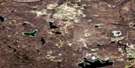
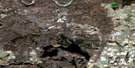
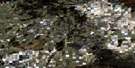
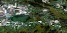
Flotten Lake Satellite Imagery
To view this satellite map, mouse over the air photo on the right.
You can also download this satellite image map for free:
073K10 Flotten Lake high-resolution satellite image map.
Maps for the Flotten Lake aerial map sheet 073K10 at 1:50,000 scale are also available in these versions:
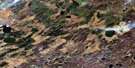
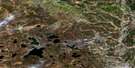
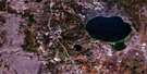
Flotten Lake Surrounding Area Aerial Photo Maps
 |
 |
 |
 |
 |
 |
 |
 |
 |
 |
 |
 |
 |
 |
 |
 |
© Department of Natural Resources Canada. All rights reserved.
Flotten Lake Gazetteer
The following places can be found on satellite image map 073K10 Flotten Lake:
Flotten Lake Satellite Image: Islands
Clay IslandFlotten Lake Satellite Image: Lakes
Coupland LakeFifth Lake
Flotten Lake
Hildred Lake
Jeannette Lake
Mallard Lake
Pipe Lake
Rush Lake
Sergent Lake
Trask Lake
Waterhen Lake
Flotten Lake Satellite Image: Mountains
Barnett RidgeMostoos Hills
Flotten Lake Satellite Image: Other municipal/district area - miscellaneous
Meadow Lake No. 588Flotten Lake Satellite Image: Conservation areas
Meadow Lake Provincial ParkFlotten Lake Satellite Image: Rivers
Carl CreekDe La Ronde Creek
Dennis Creek
Fleury Creek
Flotten River
Landry Creek
Moloney Creek
Otter Creek
Ross Creek
Salt Creek
Taylor Creek
Ustookumin Creek
Young Creek
© Department of Natural Resources Canada. All rights reserved.
073K Related Maps:
073K Waterhen River073K01 Meadow Lake
073K02 Rapid View
073K03 Makwa Lake
073K04 Ministikwan Lake
073K05 Pierceland
073K06 Goodsoil
073K07 Dorintosh
073K08 Island Hill
073K09 Waterhen Lake
073K10 Flotten Lake
073K11 Muskeg Lake
073K12 Cold River
073K13 Primrose Lake
073K14 Kesatasew Lake
073K15 Lost Lake
073K16 Keeley Lake
