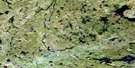
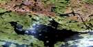
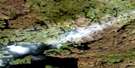
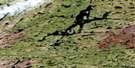
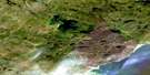
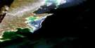
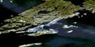
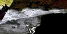
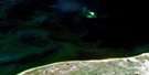
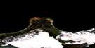
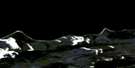
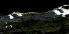
Goldfields Satellite Image Map
Download Free Aerial Photo 074N08 at 1:50,000 scale
Goldfields Satellite Imagery
To view this satellite map, mouse over the air photo on the right.
You can also download this satellite image map for free:
074N08 Goldfields high-resolution satellite image map.
Maps for the Goldfields aerial map sheet 074N08 at 1:50,000 scale are also available in these versions:
Goldfields Surrounding Area Aerial Photo Maps
 |
 |
 |
 |
 |
 |
 |
 |
 |
 |
 |
|
 |
 |
 |
 |
© Department of Natural Resources Canada. All rights reserved.
Goldfields Gazetteer
The following places can be found on satellite image map 074N08 Goldfields:
Goldfields Satellite Image: Bays
Caldwell BayChilwell Bay
Cornwall Bay
Davies Bay
Dunbar Bay
Fearey Bay
Felix Bay
Fish Hook Bay
Goldfields Bay
Hayter Bay
Mackintosh Bay
Nash Bay
Neiman Bay
Nicholson Bay
Parker Bay
Polowich Bay
Reed Bay
Wallace Bay
Goldfields Satellite Image: Capes
Boddy PointBrinson Point
Parker Point
Goldfields Satellite Image: Channels
Dead Man ChannelFoster Channel
Goldfields Satellite Image: Islands
Andrews IslandBelous Island
Bigfowl Island
Bryer Island
Cameron Island
Christie Island
Cody Island
Devlin Island
Elto Island
Garner Island
Halfmoon Island
Konsmo Island
Kookoos Island
Miseyao Island
Moose Island
Oldman Island
Pedersen Island
Peters Island
Ramstaad Island
Wesson Island
Goldfields Satellite Image: Lakes
Andrew LakeHill Lake
Kvam Lake
Lac Athabasca
Lake Athabasca
Mustard Lake
Park Lake
Strome Lake
Taylor Lake
Wabba Lake
Goldfields Satellite Image: Rivers
Felix CreekMiller Creek
Oldman River
Reed Creek
Goldfields Satellite Image: Unincorporated areas
Goldfields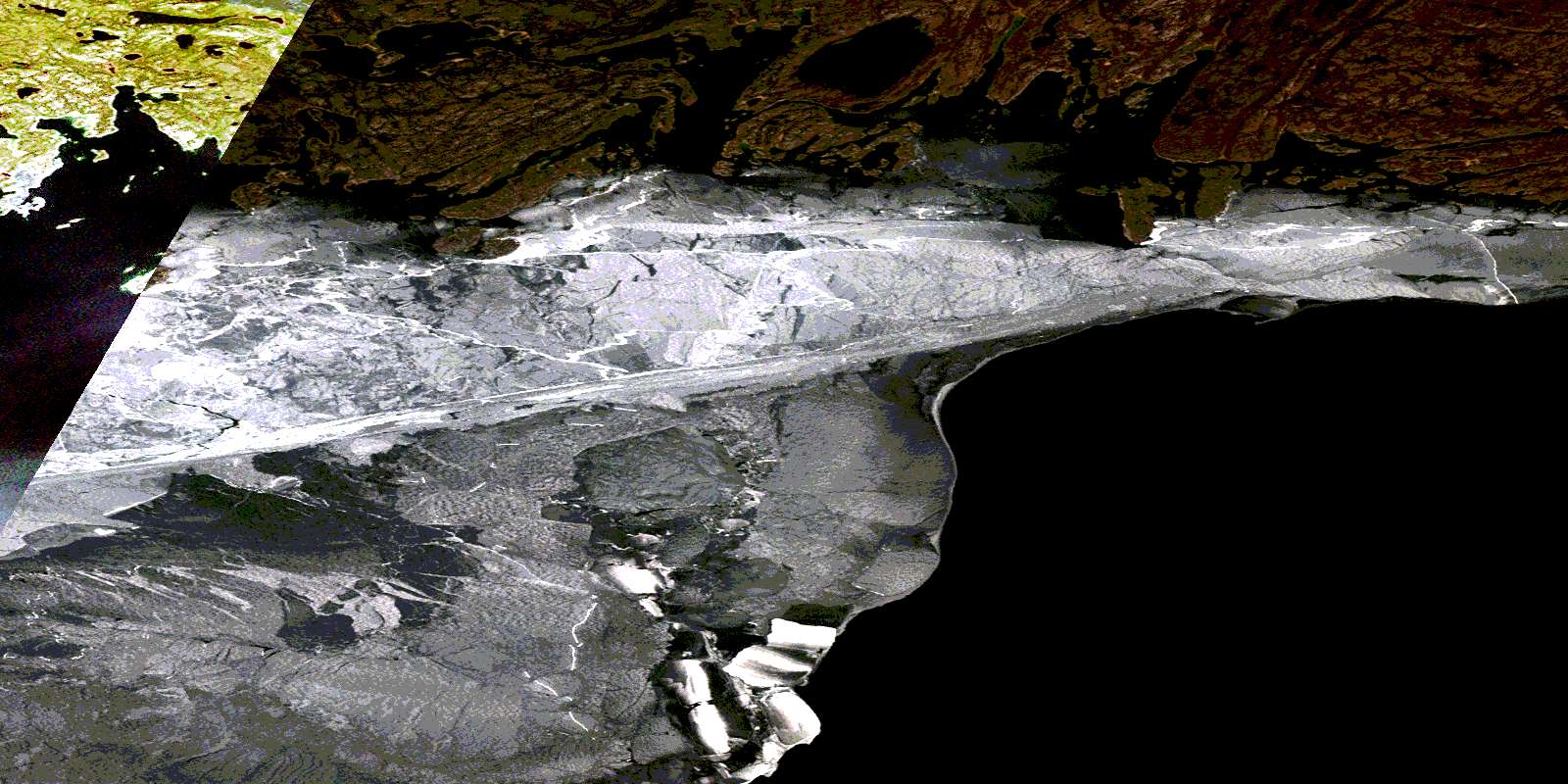
© Department of Natural Resources Canada. All rights reserved.
074N Related Maps:
074N Tazin Lake074N01 Archibald River
074N02 Cantara Bay
074N03 William Point
074N04 Pointe Ennuyeuse
074N05 Maurice Bay
074N07 Crackingstone Peninsula
074N08 Goldfields
074N09 Forget Lake
074N10 Uranium City
074N11 Thluicho Lake
074N12E Harper Lake
074N12W Harper Lake
074N13E Thainka Lake
074N13W Thainka Lake
074N14E Zin Bay
074N14W Zin Bay
074N15 Burchnall Lake
074N16 Ena Lake
