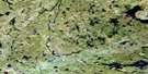
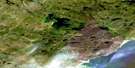
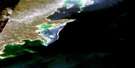
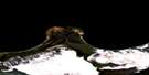
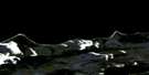
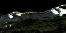
Forget Lake Satellite Image Map
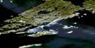
Download Free Aerial Photo 074N09 at 1:50,000 scale
Forget Lake Satellite Imagery
To view this satellite map, mouse over the air photo on the right.
You can also download this satellite image map for free:
074N09 Forget Lake high-resolution satellite image map.
Maps for the Forget Lake aerial map sheet 074N09 at 1:50,000 scale are also available in these versions:
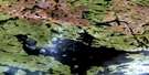
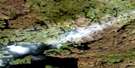
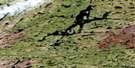
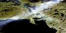
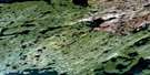
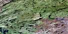
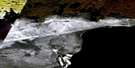
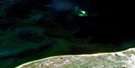
Forget Lake Surrounding Area Aerial Photo Maps
 |
 |
 |
 |
 |
 |
 |
 |
 |
 |
 |
|
 |
 |
 |
 |
© Department of Natural Resources Canada. All rights reserved.
Forget Lake Gazetteer
The following places can be found on satellite image map 074N09 Forget Lake:
Forget Lake Satellite Image: Bays
Byers BayFoot Bay
Hayter Bay
Hill Bay
McKay Bay
Murmac Bay
Nelson Bay
Scott Bay
South Bay
Forget Lake Satellite Image: Falls
Jones FallsMcLean Falls
Stewart Falls
Forget Lake Satellite Image: Islands
Hofer IslandLenz Island
Robinson Island
Todd Island
Umisk Island
Forget Lake Satellite Image: Lakes
Ace LakeAkiskoo Lake
Akut Lake
Alces Lake
Anne Lake
Barker Lake
Bearcat Lake
Beaverlodge Lake
Beckwall Lake
Beechinor Lake
Bessette Lake
Billo Lake
Charlot Lake
Collier Lake
Cutler Lake
Daniels Lake
Dargavel Lake
Dezall Lake
Dockerill Lake
Dodds Lake
Donaldson Lake
Dubois Lake
Dusyk Lake
Dyke Lake
Eagle Lake
Edworthy Lake
Elusive Lake
Emar Lake
Essar Lake
Felix Lake
Fennell Lake
Fish Lake
Flack Lake
Fookes Lake
Forget Lake
Fredette Lake
Fretwell Lake
Friedt Lake
Fulton Lake
Gale Lake
Gatzke Lake
Geebee Lake
Gibbs Lake
Giesen Lake
Glauser Lake
Glazebrook Lake
Goehring Lake
Green Lake
Greer Lake
Griswold Lake
Hab Lake
Harbor Lake
Hayter Lake
Hoey Lake
Hunt Lake
Hutton Lake
Jones Lake
Judiesch Lake
Kvam Lake
Lac Athabasca
Lake Athabasca
Little Lake
MacLean Lake
MacPherson Lake
MacRae Lake
Max Lake
McIntyre Lake
McNutt Lake
Melma Lake
Mic Lake
Mickey Lake
Milmine Lake
Moran Lake
Mustard Lake
Neely Lake
Perry Lake
Prince Lake
Raggs Lake
Reed Lake
Richardson Lake
Right Lake
Schmoo Lake
Sells Lake
Simes Lake
St. Germain Lake
Stephens Lake
Stretching Lakes
Strike Lake
Tailing Lake
Taylor Lake
Valens Lake
Verna Lake
Viking Lake
Virgin Lake
Wahlberg Lake
Way Lake
Wilson Lake
Yahyan Lake
Zenith Lake
Zora Lake
Forget Lake Satellite Image: Rapids
McDonald RapidsForget Lake Satellite Image: Rivers
Ace CreekAdams River
Black Creek
Charlot River
Felix Creek
Forget Creek
MacDonald River
McKay Creek
Neely River
Oldman River
Reed Creek
Forget Lake Satellite Image: Unincorporated areas
Eldorado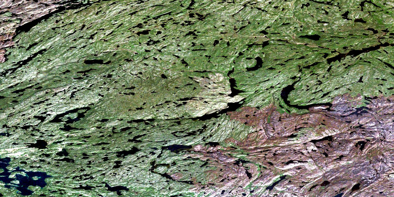
© Department of Natural Resources Canada. All rights reserved.
074N Related Maps:
074N Tazin Lake074N01 Archibald River
074N02 Cantara Bay
074N03 William Point
074N04 Pointe Ennuyeuse
074N05 Maurice Bay
074N07 Crackingstone Peninsula
074N08 Goldfields
074N09 Forget Lake
074N10 Uranium City
074N11 Thluicho Lake
074N12E Harper Lake
074N12W Harper Lake
074N13E Thainka Lake
074N13W Thainka Lake
074N14E Zin Bay
074N14W Zin Bay
074N15 Burchnall Lake
074N16 Ena Lake
