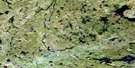
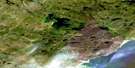
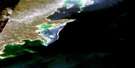
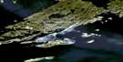
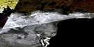
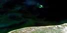
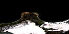
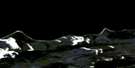
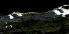
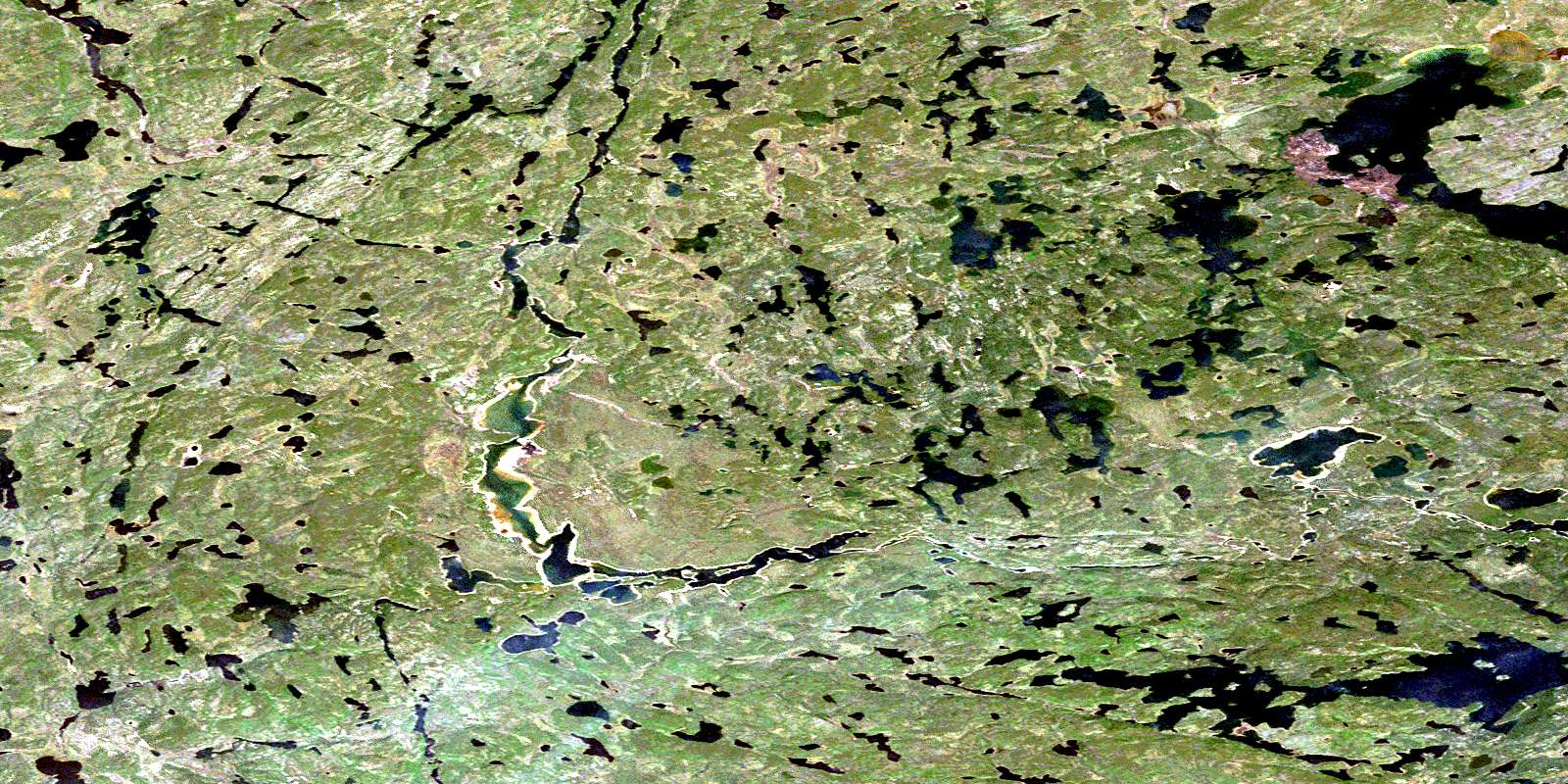
Thainka Lake Satellite Image Map
Download Free Aerial Photo 074N13 at 1:50,000 scale
Thainka Lake Satellite Imagery
To view this satellite map, mouse over the air photo on the right.
You can also download this satellite image map for free:
074N13 Thainka Lake high-resolution satellite image map.
Maps for the Thainka Lake aerial map sheet 074N13 at 1:50,000 scale are also available in these versions:
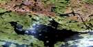
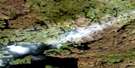
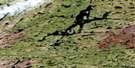
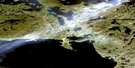
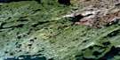
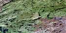
Thainka Lake Surrounding Area Aerial Photo Maps
 |
 |
 |
 |
 |
 |
 |
 |
 |
 |
 |
|
 |
 |
 |
 |
© Department of Natural Resources Canada. All rights reserved.
Thainka Lake Gazetteer
The following places can be found on satellite image map 074N13 Thainka Lake:
Thainka Lake Satellite Image: Bays
Peters BayThainka Lake Satellite Image: Channels
Mann NarrowsNettell Channel
Richmond Narrows
Rocky Narrows
Tesseni Gap
Thainka Lake Satellite Image: Falls
Teseljiri FallsThainka Lake Satellite Image: Islands
Point IslandRound Island
Thainka Lake Satellite Image: Lakes
Argue LakeBaribeau Lake
Boyle Lake
Briggs Lake
Briggs Lake
Bruck Lake
Chevalier Lake
Cremer Lakes
Delamere Lake
Desjardins Lake
Doze Lake
Fairley Lake
Flagon Lake
Gannaw Lake
Gares Lake
Hazelton Lake
Hughes Lake
Hughes Lake
Inkster Lake
Kinokamaw Lake
Kornash Lake
Lacina Lake
Lamont Lake
Luten Lake
Luten Lake
Martyn Lake
McBlain Lake
McCourt Lake
McDougall Lake
McMillan Lake
Mollard Lake
Morris Lake
Myers Lake
Nettell Lake
Ney Lake
Oswald Lake
Panasuk Lake
Renwick Lake
Sheppard Lake
Shewchuk Lake
Thainka Lake
Tsalwor Lake
Turgeon Lake
Unger Lake
Wachnow Lake
Wasden Lake
Waugh Lake
Weber Lake
Thainka Lake Satellite Image: Rivers
Tazin RiverTazin River
© Department of Natural Resources Canada. All rights reserved.
074N Related Maps:
074N Tazin Lake074N01 Archibald River
074N02 Cantara Bay
074N03 William Point
074N04 Pointe Ennuyeuse
074N05 Maurice Bay
074N07 Crackingstone Peninsula
074N08 Goldfields
074N09 Forget Lake
074N10 Uranium City
074N11 Thluicho Lake
074N12E Harper Lake
074N12W Harper Lake
074N13E Thainka Lake
074N13W Thainka Lake
074N14E Zin Bay
074N14W Zin Bay
074N15 Burchnall Lake
074N16 Ena Lake
