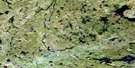
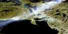
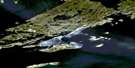
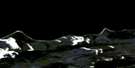
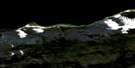
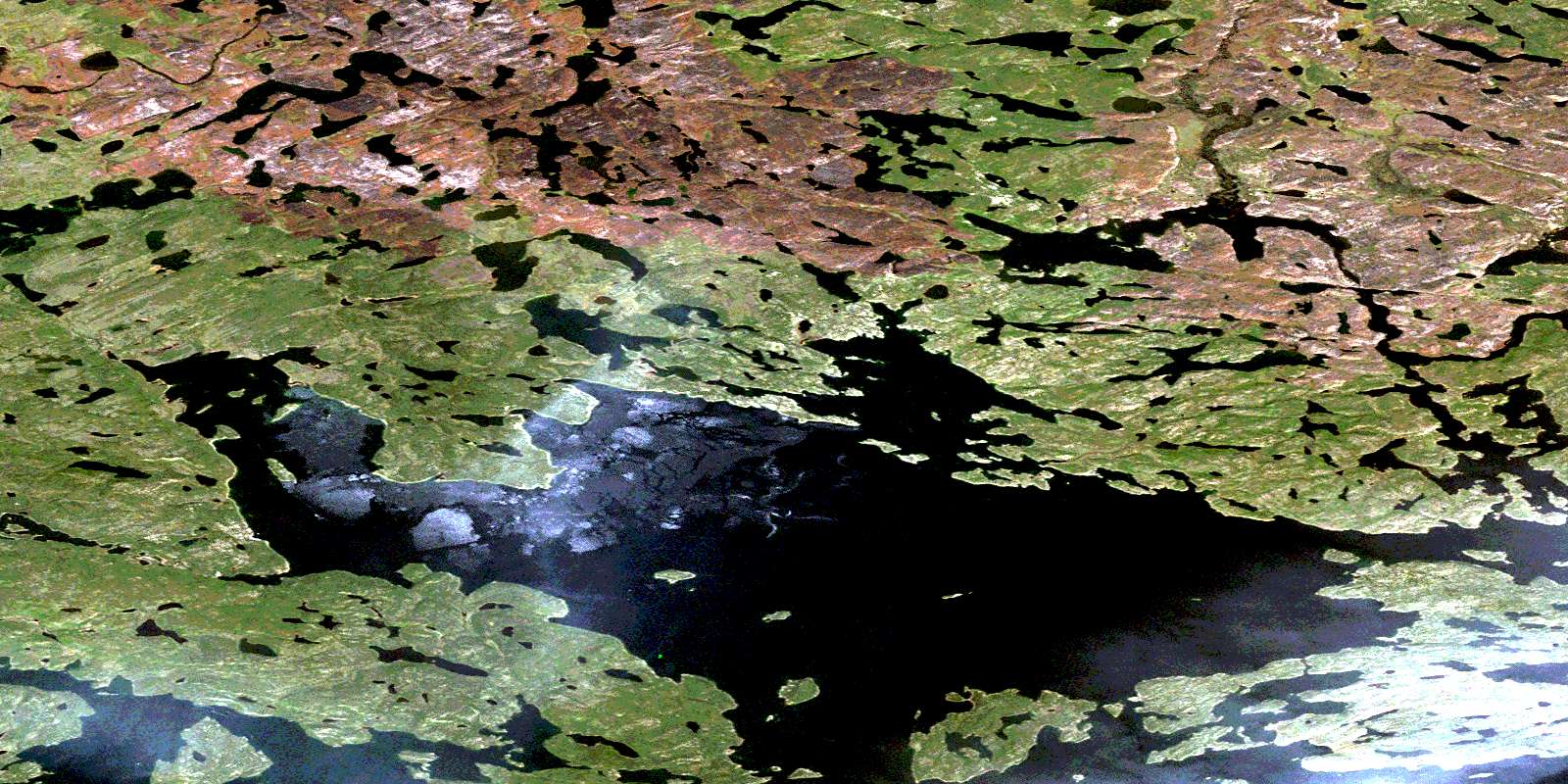
Zin Bay Satellite Image Map
Download Free Aerial Photo 074N14 at 1:50,000 scale
Zin Bay Satellite Imagery
To view this satellite map, mouse over the air photo on the right.
You can also download this satellite image map for free:
074N14 Zin Bay high-resolution satellite image map.
Maps for the Zin Bay aerial map sheet 074N14 at 1:50,000 scale are also available in these versions:
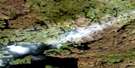
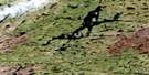
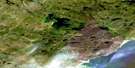
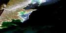
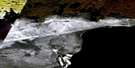
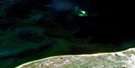
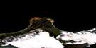
Zin Bay Surrounding Area Aerial Photo Maps
 |
 |
 |
 |
 |
 |
 |
 |
 |
 |
 |
|
 |
 |
 |
 |
© Department of Natural Resources Canada. All rights reserved.
Zin Bay Gazetteer
The following places can be found on satellite image map 074N14 Zin Bay:
Zin Bay Satellite Image: Bays
Abitau BayMitchell Bay
Northwest Bay
Ogilvy Bay
Riach Bay
Robertson Bay
Zin Bay
Zin Bay Satellite Image: Capes
Barber PointBrown Point
Zin Bay Satellite Image: Islands
Beatty IslandDavid Island
Green Island
Laird Island
Peddie Island
Point Island
Wylie Island
Zin Bay Satellite Image: Lakes
Assembly LakesBarts Lake
Carley Lake
Carley Lake
Cook Lake
Cressman Lake
Cuming Lake
Dragon Lake
Godfrey Lake
Gustilov Lake
Jordan Lake
Jordon Lake
King Lake
Koehler Lake
MacKenzie Lake
McBurney Lake
McBurney Lake
Mollard Lake
Mowatt Lake
Mustela Lake
Nettell Lake
Nolan Lake
Plaxton Lake
Ranger Lake
Ranger Lake
Shaw Lake
Swalm Lake
Swalm Lake
Tazin Lake
Thibault Lake
Trainor Lake
Tsalwor Lake
Turriff Lake
Wedge Lake
Zin Bay Satellite Image: Rivers
Abitau RiverConley Creek
Conley Creek
King River
Nolan River
Nolan River
Tazin River
© Department of Natural Resources Canada. All rights reserved.
074N Related Maps:
074N Tazin Lake074N01 Archibald River
074N02 Cantara Bay
074N03 William Point
074N04 Pointe Ennuyeuse
074N05 Maurice Bay
074N07 Crackingstone Peninsula
074N08 Goldfields
074N09 Forget Lake
074N10 Uranium City
074N11 Thluicho Lake
074N12E Harper Lake
074N12W Harper Lake
074N13E Thainka Lake
074N13W Thainka Lake
074N14E Zin Bay
074N14W Zin Bay
074N15 Burchnall Lake
074N16 Ena Lake
