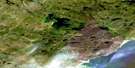
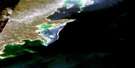
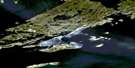
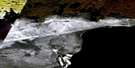
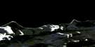
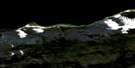
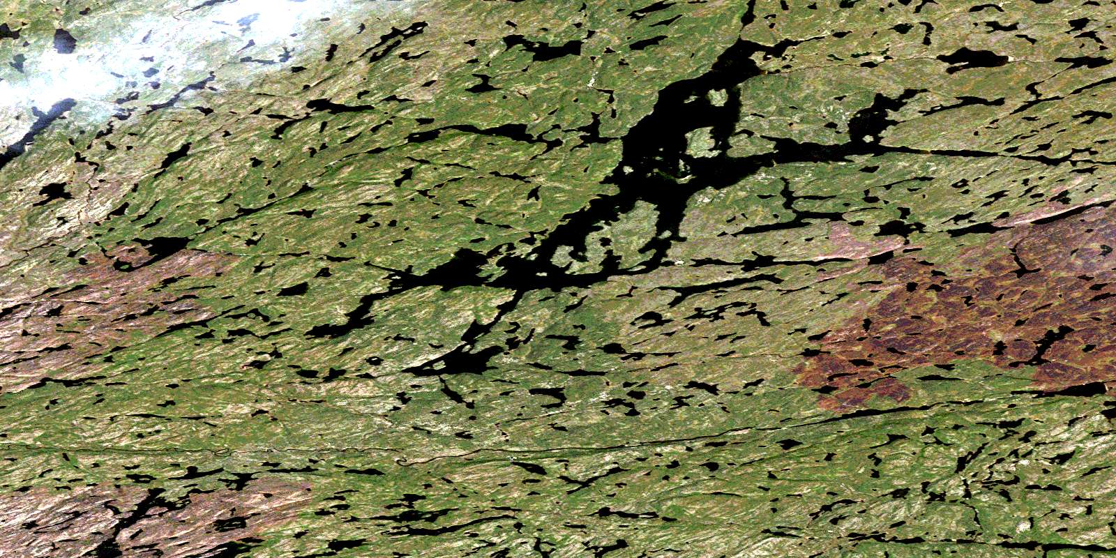
Ena Lake Satellite Image Map
Download Free Aerial Photo 074N16 at 1:50,000 scale
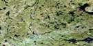
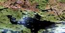
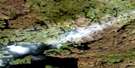
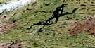
Ena Lake Satellite Imagery
To view this satellite map, mouse over the air photo on the right.
You can also download this satellite image map for free:
074N16 Ena Lake high-resolution satellite image map.
Maps for the Ena Lake aerial map sheet 074N16 at 1:50,000 scale are also available in these versions:
Ena Lake Surrounding Area Aerial Photo Maps
 |
 |
 |
 |
 |
 |
 |
 |
 |
 |
 |
|
 |
 |
 |
 |
© Department of Natural Resources Canada. All rights reserved.
Ena Lake Gazetteer
The following places can be found on satellite image map 074N16 Ena Lake:
Ena Lake Satellite Image: Bays
Davidson BayLakena Bay
Nadir Bay
Scott Bay
Ena Lake Satellite Image: Falls
Peters FallsEna Lake Satellite Image: Islands
Gillis IslandScott Island
Ena Lake Satellite Image: Lakes
Bayliss LakeBogue Lake
Bulmer Lake
Capraru Lake
Charlot Lake
Corman Lake
Dezall Lake
Drake Lake
Dusyk Lake
Ena Lake
Fast Lake
Garner Lake
Grant Lake
Greensky Lake
Hicks Lake
Keyes Lake
Linnell Lake
Litowski Lake
Little Lake
Mackey Lake
McCue Lake
McGrath Lake
McNutt Lake
Nisbet Lake
Proudlock Lake
Proudlock Lake
Quickfall Lake
Senton Lake
Senton Lake
Shorten Lake
Stretching Lakes
Veregin Lake
Ena Lake Satellite Image: Rapids
Martin RapidsEna Lake Satellite Image: Rivers
Allansmith RiverEna River
Ena River
Tazin River
Tazin River
© Department of Natural Resources Canada. All rights reserved.
074N Related Maps:
074N Tazin Lake074N01 Archibald River
074N02 Cantara Bay
074N03 William Point
074N04 Pointe Ennuyeuse
074N05 Maurice Bay
074N07 Crackingstone Peninsula
074N08 Goldfields
074N09 Forget Lake
074N10 Uranium City
074N11 Thluicho Lake
074N12E Harper Lake
074N12W Harper Lake
074N13E Thainka Lake
074N13W Thainka Lake
074N14E Zin Bay
074N14W Zin Bay
074N15 Burchnall Lake
074N16 Ena Lake
