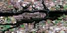
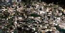
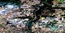
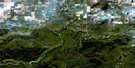
Hythe Satellite Image Map
Download Free Aerial Photo 083M05 at 1:50,000 scale
Hythe Satellite Imagery
To view this satellite map, mouse over the air photo on the right.
You can also download this satellite image map for free:
083M05 Hythe high-resolution satellite image map.
Maps for the Hythe aerial map sheet 083M05 at 1:50,000 scale are also available in these versions:
Hythe Surrounding Area Aerial Photo Maps
 |
 |
 |
 |
 |
 |
 |
 |
 |
 |
 |
 |
 |
 |
 |
 |
© Department of Natural Resources Canada. All rights reserved.
Hythe Gazetteer
The following places can be found on satellite image map 083M05 Hythe:
Hythe Satellite Image: Indian Reserves
Horse Lakes 152BHythe Satellite Image: Lakes
Albright LakeBisbing Lake
Brainard Lake
Chain Lakes
Horse Lake
Keeping Lake
Martin Lake
Powell Lake
Preston Lake
Ray Lake
Sinclair Lake
Updike Lake
Whitham Lake
Hythe Satellite Image: Major municipal/district area - major agglomerations
County of Grande Prairie No. 1Municipal District of Saddle Hills No. 20
Saddle Hills County
Hythe Satellite Image: Rivers
Albright CreekBeaverlodge River
Beavertail Creek
Hume Creek
Sinclair Creek
Steeprock Creek
Updike Creek
Hythe Satellite Image: Unincorporated areas
BrainardDemmitt
Goodfare
Lymburn
Hythe Satellite Image: Villages
Hythe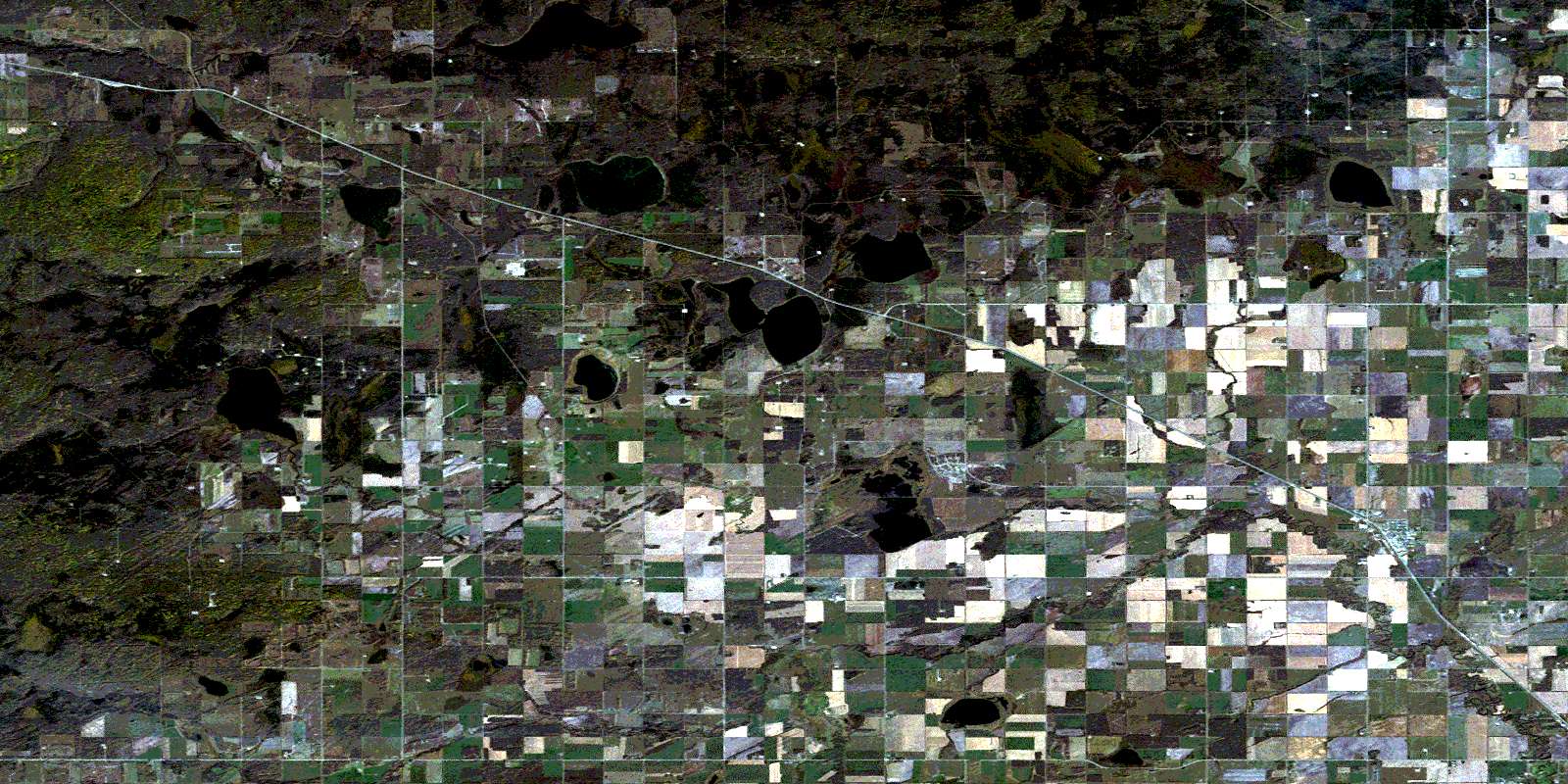
© Department of Natural Resources Canada. All rights reserved.
