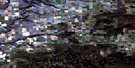
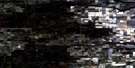
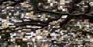
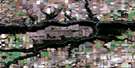
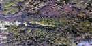
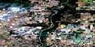
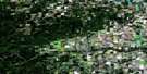
La Glace Satellite Image Map
Download Free Aerial Photo 083M06 at 1:50,000 scale
La Glace Satellite Imagery
To view this satellite map, mouse over the air photo on the right.
You can also download this satellite image map for free:
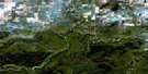
083M06 La Glace high-resolution satellite image map.
Maps for the La Glace aerial map sheet 083M06 at 1:50,000 scale are also available in these versions:
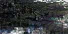
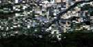
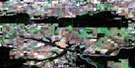
La Glace Surrounding Area Aerial Photo Maps
 |
 |
 |
 |
 |
 |
 |
 |
 |
 |
 |
 |
 |
 |
 |
 |
© Department of Natural Resources Canada. All rights reserved.
La Glace Gazetteer
The following places can be found on satellite image map 083M06 La Glace:
La Glace Satellite Image: Lakes
Anderson LakeBear Lake
Bush Lake
Cutbank Lake
Deep Lake
Gummer Lake
Hay Lake
Henderson Lake
Jones Lake
La Glace Lake
Lowe Lake
McNeill Lake
Mulligan Lake
Valhalla Lake
Wilkin Lake
Wolfe Lake
La Glace Satellite Image: Mountains
Saddle HillsLa Glace Satellite Image: Major municipal/district area - major agglomerations
County of Grande Prairie No. 1Municipal District of Saddle Hills No. 20
Saddle Hills County
La Glace Satellite Image: Rivers
Bear CreekBear River
Colquhoun Creek
Fish Creek
Hay Creek
Mulligan Creek
Niobe Creek
Webber Creek
La Glace Satellite Image: Unincorporated areas
AlbrightBuffalo Lake
La Glace
Niobe
Poplar Hill
Valhalla
Valhalla Centre
La Glace Satellite Image: Low vegetation
Grande Prairie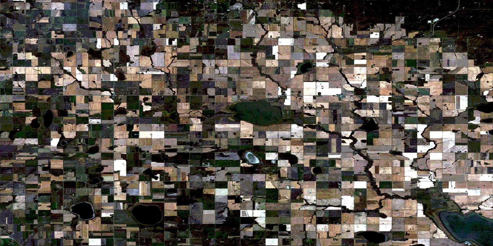
© Department of Natural Resources Canada. All rights reserved.
