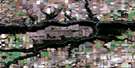
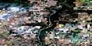
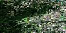
Rio Grande Satellite Image Map
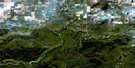
Download Free Aerial Photo 083M04 at 1:50,000 scale
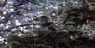
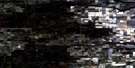
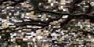
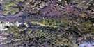
Rio Grande Satellite Imagery
To view this satellite map, mouse over the air photo on the right.
You can also download this satellite image map for free:
083M04 Rio Grande high-resolution satellite image map.
Maps for the Rio Grande aerial map sheet 083M04 at 1:50,000 scale are also available in these versions:
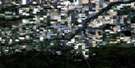
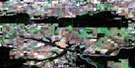
Rio Grande Surrounding Area Aerial Photo Maps
 |
 |
 |
 |
 |
 |
 |
 |
 |
 |
 |
 |
 |
 |
 |
 |
© Department of Natural Resources Canada. All rights reserved.
Rio Grande Gazetteer
The following places can be found on satellite image map 083M04 Rio Grande:
Rio Grande Satellite Image: Lakes
Burgess LakeFowel Lake
Funell Lake
Hackmatack Lake
Kamisak Lake
Lowen Lake
Twin Lakes
Yoke Lake
Rio Grande Satellite Image: Major municipal/district area - major agglomerations
County of Grande Prairie No. 1Rio Grande Satellite Image: Rivers
Barr CreekBeaverlodge River
Beavertail Creek
Diamond Dick Creek
Graham Creek
Hume Creek
Lattice Creek
Lattice Creek
Redwillow River
Steeprock Creek
Sylvester Creek
Windsor Creek
Rio Grande Satellite Image: Unincorporated areas
ElmworthHalcourt
Hayfield
Hazelmere
Hinton Trail
Leighmore
Mount Valley
Rio Grande
Windsor Creek

© Department of Natural Resources Canada. All rights reserved.
