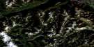
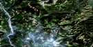
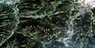
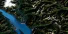
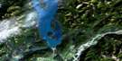
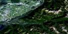
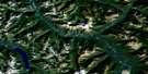
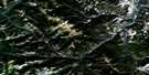
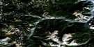
Tulameen Satellite Image Map
Download Free Aerial Photo 092H10 at 1:50,000 scale
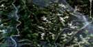
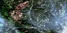
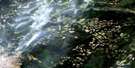
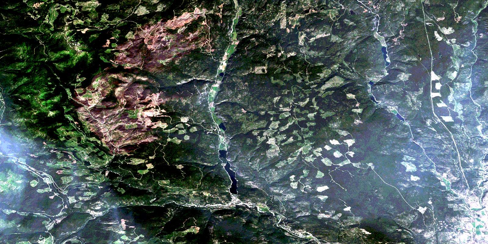
Tulameen Satellite Imagery
To view this satellite map, mouse over the air photo on the right.
You can also download this satellite image map for free:
092H10 Tulameen high-resolution satellite image map.
Maps for the Tulameen aerial map sheet 092H10 at 1:50,000 scale are also available in these versions:
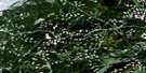
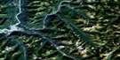
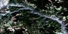
Tulameen Surrounding Area Aerial Photo Maps
 |
 |
 |
 |
 |
 |
 |
 |
 |
 |
 |
 |
 |
 |
 |
 |
© Department of Natural Resources Canada. All rights reserved.
Tulameen Gazetteer
The following places can be found on satellite image map 092H10 Tulameen:
Tulameen Satellite Image: Geographical areas
Kamloops Division Yale Land DistrictYale Division Yale Land District
Tulameen Satellite Image: Indian Reserves
One Mile Indian Reserve 6Réserve indienne One Mile 6
Tulameen Satellite Image: Lakes
Allison LakeAndys Lake
Biely Lake
Borgeson Lake
Brook Lake
Burch Lake
Butler Lake
Coquihalla Lakes
Dry Lake
Frembd Lake
Gill Lake
Goose Lake
Gulliford Lake
Halfway Lake
Hall Lake
Harvey Hall Lake
Hornet Lake
Johnny Lake
Kump Lake
Laird Lake
Larkin Lakes
Little Thynne Lake
Lodwick Lake
MacKenzie Lake
McCaffrey Lake
McDiarmid Lake
Murphy Lakes
Mystery Lake
Otter Lake
Power Lake
Robertson Lake
Round Lake
Stedman Lake
Stony Lake
Stringer Lake
Taylor Lake
Thynne Lake
Tommy Lee Lake
Tulameen Satellite Image: Mountains
Bedded RangeBoulder Mountain
Cascade Mountains
Grasshopper Mountain
Hamilton Hill
Hozameen Range
Missezula Mountain
Mount Britton
Mount Henning
Mount Jackson
Mount Pike
Mount Rabbitt
Mount Riddell
Mount Spearing
Mount Thynne
Olivine Mountain
Otter Mountain
Pike Mountain
Tulameen Satellite Image: Major municipal/district area - major agglomerations
Fraser Valley Regional DistrictRegional District of Fraser-Cheam
Tulameen Satellite Image: Conservation areas
Allison Lake ParkCoquihalla Summit Recreation Area
Otter Lake Park
Tulameen Satellite Image: Plains
Thompson PlateauTulameen Satellite Image: Rivers
Asp CreekBelfort Creek
Biely Creek
Borgeson Creek
Britton Creek
Brook Creek
Champion Creek
Connaly Creek
Cook Creek
Elliot Creek
Frembd Creek
Granite Creek
Gulliford Creek
Hardwick Creek
Hines Creek
Holm Creek
Hoover Creek
Illal Creek
John Burns Creek
Ketcham Creek
Ketchan Creek
Knudson Creek
Lawless Creek
Lockie Creek
Lodestone Creek
Luke Creek
MacKenzie Creek
Manion Creek
Manning Creek
Mark Creek
Matthew Creek
McGee Creek
McPhail Creek
Myren Creek
Oelrich Creek
Olivine Creek
Otter Creek
Perley Creek
Pioneer Creek
Rabbitt Creek
Riddell Creek
Schubert Creek
Skwum Creek
Sootheran Creek
Summers Creek
Tanglewood Creek
Thynne Creek
Tulameen River
Tulameen Satellite Image: Unincorporated areas
Allison LakeCoalmont
Manning
Tulameen
Tulameen Satellite Image: Valleys
Collins GulchFraser Gulch
© Department of Natural Resources Canada. All rights reserved.
092H Related Maps:
092H Hope092H01 Ashnola River
092H02 Manning Park
092H03 Skagit River
092H04 Chilliwack
092H05 Harrison Lake
092H06 Hope
092H07 Princeton
092H08 Hedley
092H09 Bankeir
092H10 Tulameen
092H11 Spuzzum
092H12 Mount Urquhart
092H13 Scuzzy Mountain
092H14 Boston Bar
092H15 Aspen Grove
092H16 Paradise Lake
