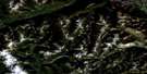
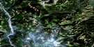
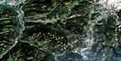
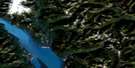
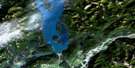
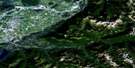
Paradise Lake Satellite Image Map
Download Free Aerial Photo 092H16 at 1:50,000 scale
Paradise Lake Satellite Imagery
To view this satellite map, mouse over the air photo on the right.
You can also download this satellite image map for free:
092H16 Paradise Lake high-resolution satellite image map.
Maps for the Paradise Lake aerial map sheet 092H16 at 1:50,000 scale are also available in these versions:
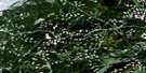
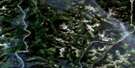
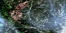
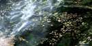
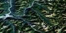
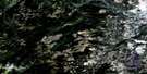
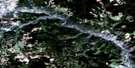
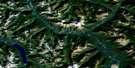
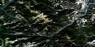
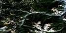
Paradise Lake Surrounding Area Aerial Photo Maps
 |
 |
 |
 |
 |
 |
 |
 |
 |
 |
 |
 |
 |
 |
 |
 |
© Department of Natural Resources Canada. All rights reserved.
Paradise Lake Gazetteer
The following places can be found on satellite image map 092H16 Paradise Lake:
Paradise Lake Satellite Image: Bays
Chapman BayDole Bay
Peterson Bay
Todd Bay
Paradise Lake Satellite Image: Capes
Hancock PointParadise Lake Satellite Image: Islands
Belle IslandLone Tree Islet
Storm Island
Paradise Lake Satellite Image: Lakes
And Another LakeAnother Lake
Bobs Lake
Boot Lake
Boulder Lake
Brenda Lake
Chapman Lake
Creighton Lake
Crescent Lake
Elkhart Lake
Ellen Lake
Friday Lake
Galena Lake
Hatheume Lake
Headwater Lakes
Hidden Lake
Island Lake
Johns Lake
Marsh Lake
Missezula Lake
Neveu Lake
Orchid Lake
Paradise Lake
Pattinson Lake
Pennask Lake
Peterson Lake
Pinnacle Lake
Pitin Lake
Pringle Lake
Rat Lake
Reservoir Lake
Saturday Lake
Siwash Lake
Skunk Lake
Steer Lake
Sunday Lake
Sunset Lake
Tepee Lakes
Tommy Lake
Vinson Lake
Walker Lake
Whitehead Lake
Paradise Lake Satellite Image: Mountains
CulminationPointGap Mountain
Mount Kathleen
Pennask Mountain
The Wart
Paradise Lake Satellite Image: Conservation areas
Pennask Lake ParkPennask Lake Recreation Area
Paradise Lake Satellite Image: Plains
Thompson PlateauTrepanege Plateau
Paradise Lake Satellite Image: Rivers
Allan CreekBrenda Creek
Chapman Creek
Conglin Creek
Crescent Creek
Dillard Creek
Elusive Creek
Galena Creek
Galois Creek
Hepton Creek
Klamin Creek
Leonard Creek
MacDonald Creek
Murray Tree Creek
North Trout Creek
Peachland Creek
Pennask Creek
Pitin Creek
Pothole Creek
Quilchena Creek
Shrimpton Creek
Simem Creek
Siwash Creek
Spring Creek
Summers Creek
Tepee Creek
Trout Creek
Vinson Creek
Walker Creek
Wasley Creek
Whitehead Creek
Paradise Lake Satellite Image: Shoals
Pearl Rocks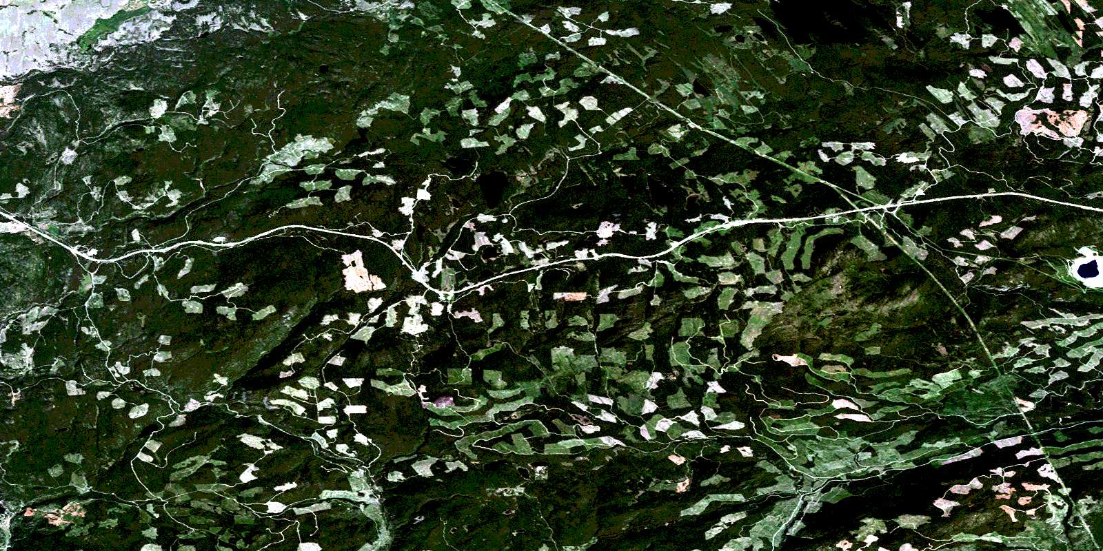
© Department of Natural Resources Canada. All rights reserved.
092H Related Maps:
092H Hope092H01 Ashnola River
092H02 Manning Park
092H03 Skagit River
092H04 Chilliwack
092H05 Harrison Lake
092H06 Hope
092H07 Princeton
092H08 Hedley
092H09 Bankeir
092H10 Tulameen
092H11 Spuzzum
092H12 Mount Urquhart
092H13 Scuzzy Mountain
092H14 Boston Bar
092H15 Aspen Grove
092H16 Paradise Lake
