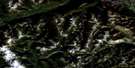
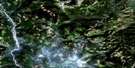
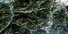
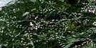
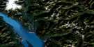
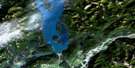
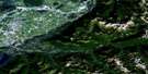
Manning Park Satellite Image Map
Download Free Aerial Photo 092H02 at 1:50,000 scale
Manning Park Satellite Imagery
To view this satellite map, mouse over the air photo on the right.
You can also download this satellite image map for free:
092H02 Manning Park high-resolution satellite image map.
Maps for the Manning Park aerial map sheet 092H02 at 1:50,000 scale are also available in these versions:
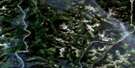
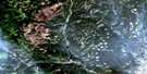
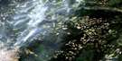
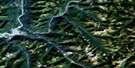
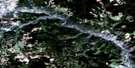
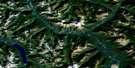
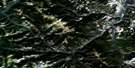
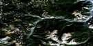
Manning Park Surrounding Area Aerial Photo Maps
 |
 |
 |
 |
 |
 |
 |
 |
 |
 |
 |
 |
 |
 |
 |
 |
© Department of Natural Resources Canada. All rights reserved.
Manning Park Gazetteer
The following places can be found on satellite image map 092H02 Manning Park:
Manning Park Satellite Image: Falls
Nepopekum FallsShadow Falls
Similkameen Falls
Manning Park Satellite Image: Geographical areas
Similkameen Division Yale Land DistrictYale Division Yale Land District
Manning Park Satellite Image: Lakes
Beavertree LakeFlash Lake
Garrison Lakes
Lightning Lake
Nicomen Lake
Poland Lake
Shadow Lake
Strike Lake
Thunder Lake
Twenty Minute Lake
Manning Park Satellite Image: Mountains
Big Buck MountainBlackwall Peak
Bojo Mountain
Bonnevier Ridge
Cascade Mountains
Chuwanten Mountain
Fourth Brother Mountain
Frosty Mountain
Grassy Mountain
Hozameen Range
Lone Goat Mountain
Lone Man Ridge
Lone Mountain
Mount Angus
Mount Kelly
Nicomen Ridge
Okanagan Range
Porcupine Peak
Red Mountain
Snow Camp Mountain
Spotted Nellie Ridge
Three Brothers Mountain
Windy Joe Mountain
Manning Park Satellite Image: Major municipal/district area - major agglomerations
Fraser Valley Regional DistrictRegional District of Fraser-Cheam
Manning Park Satellite Image: Conservation areas
Cascade Recreation AreaE.C. Manning Park
E.C. Manning Recreation Area
Manning Park
Skagit River Park
Skagit Valley Recreation Area
Manning Park Satellite Image: Plains
Strawberry FlatsThompson Plateau
Manning Park Satellite Image: Recreational sites
Manning ParkManning Park Satellite Image: Rivers
Belgie CreekBell Creek
Big Burn Creek
Bonnevier Creek
Boundary Creek
Buckhorn Creek
Cable Creek
Calcite Creek
Captain Grant Creek
Castle Creek
Chuwanten Creek
Copper Creek
Crowley Creek
Daynor Creek
Fat Dog Creek
Frosty Creek
Goodfellow Creek
Grainger Creek
Hampton Creek
Lightning Creek
Little Muddy Creek
Memaloose Creek
Middle Creek
Monument Creek
Mowich Creek
Nepopekum Creek
Norwegian Creek
Pasayten River
Passage Creek
Peeve Creek
Perdue Creek
Pinewoods Creek
Placer Creek
Poland Creek
Sandstone Creek
Similkameen River
Skagit River
Skaist River
Smitheram Creek
South Lightning Creek
Sunday Creek
Taboo Creek
Trail Creek
Turnbull Creek
Manning Park Satellite Image: Unincorporated areas
EastgateManning Park
Manning Park
Manning Park Satellite Image: Valleys
Allison PassDespair Pass
Gibson Pass
Manning Park Satellite Image: Low vegetation
McDiarmid Meadows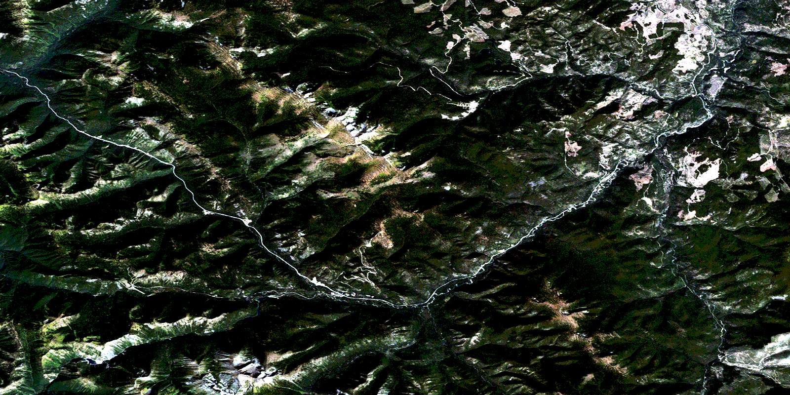
© Department of Natural Resources Canada. All rights reserved.
092H Related Maps:
092H Hope092H01 Ashnola River
092H02 Manning Park
092H03 Skagit River
092H04 Chilliwack
092H05 Harrison Lake
092H06 Hope
092H07 Princeton
092H08 Hedley
092H09 Bankeir
092H10 Tulameen
092H11 Spuzzum
092H12 Mount Urquhart
092H13 Scuzzy Mountain
092H14 Boston Bar
092H15 Aspen Grove
092H16 Paradise Lake
