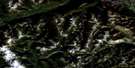
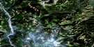
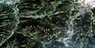
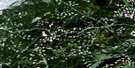
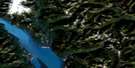
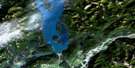
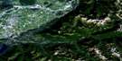
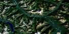
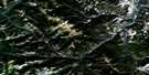
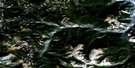
Hedley Satellite Image Map
Download Free Aerial Photo 092H08 at 1:50,000 scale
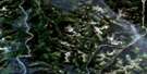
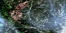
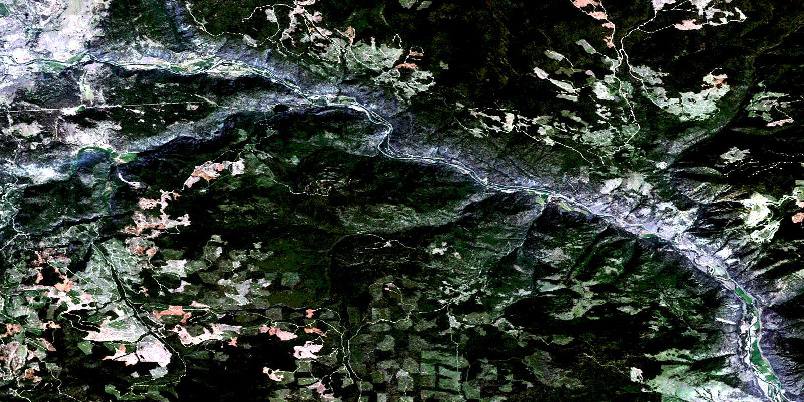
Hedley Satellite Imagery
To view this satellite map, mouse over the air photo on the right.
You can also download this satellite image map for free:
092H08 Hedley high-resolution satellite image map.
Maps for the Hedley aerial map sheet 092H08 at 1:50,000 scale are also available in these versions:
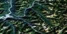
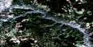
Hedley Surrounding Area Aerial Photo Maps
 |
 |
 |
 |
 |
 |
 |
 |
 |
 |
 |
 |
 |
 |
 |
 |
© Department of Natural Resources Canada. All rights reserved.
Hedley Gazetteer
The following places can be found on satellite image map 092H08 Hedley:
Hedley Satellite Image: Geographical areas
Kamloops Division Yale Land DistrictSimilkameen Division Yale Land District
Hedley Satellite Image: Indian Reserves
Ashnola Indian Reserve 10Chuchuwayha Indian Reserve 2
Chuchuwayha Indian Reserve 2C
Lulu Indian Reserve 5
Nine Mile Creek Indian Reserve 4
Réserve indienne Ashnola 10
Réserve indienne Chuchuwayha 2
Réserve indienne Chuchuwayha 2C
Réserve indienne Lulu 5
Réserve indienne Nine Mile Creek 4
Réserve indienne Vermilion Forks 1
Réserve indienne Wolf Creek 3
Vermilion Forks Indian Reserve 1
Wolf Creek Indian Reserve 3
Hedley Satellite Image: Lakes
August LakeBasely Lake
Issitz Lake
Jackson Lake
Jameson Lake
Lorne Lake
Martin Lake
Pilney Lake
Rainbow Lake
Swan Lake
Trout Lake
Victor Lake
Wolfe Lake
Hedley Satellite Image: Mountains
Aberdeen RidgeAgate Mountain
Climax Bluff
Lookout Mountain
Mount Darcy
Mount D'Arcy
Mount Miner
Nickel Plate Mountain
Skwel Kwel Peken
Stemwinder Mountain
Wilbert Hills
Windfall Ridge
Hedley Satellite Image: Major municipal/district area - major agglomerations
Regional District of Okanagan-SimilkameenHedley Satellite Image: Conservation areas
Bromley Rock ParkPrinceton Park
Stemwinder Park
Hedley Satellite Image: Plains
Thompson PlateauHedley Satellite Image: Rivers
Allison CreekArcat Creek
Basely Creek
Bradshaw Creek
Broken Creek
Cahill Creek
Coldwater Creek
Deer Valley Creek
Fraser Creek
Hardwick Creek
Hayes Creek
Hedley Creek
Henri Creek
Iltcoola Creek
Jacob Creek
Johns Creek
Larcan Creek
McNulty Creek
Nickel Plate Creek
Nissen Creek
Pettigrew Creek
Pickard Creek
Red Creek
Shisler Creek
Shoemaker Creek
Similkameen River
Smith Creek
Soukup Creek
Steven Creek
Strayhorse Creek
Sunset Creek
Verde Creek
Whistle Creek
Willis Creek
Winkler Creek
Winters Creek
Wolfe Creek
Hedley Satellite Image: Towns
PrincetonHedley Satellite Image: Unincorporated areas
AllisonBromley
East Princeton
Hedley
Nickel Plate
Norman
Hedley Satellite Image: Valleys
Aberdeen CanyonBradshaw Canyon
Horsefly Gulch
P.S. Canyon
Red Eagle Gulch
Redtop Gulch
Windfall Canyon
© Department of Natural Resources Canada. All rights reserved.
092H Related Maps:
092H Hope092H01 Ashnola River
092H02 Manning Park
092H03 Skagit River
092H04 Chilliwack
092H05 Harrison Lake
092H06 Hope
092H07 Princeton
092H08 Hedley
092H09 Bankeir
092H10 Tulameen
092H11 Spuzzum
092H12 Mount Urquhart
092H13 Scuzzy Mountain
092H14 Boston Bar
092H15 Aspen Grove
092H16 Paradise Lake
